1 m away
Mera and Island Peak Day 1 - Lukla to Chutanga
An easy start to your trip which takes you away from the crowds of Lukla and into a more serene part of the Khumbu region.
Moderate Hiking
- Distance
- 4.4 km
- Ascent
- 715 m
- Descent
- 36 m
Kongma La, Cho La, Renjo La, Chukhung Ri, Kalapathar, EBC, Gokyo Ri
Hiking Difficult

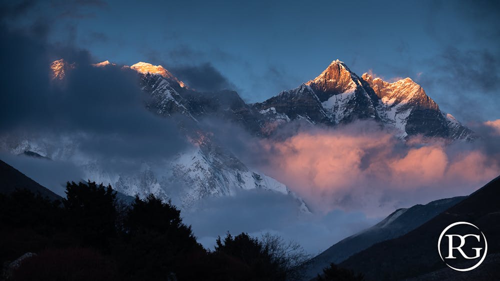
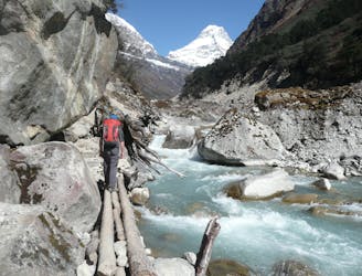
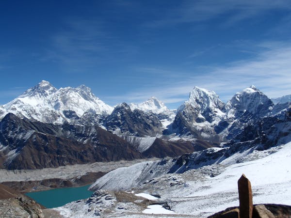
At the heart of the Khumbu Massif, this trek goes through three passes and three peaks of more than 5000 meters to offer a unique view of four giants at more than 8000 meters: Everest, Cho Oyu, Lhotse and Makalu. An exceptional and beautiful route, but committed, in a cold environment and at a high altitude permanently.
Difficult
Hiking trails where obstacles such as rocks or roots are prevalent. Some obstacles can require care to step over or around. At times, the trail can be worn and eroded. The grade of the trail is generally quite steep, and can often lead to strenuous hiking.

Some trail sections have exposed ledges or steep ascents/descents where falling could cause serious injury.

Away from help but easily accessed.
1 m away
An easy start to your trip which takes you away from the crowds of Lukla and into a more serene part of the Khumbu region.
Moderate Hiking
141 m away
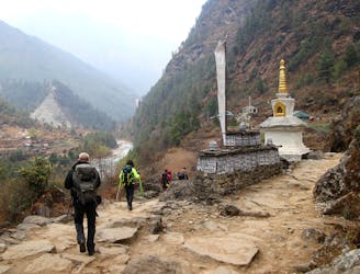
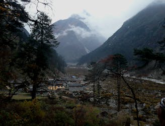
Day 1: A gentle start to a long trip, the day starts amongst the bustle and noise of Lukla and ends at the peaceful village of Phakding on the shore of the Dudh Kosi river.
Moderate Hiking
3.3 km away
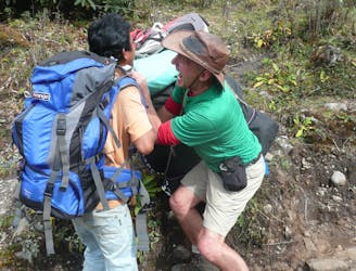
A much tougher challenge than day 1, the crossing of the Zatrwa La Col is the first significant hurdle of the expedition.
Difficult Hiking
6.2 km away

Day 2: After a day in the foothills yesterday, today's hike takes you into the high mountains and to the Sherpa capital; Namche Bazaar.
Moderate Hiking
6.7 km away
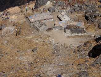
A day which takes you down to a more civilised altitude and the lovely village of Gotay (Kothe on some maps) in the Hingku valley.
Moderate Hiking
8.5 km away
After spending some time positioning yourself, this is the day where you really enter the high mountains of the Khumbu.
Difficult Hiking
15 routes · Alpine Climbing · Hiking
13 routes · Hiking