118 m away
Everest Base Camp Trek: Lukla to Phakding
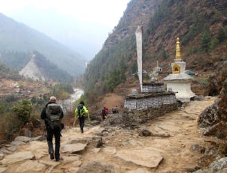
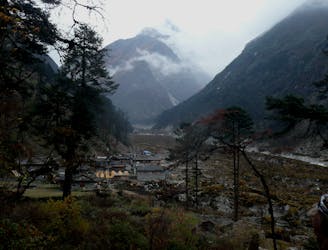
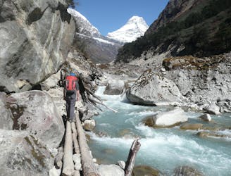
Day 1: A gentle start to a long trip, the day starts amongst the bustle and noise of Lukla and ends at the peaceful village of Phakding on the shore of the Dudh Kosi river.
Moderate Hiking
- Distance
- 7.5 km
- Ascent
- 258 m
- Descent
- 478 m