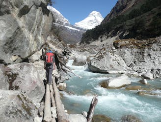
29 m away
Mera and Island Peak Day 1 - Lukla to Chutanga
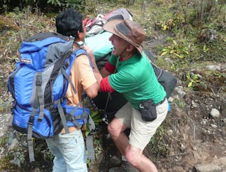
An easy start to your trip which takes you away from the crowds of Lukla and into a more serene part of the Khumbu region.
Moderate Hiking
- Distance
- 4.4 km
- Ascent
- 715 m
- Descent
- 36 m
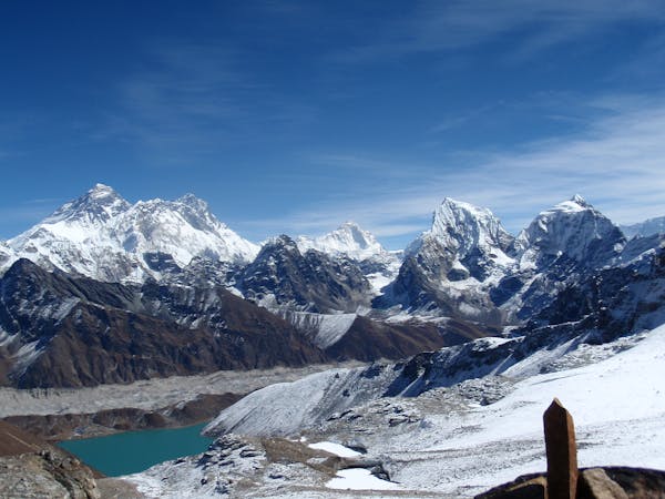
EBC trek with deviation to Gokyo and Cho La
Hiking Difficult

This is a popular hiking route which is generally considered to be difficult. It's very remote, it features high exposure and is typically done in April, May, October and November. From a low point of 2.5 km to the maximum altitude of 5.6 km, the route covers 162 km, 8303 vertical metres of ascent and 8304 vertical metres of descent.
Multiday trek from Lukla to Everest Base Camp, with return via Cho La and Gokyo
Difficult
Hiking trails where obstacles such as rocks or roots are prevalent. Some obstacles can require care to step over or around. At times, the trail can be worn and eroded. The grade of the trail is generally quite steep, and can often lead to strenuous hiking.

Some trail sections have exposed ledges or steep ascents/descents where falling could cause serious injury.
Little chance of being seen or helped in case of an accident.
29 m away
An easy start to your trip which takes you away from the crowds of Lukla and into a more serene part of the Khumbu region.
Moderate Hiking
140 m away
Day 1: A gentle start to a long trip, the day starts amongst the bustle and noise of Lukla and ends at the peaceful village of Phakding on the shore of the Dudh Kosi river.
Moderate Hiking
3.3 km away
A much tougher challenge than day 1, the crossing of the Zatrwa La Col is the first significant hurdle of the expedition.
Difficult Hiking
6.2 km away

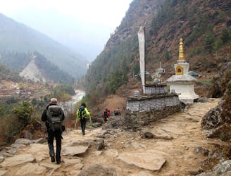
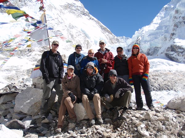
Day 2: After a day in the foothills yesterday, today's hike takes you into the high mountains and to the Sherpa capital; Namche Bazaar.
Moderate Hiking
6.7 km away
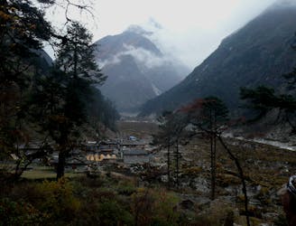
A day which takes you down to a more civilised altitude and the lovely village of Gotay (Kothe on some maps) in the Hingku valley.
Moderate Hiking
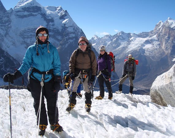
8.5 km away
After spending some time positioning yourself, this is the day where you really enter the high mountains of the Khumbu.
Difficult Hiking
15 routes · Alpine Climbing · Hiking
13 routes · Hiking