1.1 km away
Everest Base Camp Trek: Dingboche to Lobuche
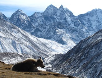
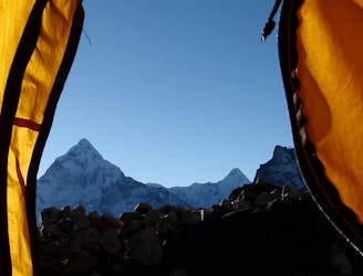
Day 5: An incredibly scenic day which puts you within reach of Base Camp.
Moderate Hiking
- Distance
- 7.7 km
- Ascent
- 647 m
- Descent
- 81 m
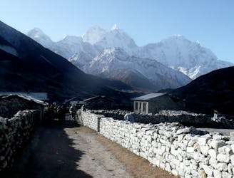
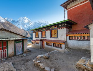
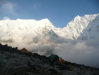
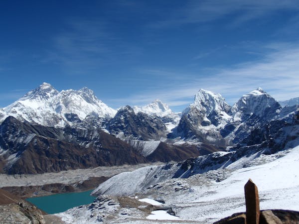
Stage three of the hike, getting closer to basecamp.
Hiking Difficult

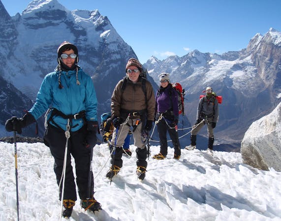
This is a popular hiking route which is generally considered to be difficult. It's extremely remote, it features extreme exposure and is typically done in an unknown time of year. From a low point of 4.3 km to the maximum altitude of 5.2 km, the route covers 11 km, 994 vertical metres of ascent and 93 vertical metres of descent.

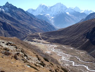
At Pheriche, Jim and Hilaree spent two more days doing side hikes and sleeping at altitude before moving to the higher location of Gorek Shep.
Difficult
Hiking trails where obstacles such as rocks or roots are prevalent. Some obstacles can require care to step over or around. At times, the trail can be worn and eroded. The grade of the trail is generally quite steep, and can often lead to strenuous hiking.

Some trail sections are extremely exposed where falling will almost certainly result in serious injury or death.
In the high mountains or remote conditions, all individuals must be completely autonomous in every situation.
1.1 km away
Day 5: An incredibly scenic day which puts you within reach of Base Camp.
Moderate Hiking
5.2 km away
A lovely long hike back into forests, thick air and civilisation.
Moderate Hiking
6 km away
Himalayan trekking at its best over a wild col.
Difficult Hiking
6 km away
Day 6: A final push up to the highest overnight stop on the trek.
Moderate Hiking
6.7 km away
A short day which provides view after view as you enter the highest mountains in the World.
Moderate Hiking
8.5 km away
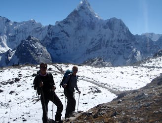
Day 4: A great but tough-feeling day where you reach the magical 4000 metre mark. The trekking is wonderful and the views staggering, but pace yourself and drink plenty of water - this is the day where most people really begin to feel the altitude!
Moderate Hiking
9.3 km away
A short day which takes you even higher into the Khumbu’s huge peaks.
Moderate Hiking
9.4 km away
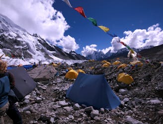
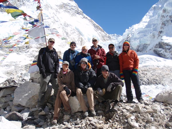
Day 8: The culmination of a fantastic week of trekking through the biggest mountains on Earth.
Moderate Hiking
9.6 km away
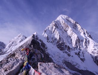
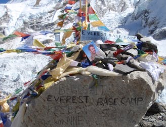
Day 7: Although it is of course possible to descend straight back to Lobuche from Gorak Shep, the ascent of Kala Patthar (a small rocky peak overlooking Everest and the Khumbu Glacier) is highly recommended and is well worth a final bit of uphill effort before the long walk back to Lukla.
Difficult Hiking
9.6 km away
A day with a "big" feeling which passes through some unusual scenery.
Difficult Hiking
15 routes · Alpine Climbing · Hiking
13 routes · Hiking
8 routes · Alpine Climbing · Freeride Skiing · Hiking