5 km away
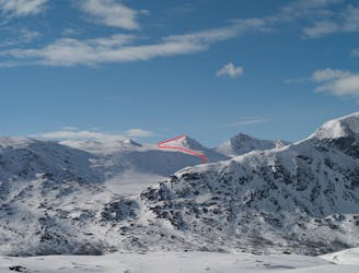
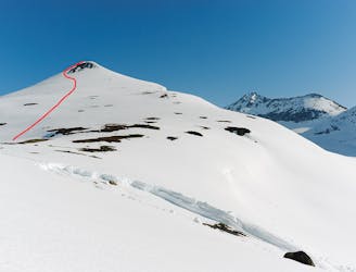
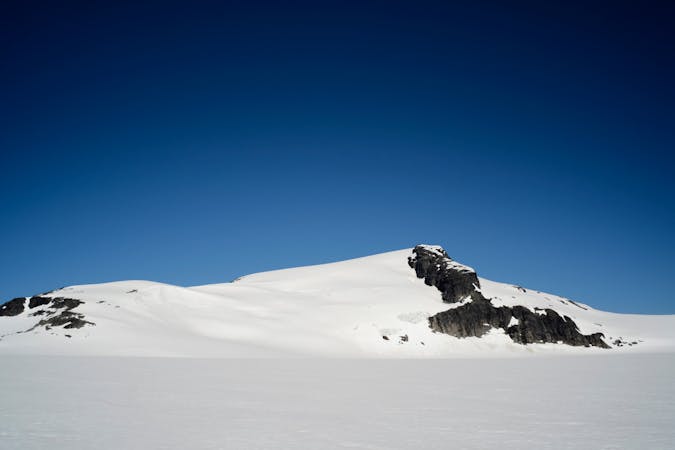
Ippočohkka (1727 metres)

One of the highest peaks around Narvik, and one of the finest to ski.
Moderate Ski Touring
- Distance
- 20 km
- Ascent
- 1.6 km
- Descent
- 1.6 km
A great but steep ski tour, possible late into the season
Ski Touring Difficult

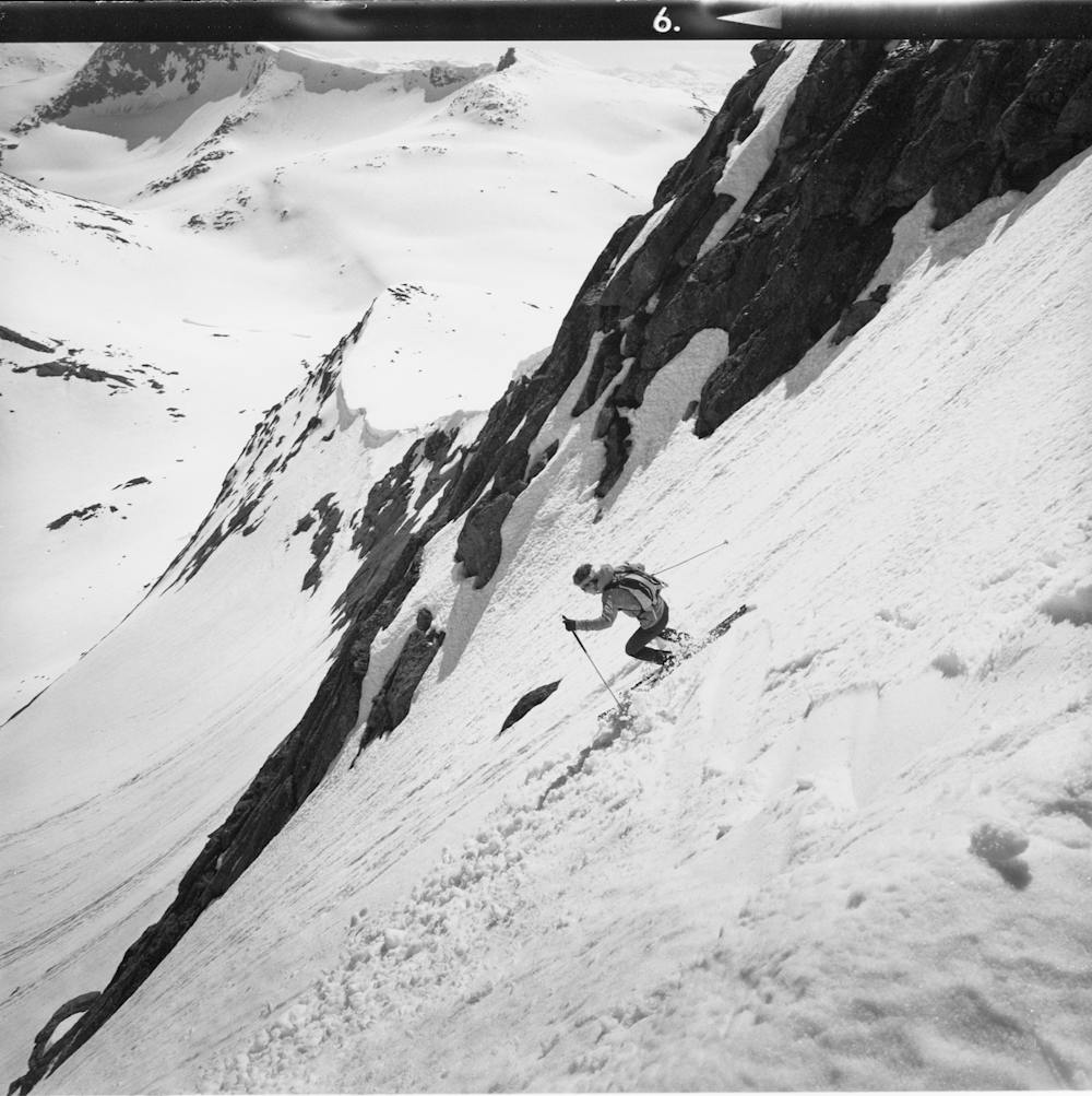
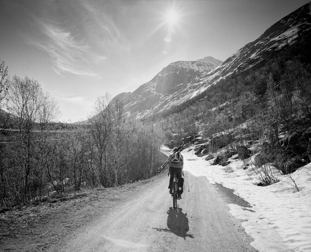
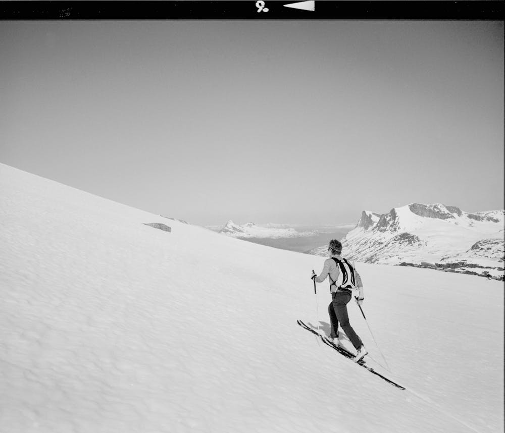
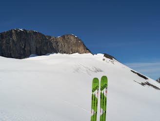
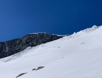
The tour starts in Fjellbu. If the road is open, you can drive up and park near the bridge below Durmålstinden (5 kilometres; 410 metres). If not, cycle or ski in. Head up the north-facing drainage between Ippocohkka and Durmålstinden. This is a serious slope of 40 degrees - you need to boot-pack the last section and very good snow stability is necessary here. The angle eases at 1100 metres, and you soon reach a wide open area that holds a lake (1140 metres). From there, head up on north-east facing slopes to 1300 metres and then a north-facing slope to the summit. With good route-finding, you can stay on slopes under 35 degrees from 1140 metres all the way to the summit. Descend the same way, or, alternatively, down the steep east face (45 degrees+) directly back to the lake. This tour requires very good snow stability and is recommended late in the season.
Difficult
Serious gradient of 30-38 degrees where a real risk of slipping exists.

As well as the slope itself, there are some obstacles (such as rock outcrops) which could aggravate injury.

In the high mountains or remote conditions, all individuals must be completely autonomous in every situation.
5 km away
One of the highest peaks around Narvik, and one of the finest to ski.
Moderate Ski Touring
9.1 km away
A remote ski peak. Nice on its own, but best combined with Ippocohkka (1727 metres)
Moderate Ski Touring
9.2 km away
An attractive ski peak in the vicinity of Lossihytta
Difficult Ski Touring
9.6 km away
A long but rewarding glacier tour in the vicinity of Lossi Hut
Moderate Ski Touring
9.6 km away
Fantastic skiing on a rarely done route
Moderate Ski Touring
8 routes · Ski Touring

20 routes · Freeride Skiing · Ski Touring