4.1 km away
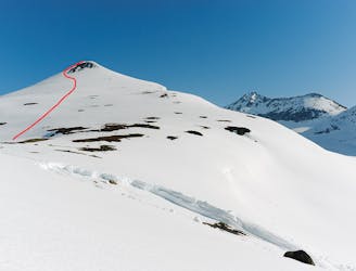
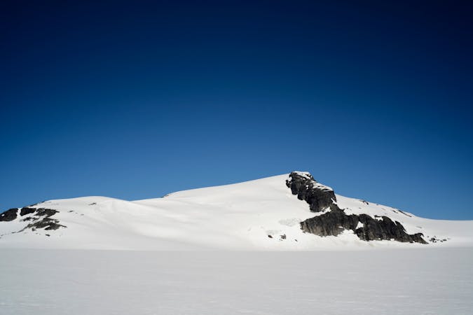
Nuorjjovarri E Summit (1577 metres)
A remote ski peak. Nice on its own, but best combined with Ippocohkka (1727 metres)
Moderate Ski Touring
- Distance
- 5.6 km
- Ascent
- 748 m
- Descent
- 108 m
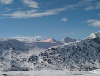
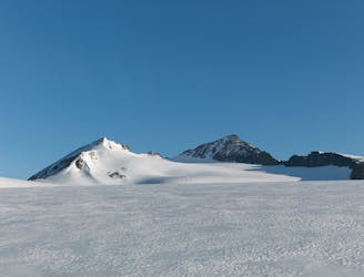
One of the highest peaks around Narvik, and one of the finest to ski.
Ski Touring Moderate

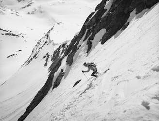
Ippočohkka is one of the highest peaks around Narvik, and one of the finest to ski. From the road, climb up the slopes just right of the creek to reach the lower part of a ridge. Then traverse along the left side of the ridge, working low-angle terrain to gain elevation. At 1050 metres, the terrain gets a little steeper (just over 30 degrees) until you reach a small plateau and lake at 1207 metres. This is an excellent place for resting before tackling the remaining part of the ascent. From the plateau, the ascent is straightforward - follow the prominent north-east/east-ridge of Ippocohkka to its summit (25-30 degrees with one short section 30-35 degrees). Descend via the same route. On lower part of the ridge, at around 1420 metres, you can also ski a steeper lines to your left that join the ascend route further down.
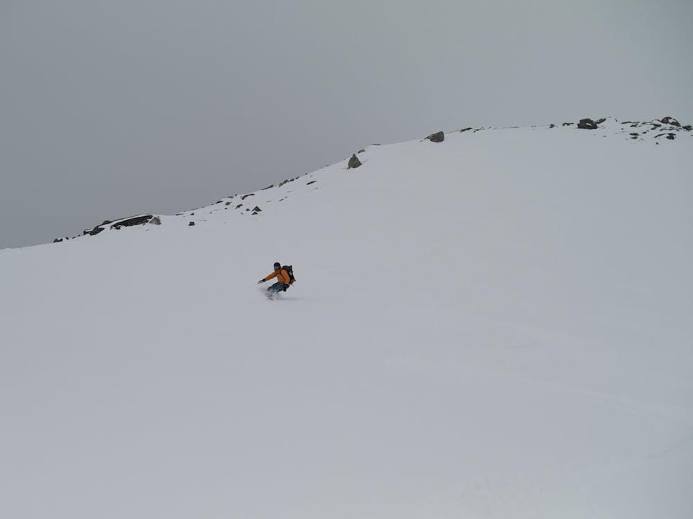
Moderate
Slopes become slightly steeper at around 25-30 degrees.

As well as the slope itself, there are some obstacles (such as rock outcrops) which could aggravate injury.

Little chance of being seen or helped in case of an accident.
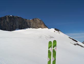
4.1 km away
A remote ski peak. Nice on its own, but best combined with Ippocohkka (1727 metres)
Moderate Ski Touring
4.3 km away
An attractive ski peak in the vicinity of Lossihytta
Difficult Ski Touring
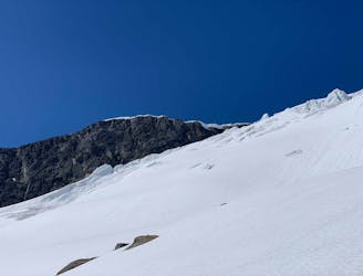
5 km away
A great but steep ski tour, possible late into the season
Difficult Ski Touring
5 km away
A long but rewarding glacier tour in the vicinity of Lossi Hut
Moderate Ski Touring
5 km away
Fantastic skiing on a rarely done route
Moderate Ski Touring
9.9 km away
A late-season skitour to Narvik`s highest summit
Difficult Ski Touring
8 routes · Ski Touring

20 routes · Freeride Skiing · Ski Touring