1.1 km away
Nuorjjovarri E Summit (1577 metres)
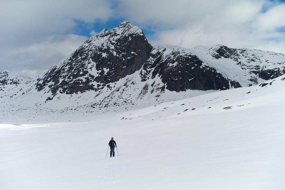
A remote ski peak. Nice on its own, but best combined with Ippocohkka (1727 metres)
Moderate Ski Touring
- Distance
- 5.6 km
- Ascent
- 748 m
- Descent
- 108 m
An attractive ski peak in the vicinity of Lossihytta
Ski Touring Difficult
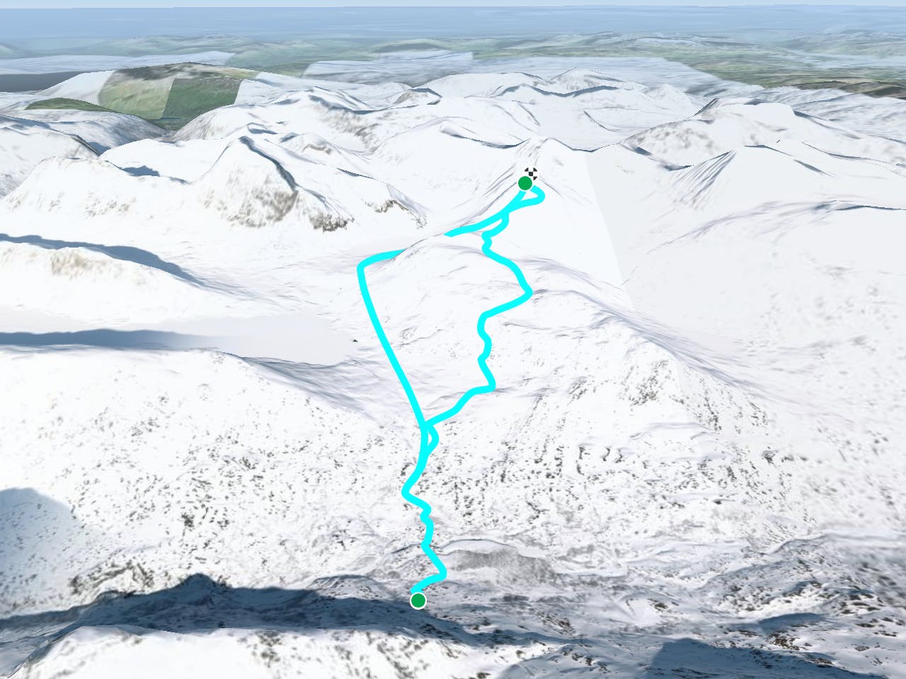
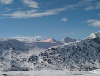
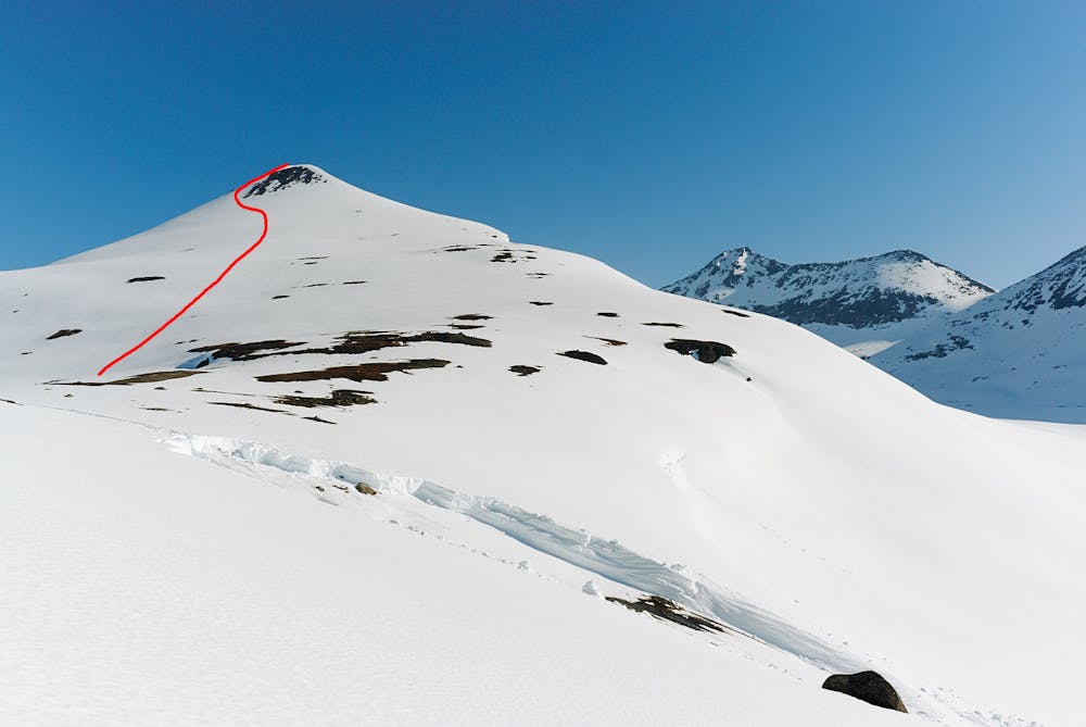
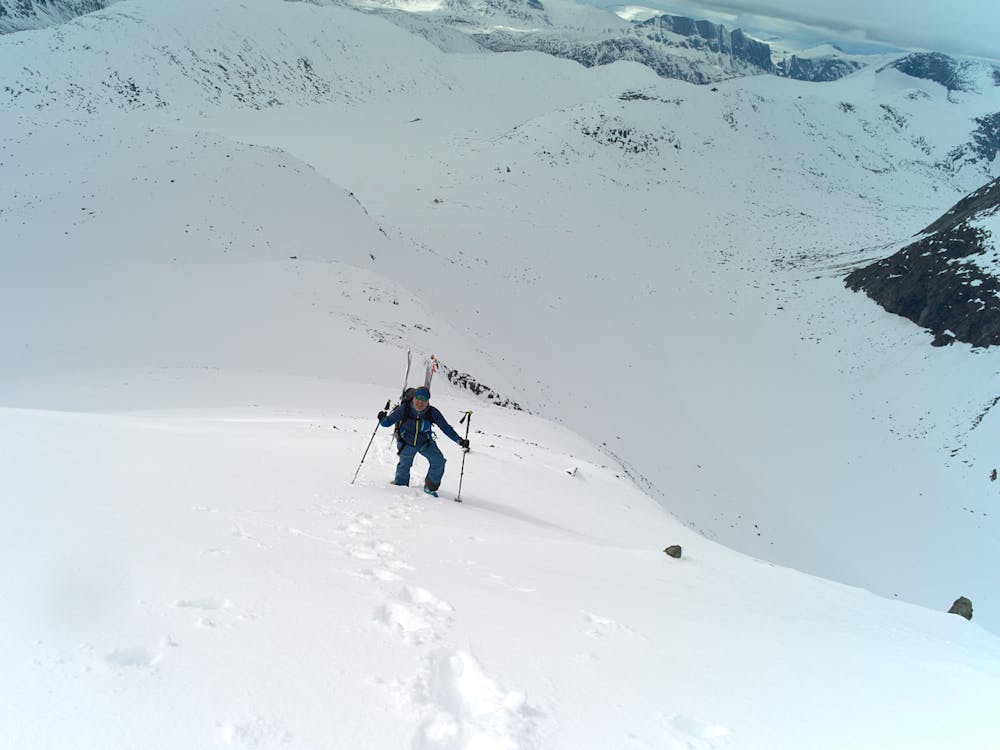
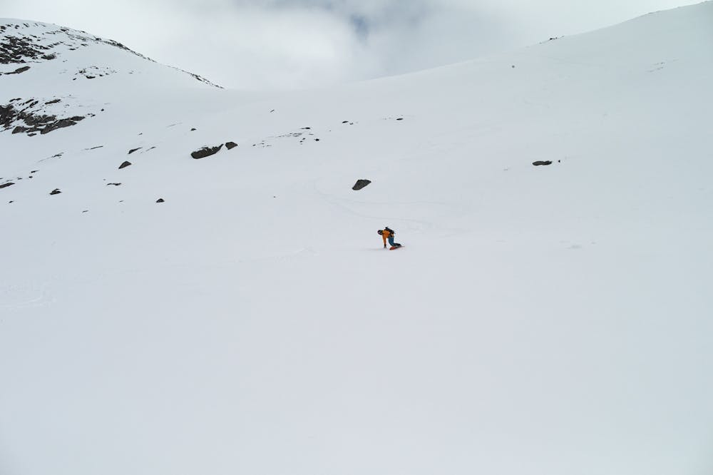
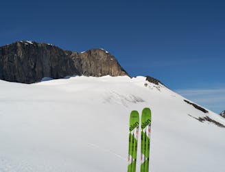
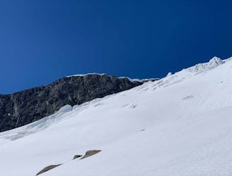
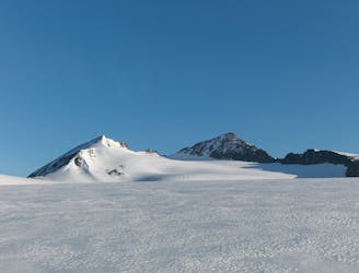
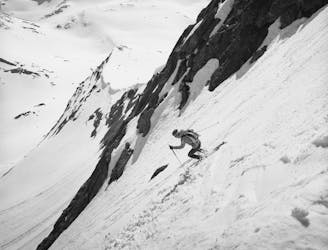
From Lossihytta head north-west over the plateau (late in the season there can be a lot of water under the snow - take care!) until you reach the slopes that lead up to a broad ridge. Climb up following the left-most of three visible bowls. Once up on the ridge, follow it north. The triangle-shaped south face of Rienatcohkka is visible straight ahead, to the north-northwest the west summit (1871 metres) of Storsteinsfjellet comes into view. At 1150 metres you start on the steeper slopes of Rienatcohkka. Its best to stay on the left side (west) of the face, near the south-west ridge. The face is 35 degrees and gets slightly steeper near the top - you may need to take your skis off here and boot pack. To descend, you have two options: 1) Descend the same way. The face is a fantastic run! As it gets flatter, skirt the slopes to the right to get through the flats. Some pushing is required on the ridge, but then a fun descent takes you back to Lossihytta. 2) After the steep summit slope, keep right and turn right into a fun little slope down towards Lossivatnet (30-35 degrees steep). Return to Lossistua along the lake shore. Be mindful of the water and weak shore ice.
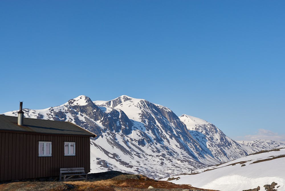
Note: there is cell-phone coverage (and 3G) at Lossihytta, but only Telenor and only in the vicinity of the hut!
Difficult
Serious gradient of 30-38 degrees where a real risk of slipping exists.

As well as the slope itself, there are some obstacles (such as rock outcrops) which could aggravate injury.

In the high mountains or remote conditions, all individuals must be completely autonomous in every situation.
1.1 km away
A remote ski peak. Nice on its own, but best combined with Ippocohkka (1727 metres)
Moderate Ski Touring
1.7 km away
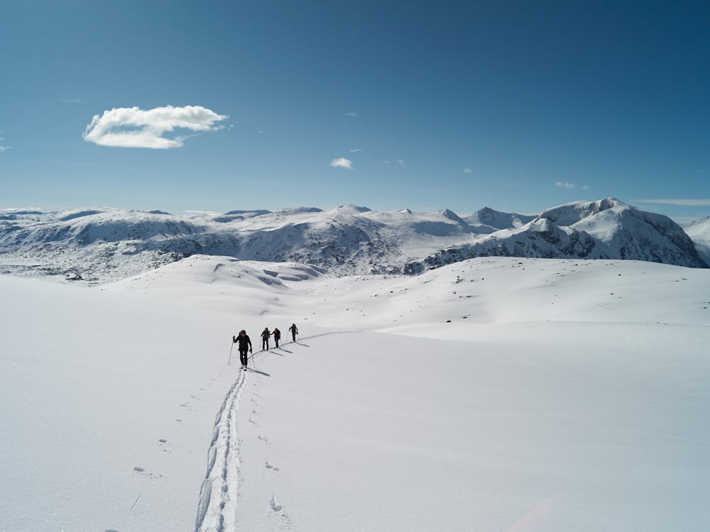
A long but rewarding glacier tour in the vicinity of Lossi Hut
Moderate Ski Touring
1.7 km away
Fantastic skiing on a rarely done route
Moderate Ski Touring
4.3 km away

One of the highest peaks around Narvik, and one of the finest to ski.
Moderate Ski Touring
5.7 km away
A late-season skitour to Narvik`s highest summit
Difficult Ski Touring
9.2 km away
A great but steep ski tour, possible late into the season
Difficult Ski Touring
8 routes · Ski Touring

20 routes · Freeride Skiing · Ski Touring