2.5 km away
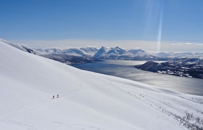
Store Jaegervasstinden
A long and wild journey in a stunning part of the Lyngen Peninsula.
Difficult Ski Touring
- Distance
- 15 km
- Ascent
- 1.6 km
- Descent
- 1.6 km
Good option when snow is not the best on big lines.
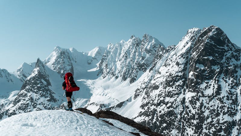
Ski Touring Moderate

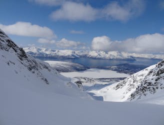
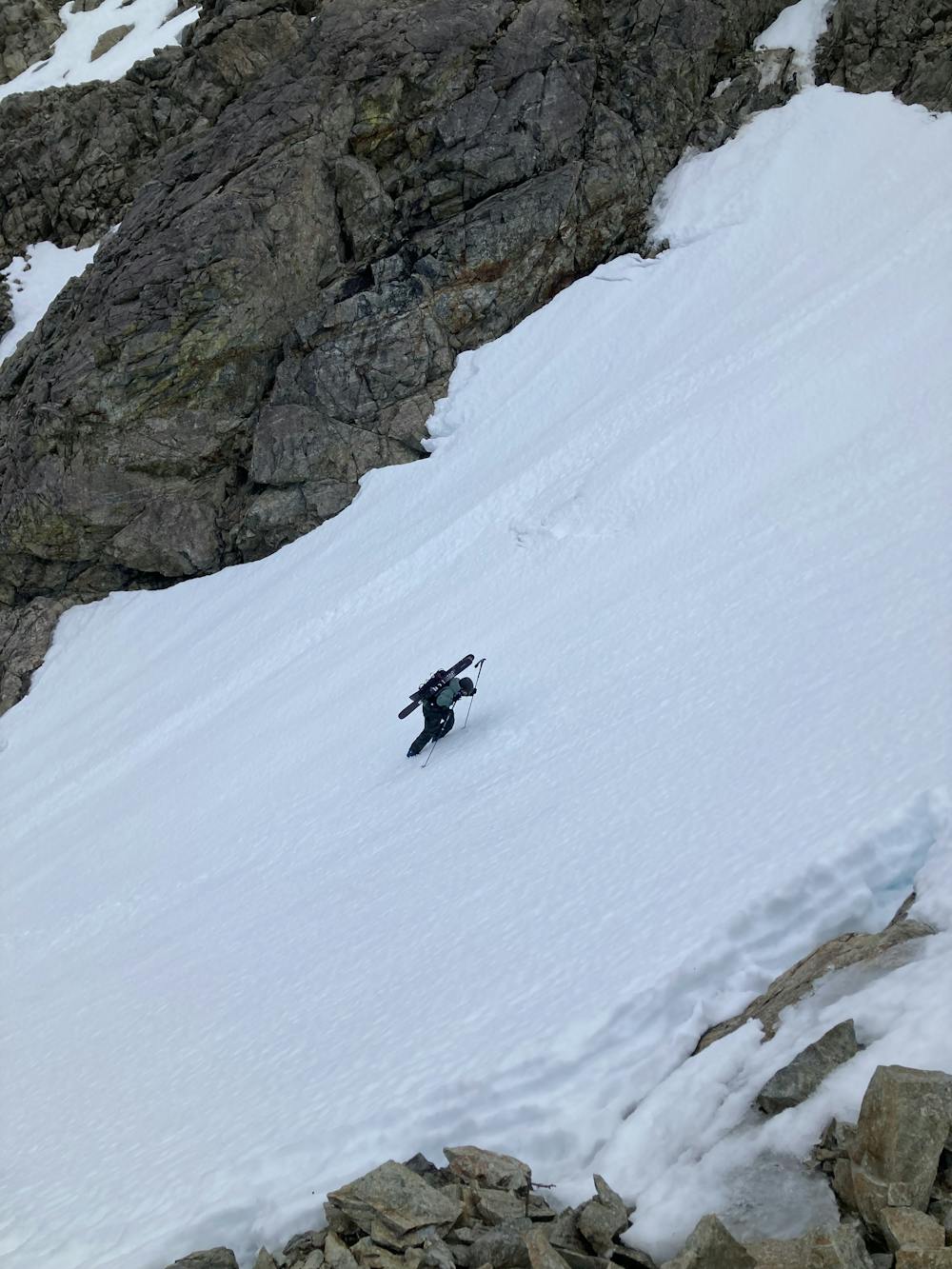
This is a popular ski touring route which is generally considered to be moderate. It's remote, it features medium exposure (e2) and is typically done between February and May. From a low point of 13 m to the maximum altitude of 935 m, the route covers 4.5 km, 957 vertical metres of ascent and 34 vertical metres of descent. It's graded 2.1 and Labande grade 3. You'll need skins, ice axe and crampons to complete it safely.
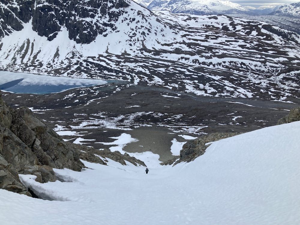
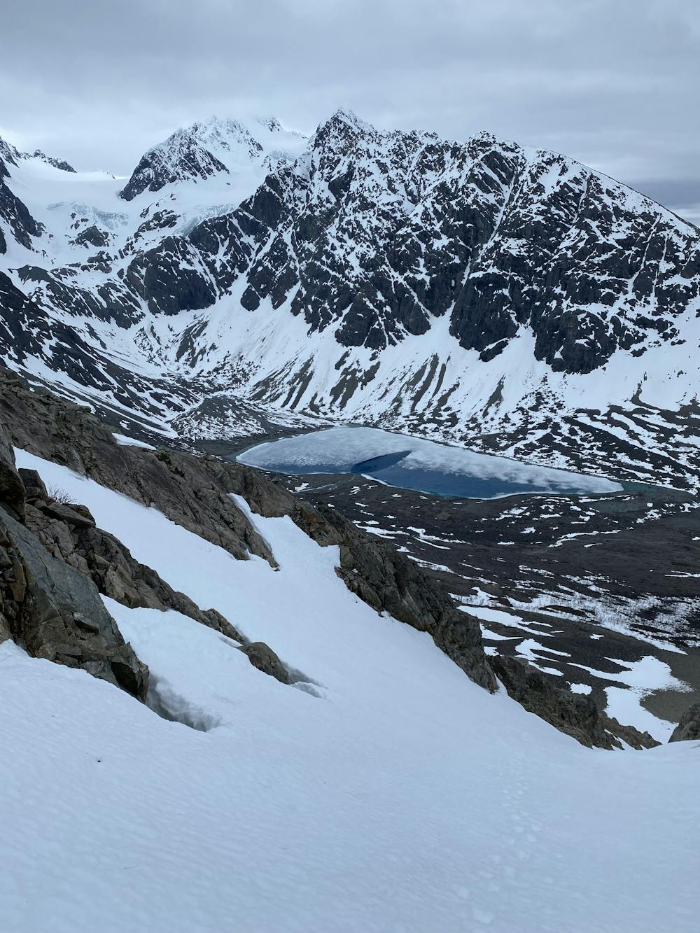
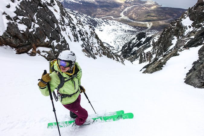
This route is good for late winter. We did at the beginning of May. The couloir is not that steep and the views are amazing also.
Moderate
Slopes become slightly steeper at around 25-30 degrees.

As well as the slope itself, there are some obstacles (such as rock outcrops) which could aggravate injury.
Away from help but easily accessed.
2.5 km away
A long and wild journey in a stunning part of the Lyngen Peninsula.
Difficult Ski Touring
7 routes · Ski Touring
10 routes · Ski Touring

50 routes · Freeride Skiing · Ski Touring

20 routes · Freeride Skiing · Ski Touring
8 routes · Ski Touring