6.4 km away
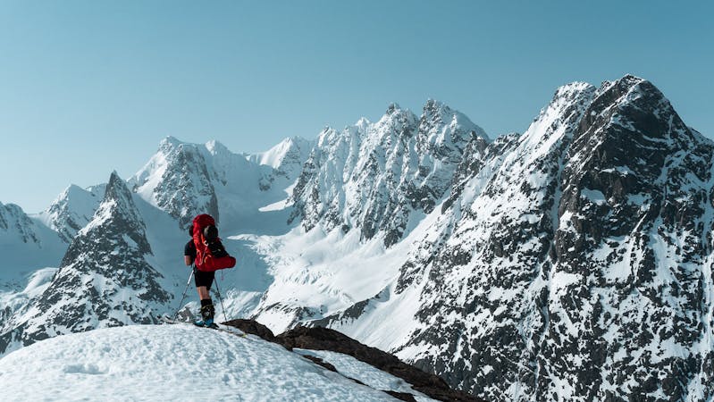
The Jiehkkevarri traverse
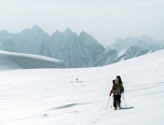
The most beautiful one-day high mountain traverse in Norway
Difficult Ski Touring
- Distance
- 28 km
- Ascent
- 2.6 km
- Descent
- 2.6 km
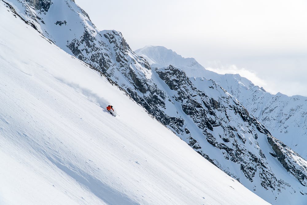
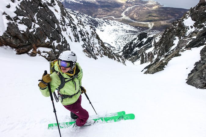
The longest continuous ski descent in Lyngen
Ski Touring Difficult

This is a very nice ski tour for a day with good snow and weather. A very nice ski descent with amazing views!
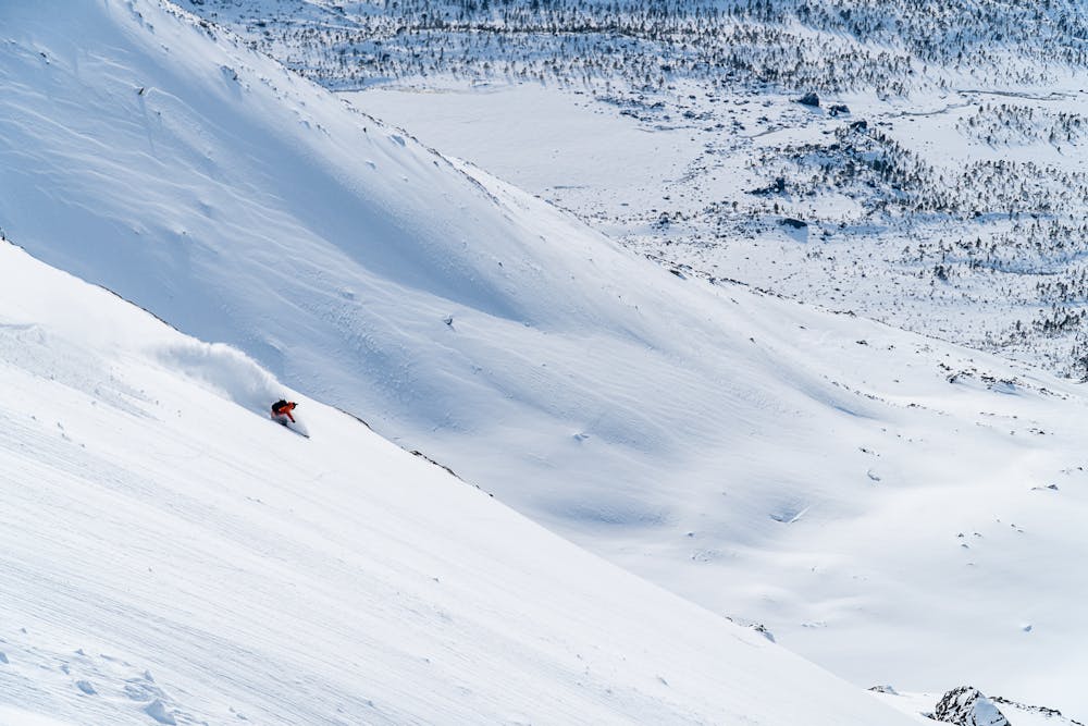
From the parking lot begin skiing through the forest towards the west face of the mountain. After a couple hundred meters you will need to cross a small river, however there is generally a snow bridge across so this is not a problem. Once you come out of the forest aim towards a ridge and try to follow this towards the top. The face gets up to 30/35 degrees so it is good to stay away from the middle of the slope on the way up. Towards the top the slope begins to be less steep. Snow almost at the top can be hard so it is good to have crampons just incase boot packing is required.
Once one gets on the summit plateau it is possible to easily ski up to the main summit by heading south. This is a very gradual ski.
For the descent one can follow the way they came up, which is really a fantastic descent. Otherwise the other option is skiing the west couloir if it is in good conditions.
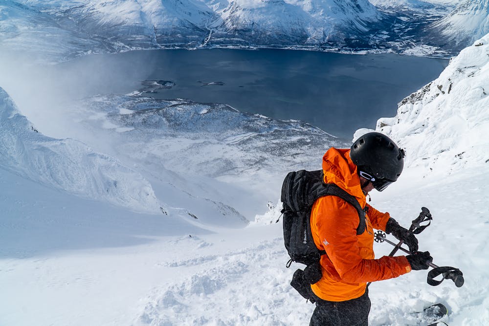
Difficult
Serious gradient of 30-38 degrees where a real risk of slipping exists.

As well as the slope itself, there are some obstacles (such as rock outcrops) which could aggravate injury.
Away from help but easily accessed.
6.4 km away
The most beautiful one-day high mountain traverse in Norway
Difficult Ski Touring
6.5 km away
A fun, steep couloir to ski in perfect spring corn and to progress in ski mountaineering
Severe Ski Touring
10 routes · Ski Touring

20 routes · Freeride Skiing · Ski Touring
8 routes · Ski Touring