6.4 km away
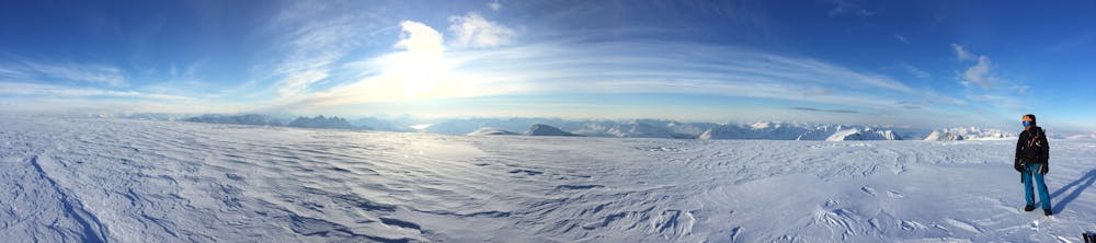
The Jiehkkevarri traverse
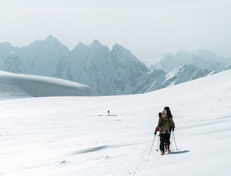
The most beautiful one-day high mountain traverse in Norway
Difficult Ski Touring
- Distance
- 28 km
- Ascent
- 2.6 km
- Descent
- 2.6 km
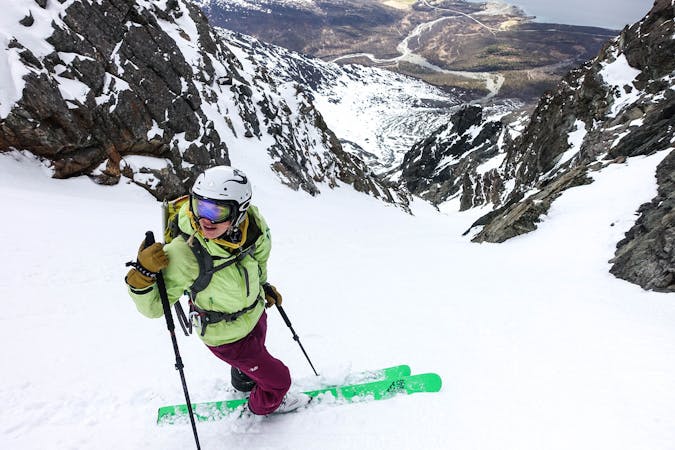
very difficult 40,45° long approach, 6-8h trip
Ski Touring Difficult

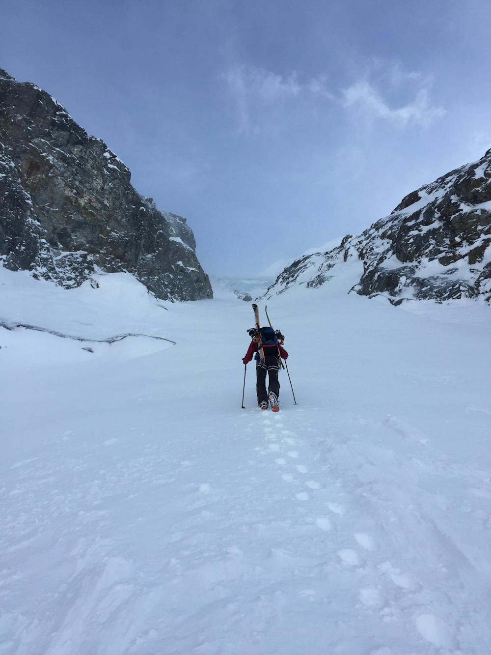
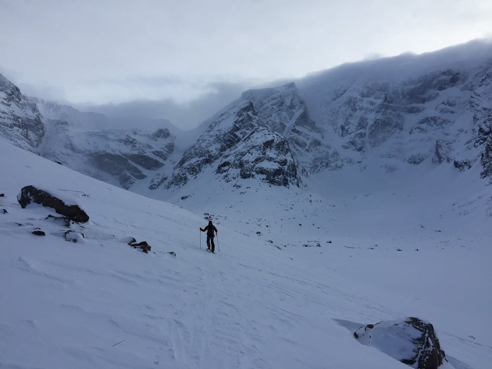
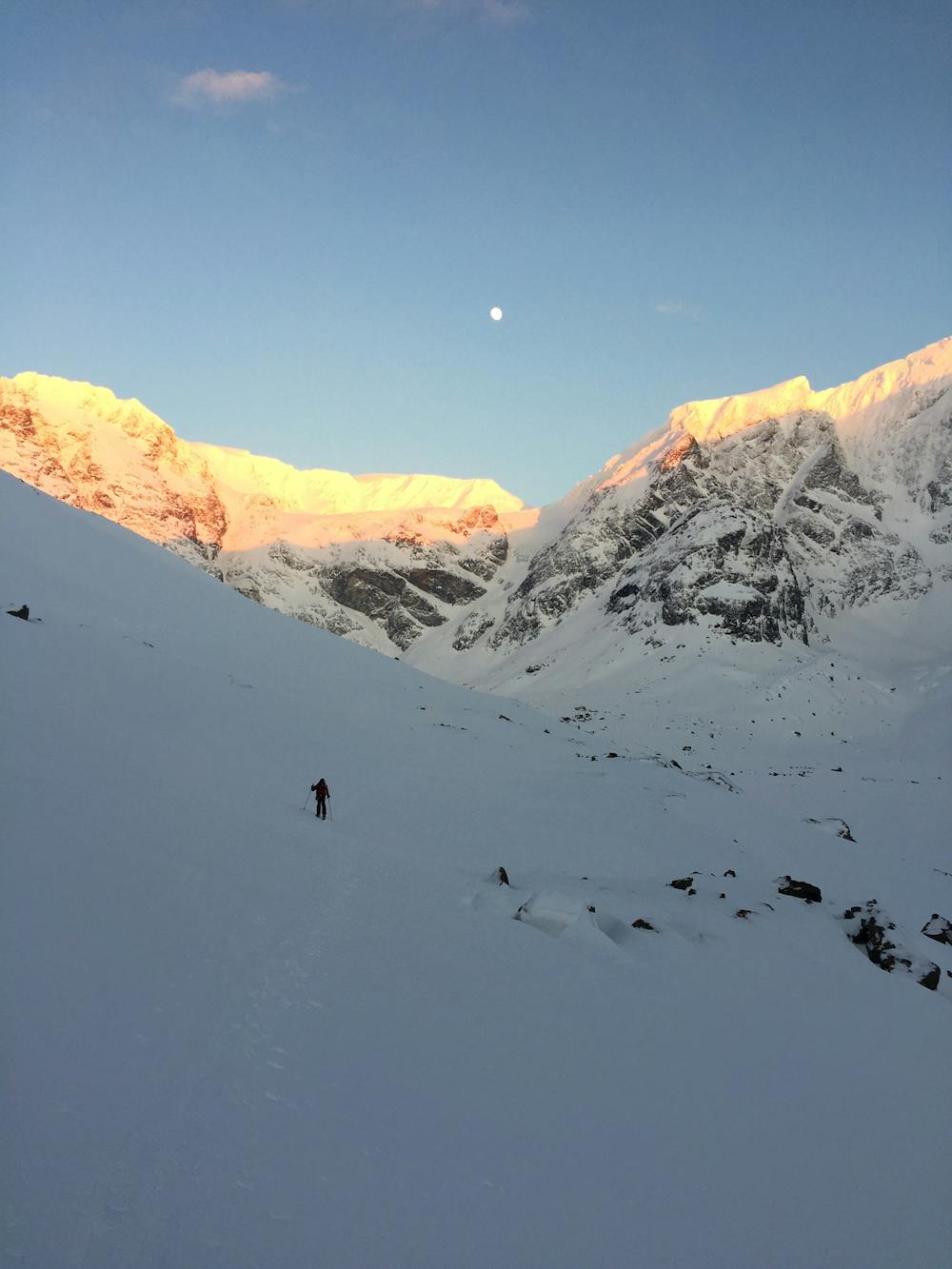
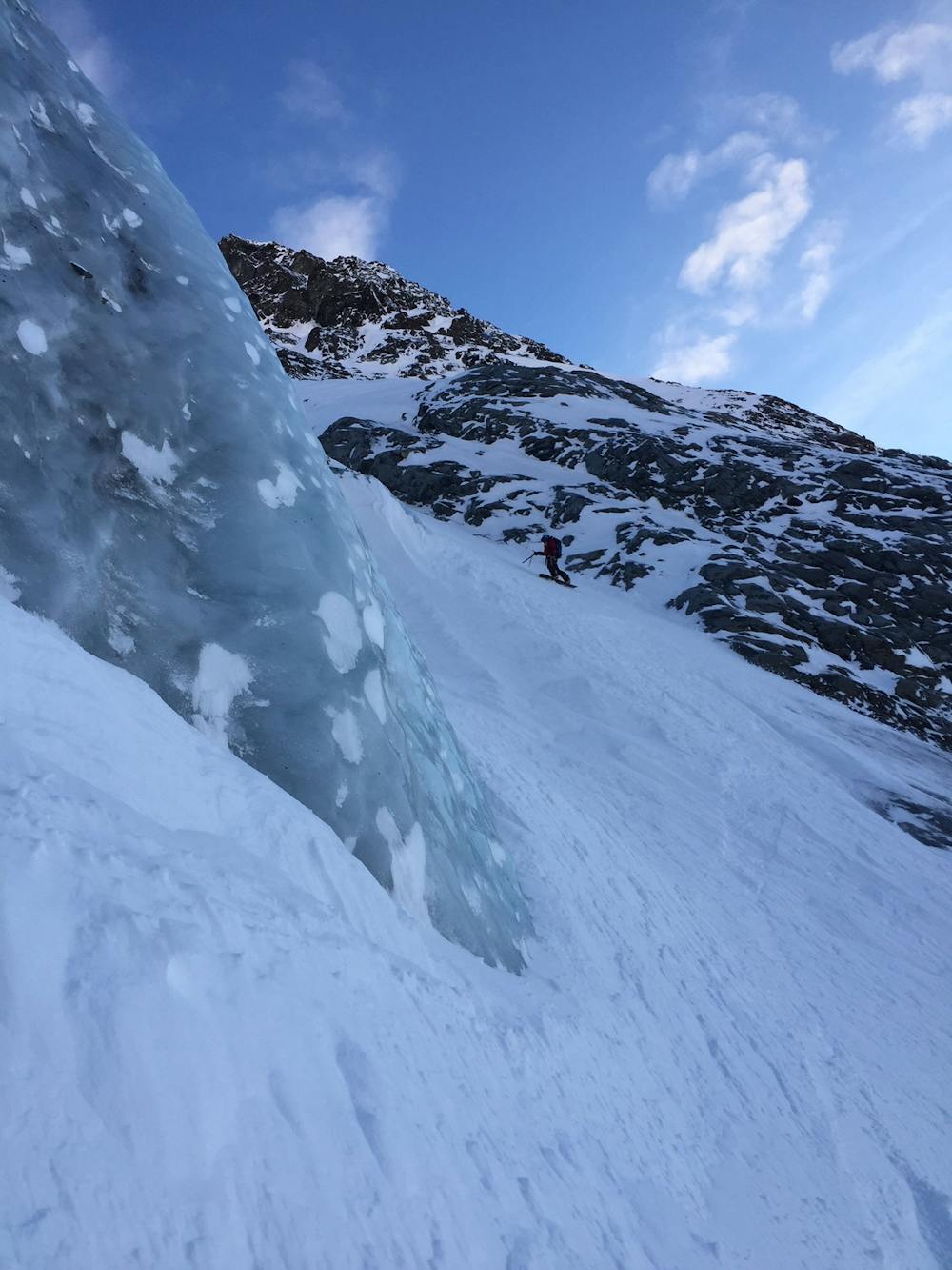
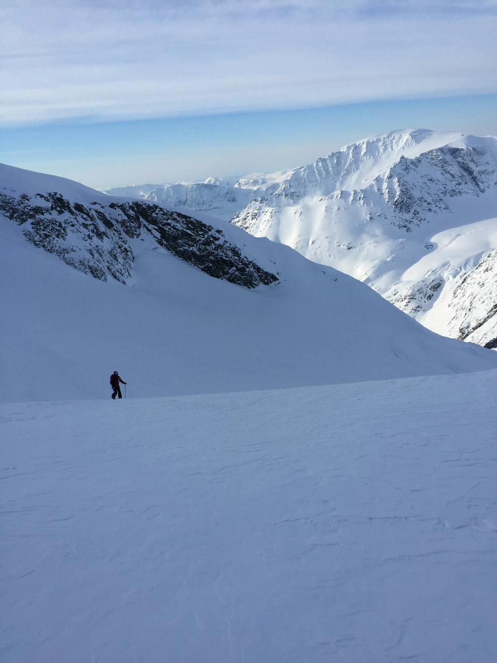
great tour really long but it's really nice to stand at the top of the lyngen. Park the car before the bridge and follow the river to the lake and reach the bottom of the face. you have to put the skins to get back to the car. Take care of the crevasses at the end of the couloir. rope up to the summit. There is a passage in the couloir which is steeper 50° and more exposed but only on 50/100m.
Difficult
Serious gradient of 30-38 degrees where a real risk of slipping exists.

As well as the slope itself, there are some obstacles (such as rock outcrops) which could aggravate injury.

Little chance of being seen or helped in case of an accident.
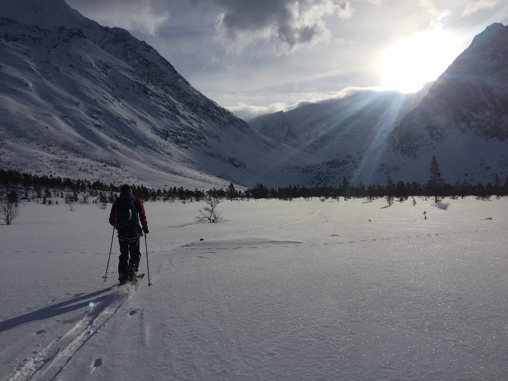
6.4 km away
The most beautiful one-day high mountain traverse in Norway
Difficult Ski Touring
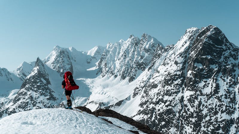
6.5 km away
A fun, steep couloir to ski in perfect spring corn and to progress in ski mountaineering
Severe Ski Touring
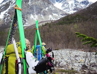
10 routes · Ski Touring

20 routes · Freeride Skiing · Ski Touring
8 routes · Ski Touring