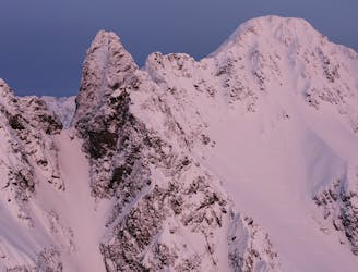
7.6 km away
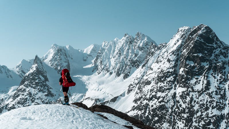
Tafeltinden (1395m)
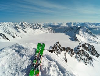
A great ski touring classic in the Lyngen Alps
Moderate Ski Touring
- Distance
- 16 km
- Ascent
- 1.6 km
- Descent
- 1.6 km
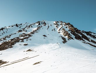
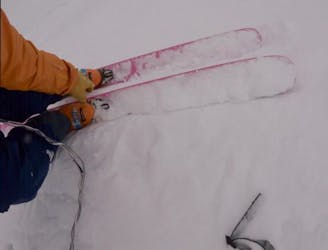
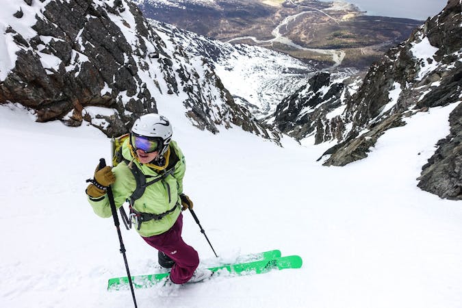
Kremen av kremen
Ski Touring Difficult

This is a popular ski touring route which is generally considered to be difficult. It's an unknown remoteness, it features unknown exposure and is typically done in an unknown time of year. From a low point of 158 m to the maximum altitude of 1.4 km, the route covers 12 km, 1402 vertical metres of ascent and 1426 vertical metres of descent.
Kremen av kremen
Difficult
Serious gradient of 30-38 degrees where a real risk of slipping exists.
7.6 km away
A great ski touring classic in the Lyngen Alps
Moderate Ski Touring
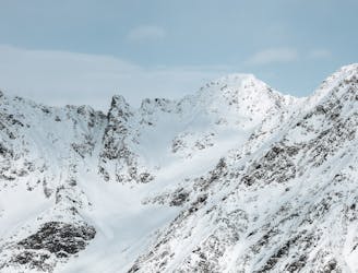
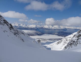
8.9 km away
Sofiatinden is one of Lyngen's finer viewpoints and has opportunities for great skiing.
Difficult Ski Touring
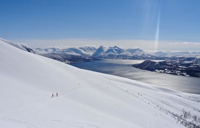
9.4 km away
The best view of the whole Lyngen peninsula
Severe Ski Touring
9.4 km away
One of Lyngen's most famous peaks. This is the mountain you choose to open and end the ski season
Severe Ski Touring
9.4 km away
Couloir from the col between Festningen and Urdkjerringa. Classic, great experience especially in early season when the day is clear and the whole mountain gets the polar night glow.
Difficult Ski Touring
9.4 km away
An ambitious and spectacular steep couloir on the north side of Sofiatinden
Extreme Ski Touring
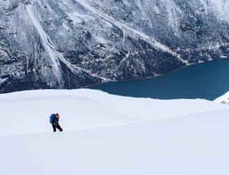
9.8 km away
A long and wild journey in a stunning part of the Lyngen Peninsula.
Difficult Ski Touring
7 routes · Ski Touring
10 routes · Ski Touring

50 routes · Freeride Skiing · Ski Touring

20 routes · Freeride Skiing · Ski Touring
8 routes · Ski Touring