2.5 km away
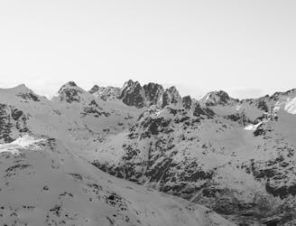
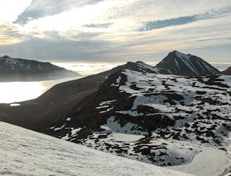
Buren (802m)

The perfect "ski-after-work-mountain", with varied skiing.
Moderate Ski Touring
- Distance
- 5.5 km
- Ascent
- 771 m
- Descent
- 771 m
Spring couloir descent from Buren
Ski Touring Moderate

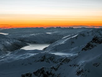
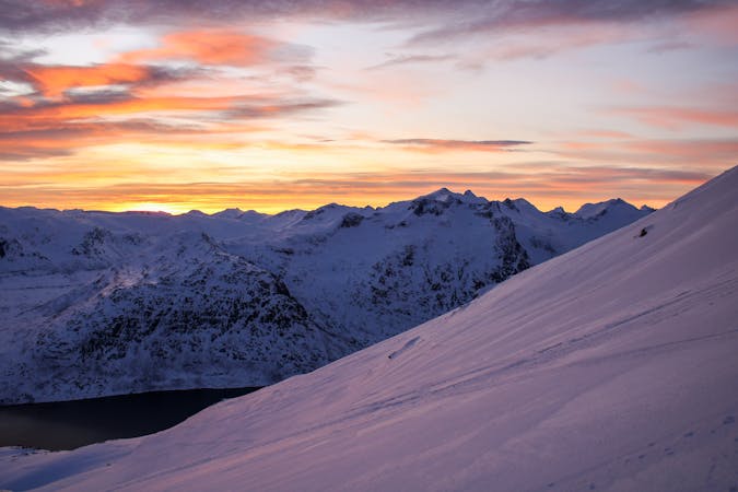
This is a popular ski touring route which is generally considered to be moderate. It's remote, it features medium exposure (e2) and is typically done between April and May. From a low point of 3 m to the maximum altitude of 746 m, the route covers 3.3 km, 98 vertical metres of ascent and 811 vertical metres of descent. You'll need rope, skins, ice axe and crampons to complete it safely.
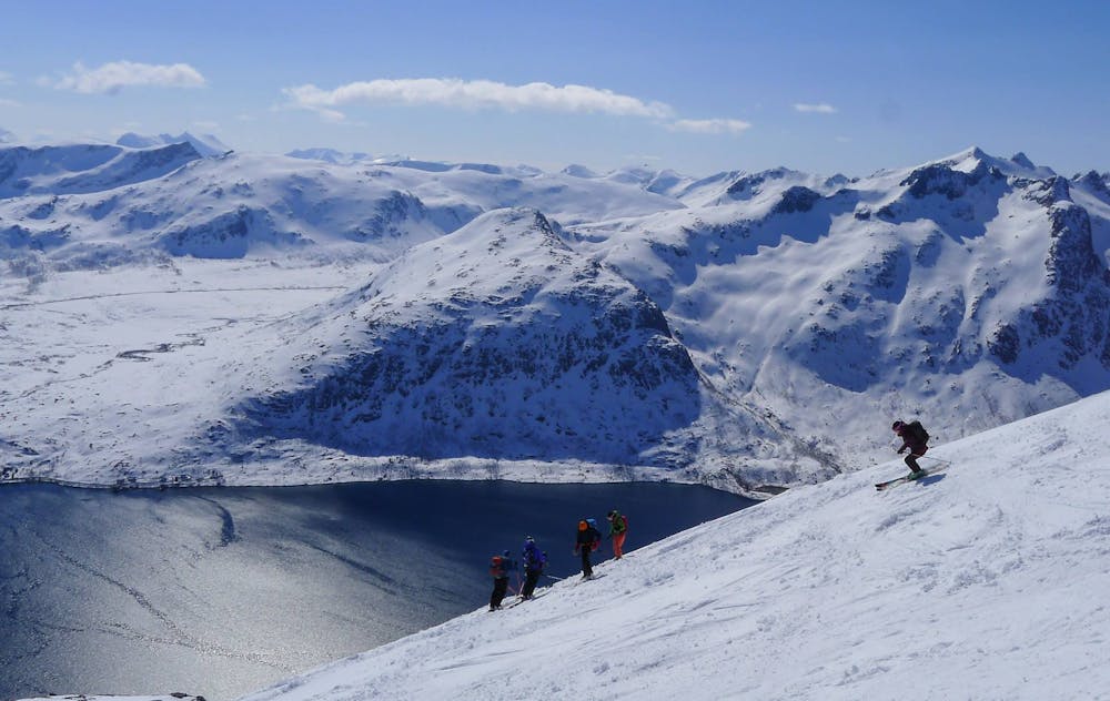
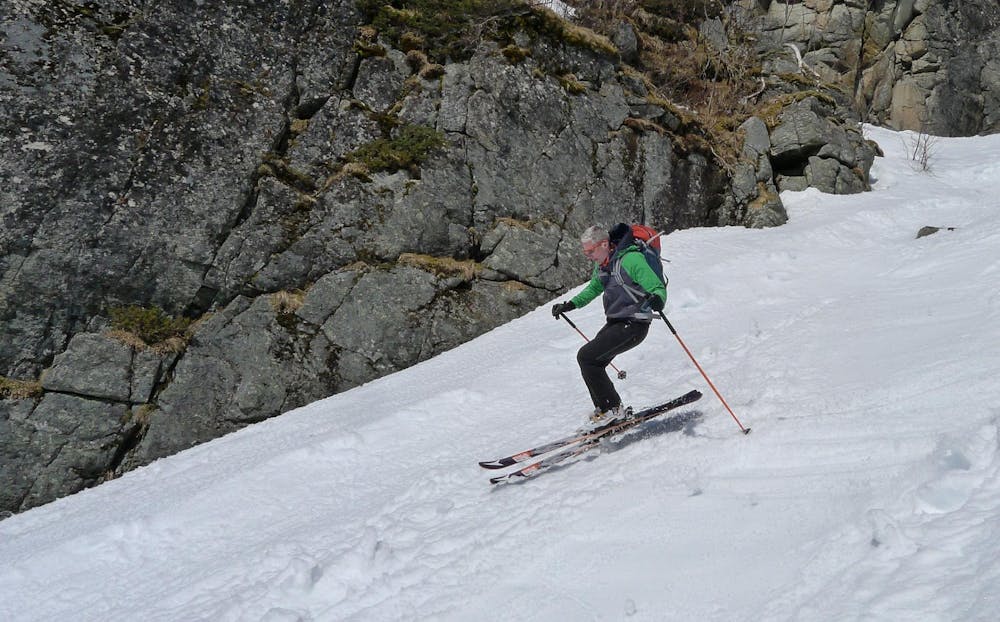
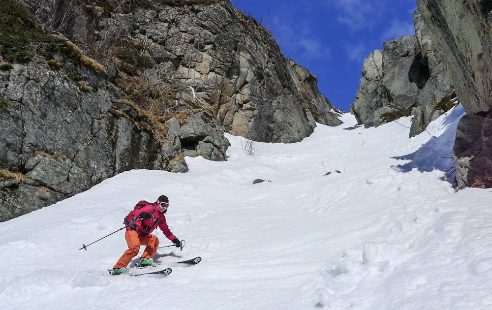
Low elevation south facing couloir requires optimum timing and snow conditions for a descent. Exit at the bottom is steep with broken crags and trees. Careful down climbing was required, care needed.
Moderate
Slopes become slightly steeper at around 25-30 degrees.

As well as the slope itself, there are some obstacles (such as rock outcrops) which could aggravate injury.
Away from help but easily accessed.
2.5 km away
The perfect "ski-after-work-mountain", with varied skiing.
Moderate Ski Touring
4.8 km away
Store Hollendaren is a very good mountain for skiing, with a long season and opportunities for steep descents.
Difficult Ski Touring
5.3 km away
The go-to mountain in the Tromsø region on powder days
Moderate Ski Touring
6.6 km away
A true classic on Kvaløya, with a scenic view over Ersfjorden
Difficult Ski Touring
8 km away
The most iconic summit on Kvaløya
Difficult Ski Touring
8.9 km away
A classic Kvaløya tour, with a little alpine adventure if you would like to reach the very top.
Difficult Ski Touring
9.6 km away
If you want to experience skiing in the midnight sun, this is the perfect peak!
Difficult Ski Touring
10 routes · Ski Touring
8 routes · Ski Touring

20 routes · Freeride Skiing · Ski Touring