97 m away
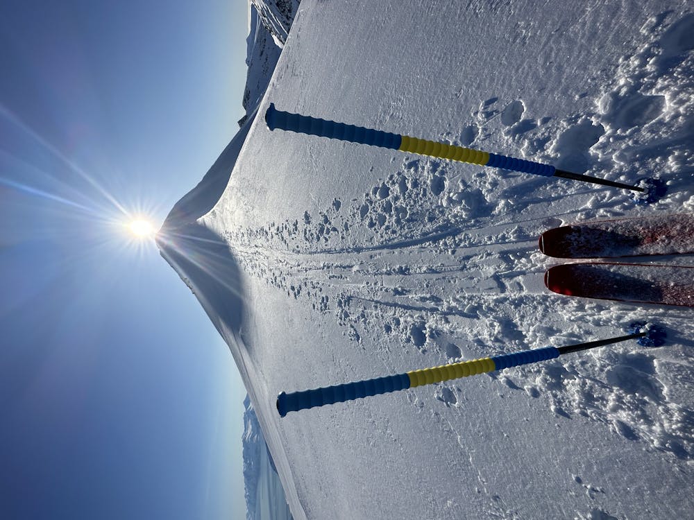
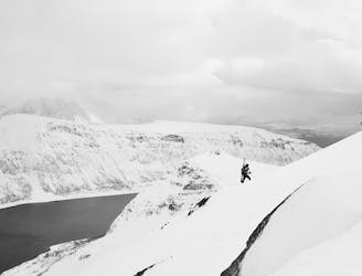
Arnøyhøgda (1170 m)
The highest mountain of Arnøya - fantastic skiing, immense views and an airy, exciting summit ridge
Difficult Ski Touring
- Distance
- 12 km
- Ascent
- 1.2 km
- Descent
- 1.2 km
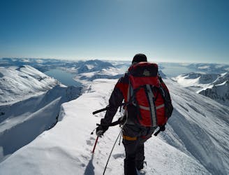
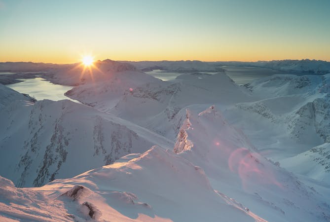
A traverse of this aesthetic peak with superb views over Grunnfjorddalen
Ski Touring Moderate

An aesthetic traverse described starting from the north, with the aim of skiing spring snow on southerly aspects. Could also be done as an out and back trip descending to the north in colder conditions for a power descent.
The approach from the north involves crossing a plateau so be prepared for some time on the flat before climbing towards the summit ridge. This is wide enough to skin in good conditions (consider coutou), and it is worth booting to the small summit to get the full 360 degree panorama. Watch out for the cornices which frequently form here in the high winds.
A number of lines can be skied in descent of varying gradient, before contouring Svartskogtinden to gain another south facing descent. Be cautious to find the correct line in descent crossing a convexity and traversing right to an open slope. Cornices are often present here and a short passage on steep slopes is required.
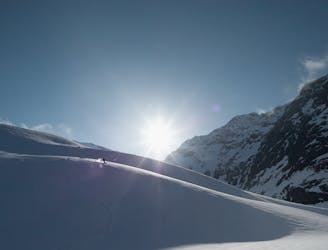
Moderate
Slopes become slightly steeper at around 25-30 degrees.

As well as the slope itself, there are some obstacles (such as rock outcrops) which could aggravate injury.

Little chance of being seen or helped in case of an accident.
97 m away
The highest mountain of Arnøya - fantastic skiing, immense views and an airy, exciting summit ridge
Difficult Ski Touring
101 m away
A rewarding moderate round-tour with a fantastic NE-facing ski descent
Moderate Ski Touring
3.7 km away
A moderate tour in stunning surroundings, and often excellent snow conditions
Moderate Ski Touring
8.8 km away
Pure steep fall-line skiing summit-to-sea.
Difficult Ski Touring
5 routes · Ski Touring

20 routes · Freeride Skiing · Ski Touring