129 m away
The Wall

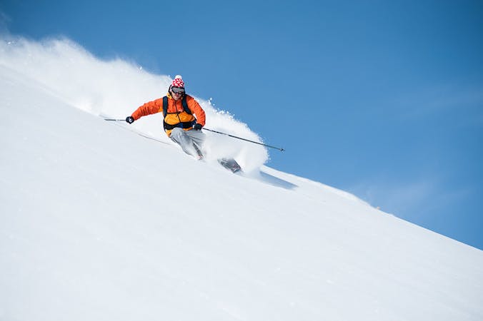
A steep and often deep run for experienced skiers
Severe Freeride Skiing
- Distance
- 568 m
- Ascent
- 2 m
- Descent
- 190 m

A short hike accesses a large bowl for some great off piste
Freeride Skiing Difficult

After getting off the Schiltgrat chairlift take your skis off and be prepared for a short (5-10 minute) hike. Climb further up the Schiltgrat ridge behind the top station (A sign saying danger of avalanches shows you where to go). The path is normally obvious and well worn as this is an often skied freeride option. The walk is somewhat challenging as there is a chance of falling either side of the narrow ridge line. When you reach the highest point there is a very narrow flat place to put your skis on. Careful side slipping is required to enter the large Blumental bowl. From there you have the pick of a number of lines. If you drop in immediately you access the steepest pitch which gives 400 metres of consistent powder turns but bushes can be an issue. After a few skiers have done this route a traversing path starts to form going further and further across the bowl allowing you to drop in wherever you see untracked powder, also giving a longer (c.600 metres) if slightly less steep descent. The slope gently flattens out before rejoining the Hindenburg piste, so straight lining the last bit is advisable to rejoin the run without poling. There is risk of avalanche from above so caution after heavy snowfall is advised, especially the further into the bowl you traverse. This is a great off-piste option and well worth the short hike especially following new snow as many are put off by the walk, meaning fresh tracks are easy to come by.
Difficult
Serious gradient of 30-38 degrees where a real risk of slipping exists.
129 m away

A steep and often deep run for experienced skiers
Severe Freeride Skiing
577 m away

Good undulating terrain, ideal for first forays off piste
Moderate Freeride Skiing
1.2 km away

A steep narrow couloir that is not for the faint hearted
Severe Freeride Skiing
1.2 km away

A steep snow field with often very deep powder
Moderate Freeride Skiing
1.4 km away

Some of the best off piste turns in the area
Moderate Freeride Skiing
1.5 km away

Short and descent that holds good snow
Moderate Freeride Skiing
1.5 km away

A short, sharp, steep descent that can hold waist deep powder
Difficult Freeride Skiing
1.7 km away

Great off piste turns possible down either side of a ridge
Moderate Freeride Skiing
1.9 km away

A great starting point for going off piste
Easy Freeride Skiing
1.9 km away

An exciting descent down the line of the Winteregg chair for experienced skiers
Difficult Freeride Skiing

13 routes · Freeride Skiing