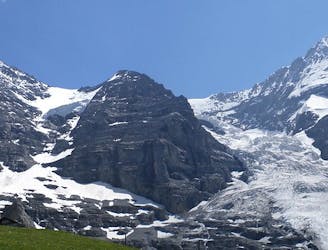
5.4 km away
Approach to Gleckstein Hut
A beautiful hut approach from the valley floor, one of the few nearby mountain huts where people do not take a ski lift first.
Difficult Hiking
- Distance
- 4.4 km
- Ascent
- 915 m
- Descent
- 82 m
A circular hike route with a wingsuit flight.
Hiking Difficult

This is a popular hiking route which is generally considered to be difficult. It's an unknown remoteness, it features unknown exposure and is typically done in an unknown time of year. From a low point of 1.2 km to the maximum altitude of 2.6 km, the route covers 28 km, 2081 vertical metres of ascent and 2081 vertical metres of descent.
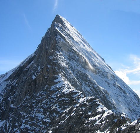
With only one car this is possibly the best route to jump this exit. You land on the other side of the mountain so have to walk back around the mountain
Difficult
Hiking trails where obstacles such as rocks or roots are prevalent. Some obstacles can require care to step over or around. At times, the trail can be worn and eroded. The grade of the trail is generally quite steep, and can often lead to strenuous hiking.
5.4 km away
A beautiful hut approach from the valley floor, one of the few nearby mountain huts where people do not take a ski lift first.
Difficult Hiking
6.9 km away
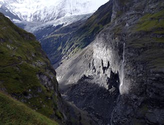
Featuring a waterfall made famous by Sherlock Holmes.
Moderate Hiking
8.8 km away
A long but very beautiful approach to a remote hut
Difficult Hiking
9.6 km away
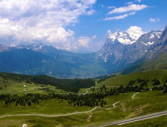
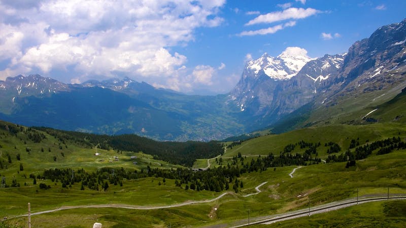
The highlight of this 21km section is the climb up the Kleine Scheidegg where you get glorious views over the Eiger, Mönch and Jungfrau.
Difficult Hiking

15 routes · Hiking
3 routes · Hiking
8 routes · Alpine Climbing · Hiking

10 routes · Alpine Climbing · Hiking