85 m away
Jakobshorn S

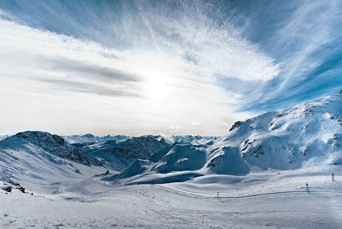
Rocky steep couloirs at Jakobshorn S face
Severe Freeride Skiing
- Distance
- 508 m
- Ascent
- 0 m
- Descent
- 221 m
Alpine Couloirs with easy access
Freeride Skiing Severe

This route is unmarked but easy to locate. High skiing and mountaineering experience is recommended. The access is very easy, in front of Gügglebahn there is a picnic area, from there the NE ridge of Jackobshorn is very wide and safe to hike. On top there are a few antennas and a weather station. Once there the first couloir drops in on the right with a 40º gradient between some rocky terrain which leads to a wide, steep slope into the bowl. You want to keep left and don't get into the middle of the bowl. Take particular care in the couloir and on the traverse to the right- it's an exposed section. After this first part wide terrain opens up for very good riding leading to the forest. Once in the trees you will find a narrow couloir with some drops on the way down. They can be avoided if you don't fancy them. From there you should see some the roads, farms, the cross-country skiing trail and the stream. Go left at the bottom where you should find a bridge to cross the stream, and walk up to the road where is a bus stop.
Severe
Steep skiing at 38-45 degrees. This requires very good technique and the risk of falling has serious consequences.

As well as the slope itself, there are some obstacles (such as rock outcrops) which could aggravate injury.

In the high mountains or remote conditions, all individuals must be completely autonomous in every situation.
85 m away
Rocky steep couloirs at Jakobshorn S face
Severe Freeride Skiing
442 m away

Popular off piste in the resort boundaries
Easy Freeride Skiing
674 m away

Gentle wide freeride with stunning views.
Moderate Freeride Skiing
922 m away

Accessible easy off piste zone
Difficult Freeride Skiing
931 m away

Popular off piste for intermediate riders
Severe Freeride Skiing
1.1 km away

Extreme freeride area for experienced riders
Severe Freeride Skiing
1.5 km away

Easy and safe slope through the forest
Difficult Freeride Skiing
2 km away

Backcountry route for experienced riders
Severe Freeride Skiing
2.6 km away

Techy pillow line through the forest
Difficult Freeride Skiing
3.9 km away

Classic backcountry into Sertig valley
Difficult Freeride Skiing
14 routes · Freeride Skiing