944 m away
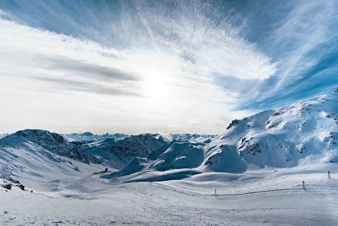
Jatzhorn NE face

Extreme freeride area for experienced riders
Severe Freeride Skiing
- Distance
- 1.6 km
- Ascent
- 0 m
- Descent
- 818 m
Backcountry route for experienced riders
Freeride Skiing Severe

The route starts with a long traverse around or below Stadler See- you can go as far as you want on that traverse. Skins for skis or splitboard with skins are recommended. The skin will take between 30 to 60 minutes depending where you want to start. Snowshoes can be another option for snowboarders but definitely it will take longer. The beginning is exposed to the West face of Jatzhorn but soon opens up to a wide area towards Tällifurgga peak. Once at the top, face towards Teufi valley. At the beginning you have a dangerous bowl to drop in first. A good way to sort this out is ride it on top of the right ridge to get to the pass below. If you stick to the right there are some steep lines you could ride as well. Once this sorted the way down is pretty easy to follow there is a big ridge on your left coming up from the peak just follow its direction, which will go slightly to your right. It is a long ride down on good rolling terrain. Once you see the tree line you have two choices- there is a creek on your right just after the big right ridge ends which will lead you far down on Teufi Valley, but safely. The other option is ride down the creek just in front or ride the forest if there is good snow cover. Once at the bottom there are some farms and a bridge to cross the stream just below. Go back to Teufi Restaurant following the road to get the bus back to the Village.
Severe
Steep skiing at 38-45 degrees. This requires very good technique and the risk of falling has serious consequences.

As well as the slope itself, there are some obstacles (such as rock outcrops) which could aggravate injury.

In the high mountains or remote conditions, all individuals must be completely autonomous in every situation.
944 m away
Extreme freeride area for experienced riders
Severe Freeride Skiing
1.5 km away

Gentle wide freeride with stunning views.
Moderate Freeride Skiing
2 km away

Popular off piste in the resort boundaries
Easy Freeride Skiing
2 km away

Alpine Couloirs with easy access
Severe Freeride Skiing
2 km away

Rocky steep couloirs at Jakobshorn S face
Severe Freeride Skiing
2.8 km away

Accessible easy off piste zone
Difficult Freeride Skiing
2.8 km away

Popular off piste for intermediate riders
Severe Freeride Skiing
3.4 km away

Easy and safe slope through the forest
Difficult Freeride Skiing
4.1 km away

Classic backcountry into Sertig valley
Difficult Freeride Skiing
4.4 km away

Long backcountry experience to Sertig Valley
Difficult Freeride Skiing
14 routes · Freeride Skiing