212 m away
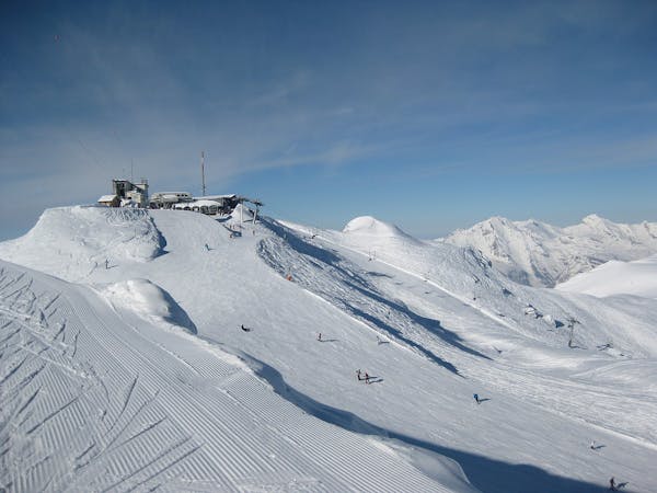
Attelas - Number One

The widest and least steep of the Attelas couloirs
Severe Freeride Skiing
- Distance
- 1 km
- Ascent
- 0 m
- Descent
- 524 m
Some steeper options from the classic James Blunt
Freeride Skiing Severe

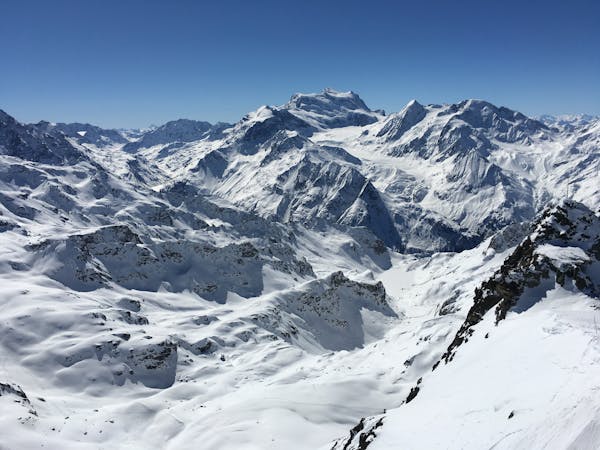
This is a popular freeride skiing route which is generally considered to be severe. It's remote, it features medium exposure (e2) and is typically done in an unknown time of year. From a low point of 2 km to the maximum altitude of 2.5 km, the route covers 904 m, 0 vertical metres of ascent and 465 vertical metres of descent.
Two slightly steeper options from the classic James Blunt line under the Attelas chair lift with a bit more skiing to join the Etierces or other pistes down to Carrefour. From the narrowest point in the gully, head diagnonally right to join two narrow lines between the rocks.
Severe
Steep skiing at 38-45 degrees. This requires very good technique and the risk of falling has serious consequences.

As well as the slope itself, there are some obstacles (such as rock outcrops) which could aggravate injury.
Away from help but easily accessed.
212 m away
The widest and least steep of the Attelas couloirs
Severe Freeride Skiing
511 m away

The most serious of the Attelas couloirs
Extreme Freeride Skiing
551 m away

The classic Attelas couloir - experts only
Extreme Freeride Skiing
599 m away

An introduction to the classic Attelas couloir skiing
Difficult Freeride Skiing
694 m away

A short cut through off-piste terrain
Difficult Freeride Skiing
724 m away

A secret spot that's not so secret anymore but still a classic. One of the Attelas couloirs offering easily accessible adventure and steep skiing but not to be underestimated.
Severe Freeride Skiing
1.1 km away

Another steep Mont-Gele classic couloir
Severe Freeride Skiing
1.1 km away

An enjoyable line down the west facing couloir from the top of Mont Gele
Difficult Freeride Skiing
1.1 km away

A direct line down the south face of Mont Gele
Difficult Freeride Skiing
1.1 km away

A marked itinerary towards the Cabane de Mont-Fort
Moderate Freeride Skiing
50 routes · Freeride Skiing
7 routes · Freeride Skiing · Ski Touring