49 m away
Attelas - Rock and Roll

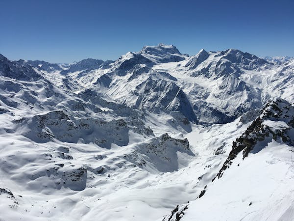
The classic Attelas couloir - experts only
Extreme Freeride Skiing
- Distance
- 562 m
- Ascent
- 0 m
- Descent
- 381 m
An introduction to the classic Attelas couloir skiing
Freeride Skiing Difficult

An introduction to the classic Attelas couloirs. Easily accessible adventure and steep skiing. From Les Attelas follow the ridge NNW to the Col du Creblet (take care accessing the col - see the line on the map - at first skiers right of the ridge, crossing over skiers left, and then skiers right again to reach the col). There are two ski routes marked on the map. The main line from the Col du Creblet descends the main SW Facing couloir. The couloir is fairly wide and opens out in to the main slope. There is a steeper (more serious) variant marked which takes a more W facing couloir from the ridge before you reach the Col du Creblet. When the couloir starts to open out you have two options. Either head straight down the fall line to join the blue Etierces piste / continue down to Carrefour or traverse right at the end of the couloir to cross the ridge to the slopes directly below Mont Rogneux - known as "Le saut du Hans". Warning: Avalanche risk, particularly during the diagonal traverse and on the slopes of the Mont Rogneux.
Difficult
Serious gradient of 30-38 degrees where a real risk of slipping exists.

As well as the slope itself, there are some obstacles (such as rock outcrops) which could aggravate injury.
Away from help but easily accessed.
49 m away
The classic Attelas couloir - experts only
Extreme Freeride Skiing
89 m away

The most serious of the Attelas couloirs
Extreme Freeride Skiing
180 m away

A secret spot that's not so secret anymore but still a classic. One of the Attelas couloirs offering easily accessible adventure and steep skiing but not to be underestimated.
Severe Freeride Skiing
368 m away

A short cut through off-piste terrain
Difficult Freeride Skiing
388 m away

The widest and least steep of the Attelas couloirs
Severe Freeride Skiing
599 m away

Some steeper options from the classic James Blunt
Severe Freeride Skiing
924 m away

The main north facing couloirs from the top of Mont Gele
Severe Freeride Skiing
930 m away

Another steep Mont-Gele classic couloir
Severe Freeride Skiing
931 m away

An enjoyable line down the west facing couloir from the top of Mont Gele
Difficult Freeride Skiing
946 m away

Steep north facing couloirs from Mont Gele towards the Lac des Vaux
Difficult Freeride Skiing
50 routes · Freeride Skiing