297 m away
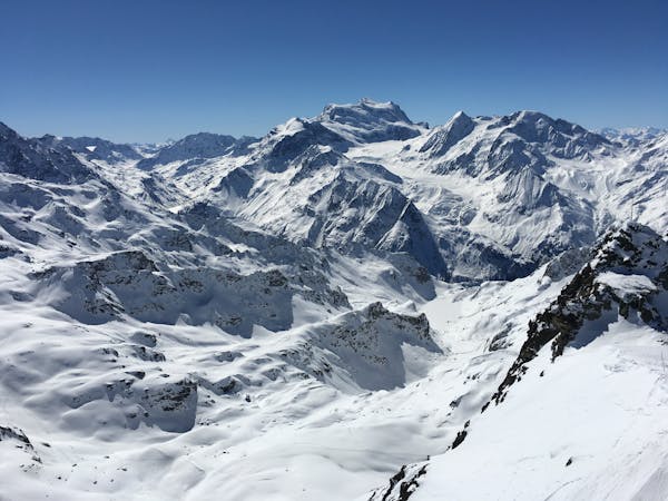
Gentianes - Mont-Fort Couloir

A steep and enjoyable South facing couloir
Severe Freeride Skiing
- Distance
- 1.1 km
- Ascent
- 68 m
- Descent
- 502 m

A Verbier classic for those who don't / won't / can't walk and want a steeper more direct line. From the Col de Gentaines take a high traverse a continue traversing to the North, past the climb up to Stairway. Go left of the Pylon and locate the entrance to the line, left of the small summit. Ski the fall line down the steep slope and then head right to rejoin the itinerary run back to Tortin.
Severe
Steep skiing at 38-45 degrees. This requires very good technique and the risk of falling has serious consequences.

Exposure is limited to that of the slope itself. Getting hurt is still likely if the slope is steep and/or the snow is hard.

Away from help but easily accessed.
297 m away
A steep and enjoyable South facing couloir
Severe Freeride Skiing
398 m away

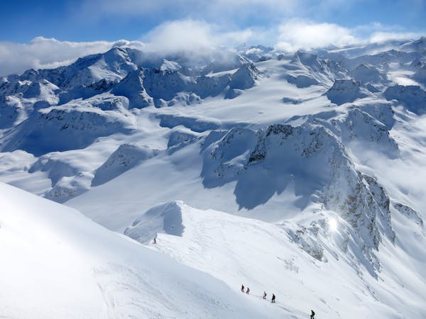
A Verbier Mega-Classic that rewards those prepared to do a little boot packing
Difficult Freeride Skiing
399 m away

Easy access to a nice pitch of skiing
Difficult Freeride Skiing
1 km away

The winning combination of a short ski skin up to a long run down a secluded open bowl
Difficult Freeride Skiing
1.1 km away

Excellent steep couloir skiing above the Lac de Cleuson
Extreme Freeride Skiing
1.1 km away

A classic bowl easily accessible from the Gentianes - La Chaux red piste.
Difficult Freeride Skiing
1.2 km away

A short skin gives access to the Col Ferret and various routes which start here
Moderate Freeride Skiing
1.6 km away

A narrow isolated couloir that gradually widens out in to the main Tortin valley
Severe Freeride Skiing
1.6 km away

Gnarly with a capital G. Perhaps second only to the Bec des Rosses for extreme lines.
Extreme Freeride Skiing
1.7 km away

An easy descent to re-join the pistes of Verbier from the Col de la Chaux.
Moderate Freeride Skiing
50 routes · Freeride Skiing
10 routes · Freeride Skiing