580 m away
Canadian Trees - Tsai

Fantastic, fun tree skiing through the larch forest
Moderate Freeride Skiing
- Distance
- 2.7 km
- Ascent
- 21 m
- Descent
- 585 m
Amazing steep powder run
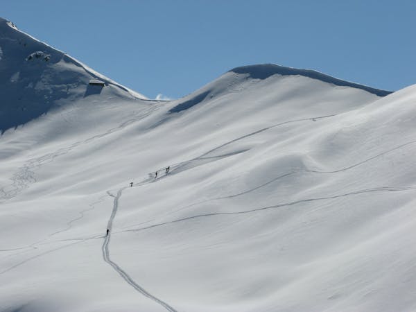
Freeride Skiing Difficult

This is a popular freeride skiing route which is generally considered to be difficult. It's not remote, it features medium exposure (e2) and is typically done in February and April. From a low point of 2.1 km to the maximum altitude of 2.4 km, the route covers 834 m, 1 vertical metres of ascent and 317 vertical metres of descent. It's graded 2.2 and Labande grade 4.

A short walk to the top followed by a north face run which always has decent snow. The descent is short but steep without being too difficult.
Difficult
Serious gradient of 30-38 degrees where a real risk of slipping exists.

As well as the slope itself, there are some obstacles (such as rock outcrops) which could aggravate injury.

Close to help in case of emergency.
580 m away
Fantastic, fun tree skiing through the larch forest
Moderate Freeride Skiing
918 m away

More excellent tree skiing close to the lifts and pistes.
Moderate Freeride Skiing
1.4 km away

Excellent tree skiing close to the pistes.
Moderate Freeride Skiing
8 km away

A long run down to Le Chable through the forest and villages, this route needs good snow cover.
Difficult Freeride Skiing
8.1 km away

A long run down to Le Chable through the forest and villages but needs good snow cover.
Difficult Freeride Skiing
8.9 km away

Some steeper options from the classic James Blunt
Severe Freeride Skiing
9.1 km away

The widest and least steep of the Attelas couloirs
Severe Freeride Skiing
9.3 km away

A steeper line skiers right of the Tournelle
Difficult Freeride Skiing
9.4 km away

The most serious of the Attelas couloirs
Extreme Freeride Skiing
9.4 km away

The classic Attelas couloir - experts only
Extreme Freeride Skiing
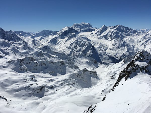
50 routes · Freeride Skiing
3 routes · Freeride Skiing