1.3 km away
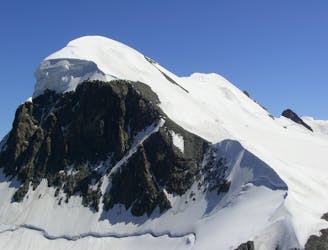
Furggen ridge

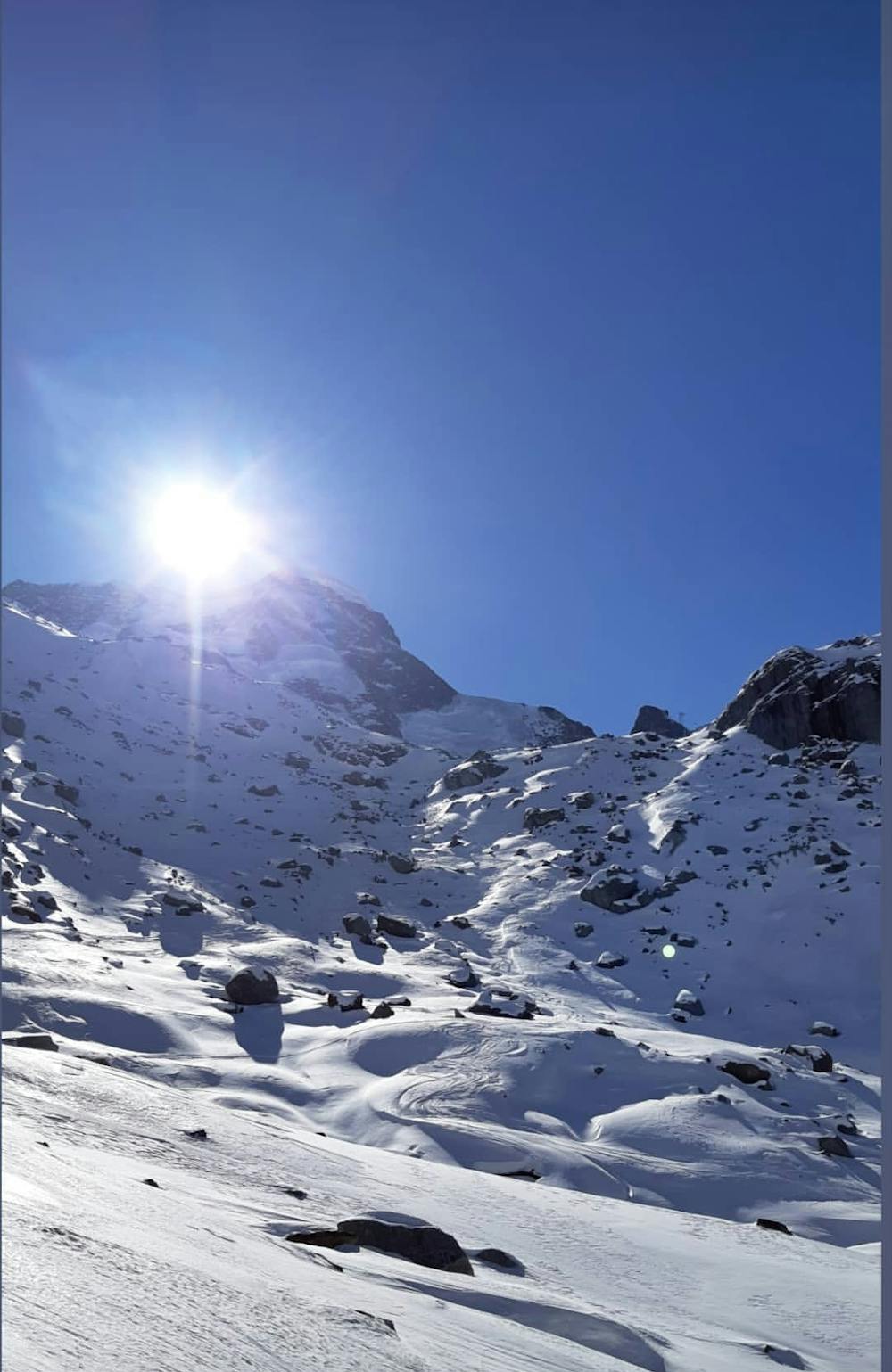
A nice freeride line that requires a short hike but you'll be well rewarded by the breathtaking landscape
Difficult Freeride Skiing
- Distance
- 1.7 km
- Ascent
- 98 m
- Descent
- 377 m
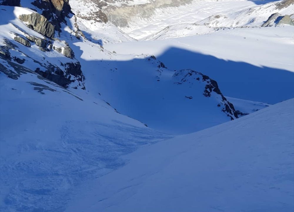
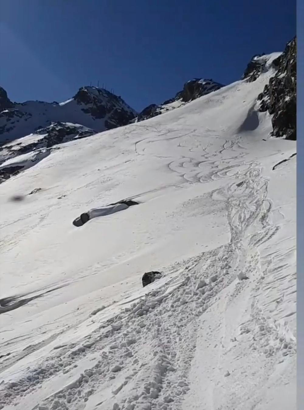
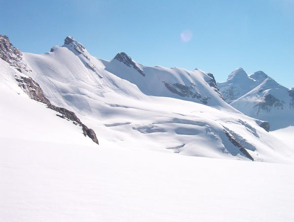
Rocks, ice 'n' landscape
Freeride Skiing Moderate

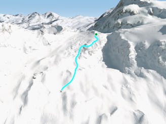
This is a popular freeride skiing route which is generally considered to be moderate. It's remote, it features low exposure (e1) and is typically done between November and April. From a low point of 1.9 km to the maximum altitude of 3.1 km, the route covers 7.3 km, 155 vertical metres of ascent and 1284 vertical metres of descent. It's graded 4.1 and Labande grade 3.
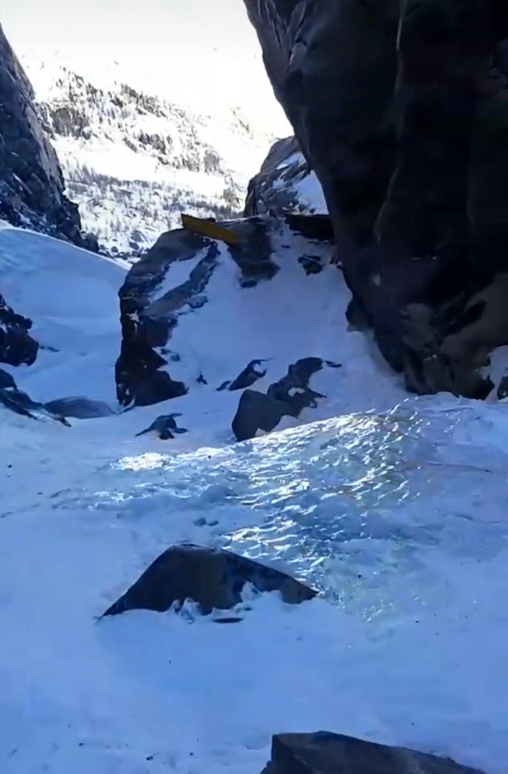
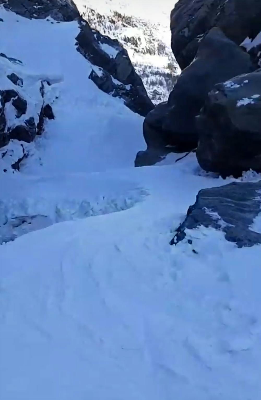
Fun freeride line through rocks and coloirs with amazing views
Moderate
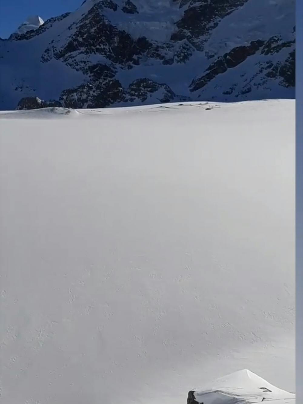
Slopes become slightly steeper at around 25-30 degrees.

Exposure is limited to that of the slope itself. Getting hurt is still likely if the slope is steep and/or the snow is hard.

Away from help but easily accessed.
1.3 km away
A nice freeride line that requires a short hike but you'll be well rewarded by the breathtaking landscape
Difficult Freeride Skiing
1.6 km away
A classic ride between Theodulo and Bontadini runs. Sunny and wide.
Easy Freeride Skiing
1.7 km away

The very classic Teodulo freeride slope is one of the most known and haunted off-piste run.
Severe Freeride Skiing
1.7 km away

From the drop in, follow the upper left line as close as possible to the Theodul. The is the classic old line which is for experienced riders only!
Severe Freeride Skiing
2.2 km away

Steep powder under the serac
Extreme Freeride Skiing
2.3 km away

A steep and playful run leading you down to the glacier below.
Difficult Freeride Skiing
2.5 km away
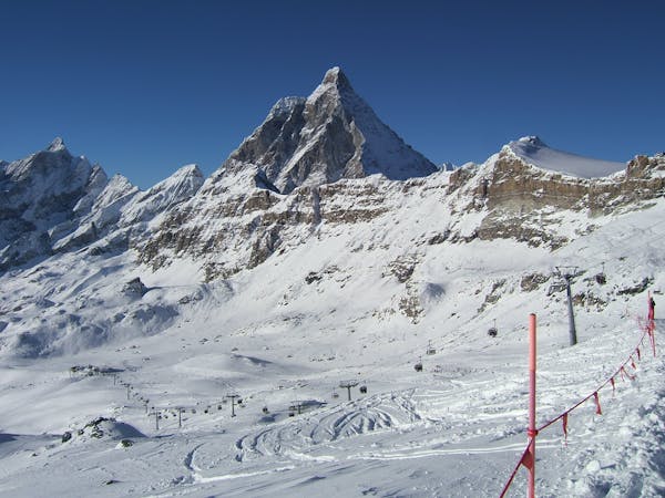
An amazing mountain journey through complex glaciers with stunning views of the Matterhorn
Difficult Freeride Skiing
2.5 km away

A classic line starting from Plateau Rosa and going towards the very center of the resort. For advanced and experienced skiers.
Severe Freeride Skiing
2.5 km away

Another great classic, it's the more challenging line of Carlo off-piste route. For expert riders.
Severe Freeride Skiing
2.8 km away

A very classic ride below Plateau Rosa for intermediate to expert riders
Difficult Freeride Skiing
20 routes · Freeride Skiing
10 routes · Freeride Skiing