2.4 km away
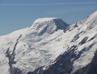
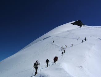
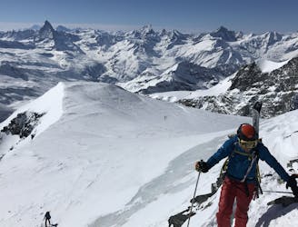
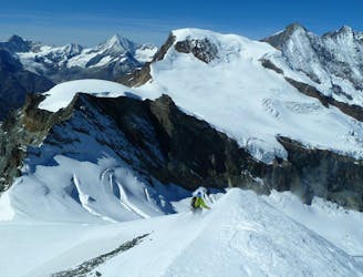
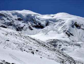
Swiss 4000ers: Wiessmies, 4017m alternative route from the S
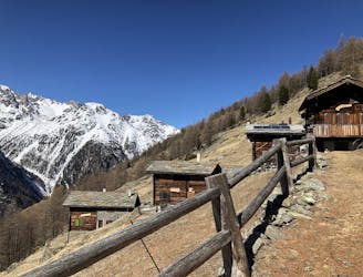
Traversing this fine and isolated mountain from a beautiful and remote, unguarded mountain hut provides an aesthetic and excellent day.
Difficult Ski Touring
- Distance
- 8.8 km
- Ascent
- 2.4 km
- Descent
- 45 m