8 m away
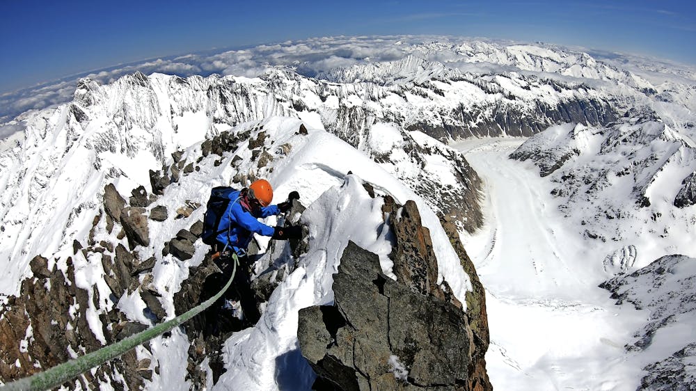
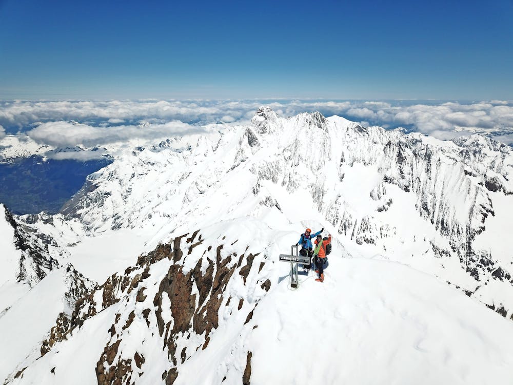
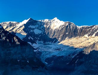
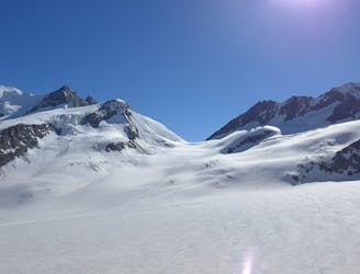
Bernese Oberland 4000m Peak Tour: The Finsteraarhorn
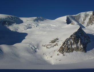
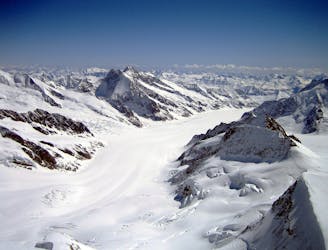
Day 3: The largest summit in the Bernese Oberland and the 15th highest major 4000m peak in the Alps.
Difficult Ski Touring
- Distance
- 5.9 km
- Ascent
- 1.3 km
- Descent
- 1.3 km
Climb Finsteraarhorn (4,274 meters)
Ski Touring Difficult

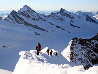
Program: `Today is summit day! Early in the morning, we will climb up to the Hugisattel with our skis. Using crampons, we will make our way over the impressive ridge up to the summit with its amazing panoramic view. We will follow the same route back to the hut. (Distance: 3 km. Hiking time: 7 hours; Ascent/Descent: 1,230/1,230 vertical meters)' - (https://www.mammutalpineschool.com/en/skihochtour-finsteraarhorn-4274-m-und-gruenegghorn-3787-m/)
Difficult
Serious gradient of 30-38 degrees where a real risk of slipping exists.

In case of a fall, death is highly likely.

Away from help but easily accessed.
8 m away
Day 3: The largest summit in the Bernese Oberland and the 15th highest major 4000m peak in the Alps.
Difficult Ski Touring
12 m away
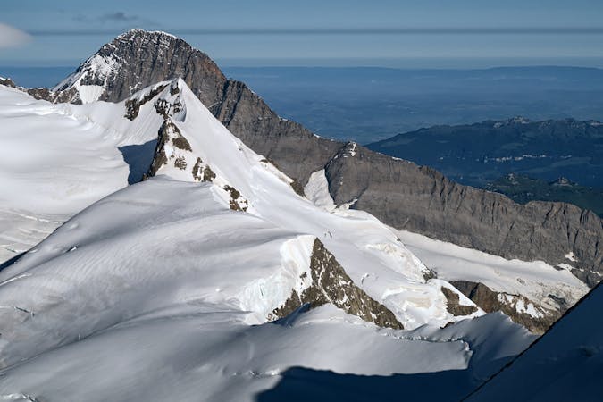
Day 4: This is a long distance journey to relocate to beneath the Aletschhorn. NOTE THE OLD BIVI HUT HERE WAS COMPLETELY DESTROYED BY AVALANCHE JAN '19 SO THERE IS NO HUT ANY MORE
Moderate Ski Touring
19 m away
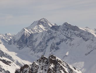
Day 3: A high summit, returning to the same hut. The Gross Wannenhorn, 3906m.
Difficult Ski Touring
37 m away
Day 2: Two summits of 4000m that can easily be combined in a single outing.
Difficult Ski Touring
51 m away
Day 4: Over the Grunhornlucke, a short descent then ascent of Trugberg, 3880m
Difficult Ski Touring
5.3 km away
Day 5: Traverse of Kranzberg, 3666m, followed by ascent to the Hollandia Hut, 3235m
Severe Ski Touring
5.3 km away
Day 2: Over a pass, descending the far side before reascent to the Wysnollen, 3590m
Moderate Ski Touring
9.4 km away
Day 5: The easiest, though not easy, route to one of the remotest and most coveted 4000m peaks in the Alps. NOTE: THE MITTELALETSCHBIWAK IS NOW A RUIN. It was destroyed by an avalanche in 2019.
Severe Ski Touring
5 routes · Ski Touring

16 routes · Ski Touring