9 m away
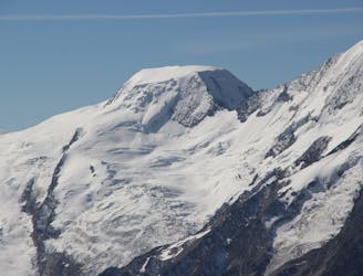
Swiss 4000ers: Strahlhorn, 4190m.
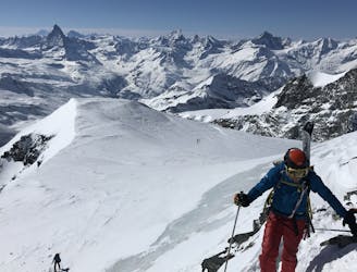
A long journey to a watershed peak between the Saas and Zermatt valleys, with a nearly 3000m descent to finish!
Difficult Ski Touring
- Distance
- 22 km
- Ascent
- 1.3 km
- Descent
- 2.6 km
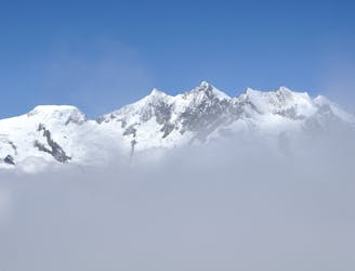
Day 2 of the 5 day ski tour climbing the highest peaks in the Monte Rosa area.
Ski Touring Severe

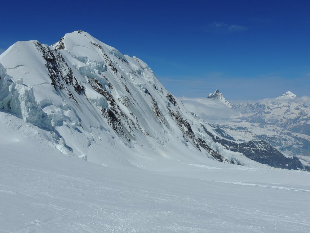
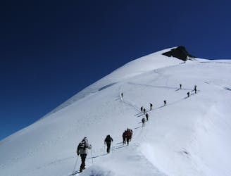
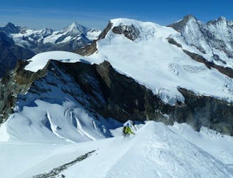
Program: 'Setting out early in the morning, you will ski down directly from the hut to the Hohlaub Glacier and onto the Allalin Glacier. You will make your way over this glacier to the Allalin Pass and then head west around the Rimpfischhorn. Following the south ridge (easy climbing), you will then climb from the ski deposit point up to the summit at 4,198 meters before skiing back down over the Allalin Pass to around 200 vertical meters below the hut. (Distance: 8 km. Hiking time: 4 hours. Ascent: 1,300 vertical meters).' (https://www.mammutalpineschool.com/en/skihochtour-dufourspitze-4634-m/?cache-refresh=1)
Severe
Steep skiing at 38-45 degrees. This requires very good technique and the risk of falling has serious consequences.

In case of a fall, the skier faces certain death.

Little chance of being seen or helped in case of an accident.
9 m away
A long journey to a watershed peak between the Saas and Zermatt valleys, with a nearly 3000m descent to finish!
Difficult Ski Touring
1.1 km away
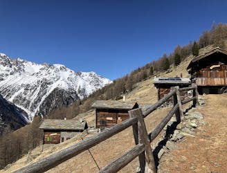
A shorter day to yet another fine summit, allowing you lighter packs as you will be returning to the same hut.
Moderate Ski Touring
3.2 km away
One of the easier 4000m peaks in the Alps
Moderate Ski Touring
4 km away
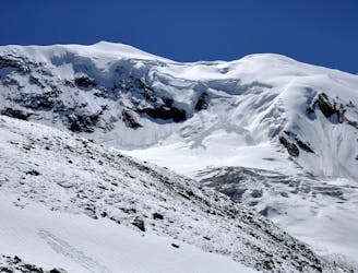
A long but relatively steady ascent up a big remote glacial peak, with great views of the giant Weisshorn nearby.
Severe Ski Touring
4.2 km away
A couple of cols and N facing descents
Difficult Ski Touring
4.5 km away
Traversing this fine and isolated mountain from a beautiful and remote, unguarded mountain hut provides an aesthetic and excellent day.
Difficult Ski Touring
9.7 km away
A complicated and isolated glacial peak with amazing views.
Severe Ski Touring

50 routes · Freeride Skiing · Ski Touring

6 routes · Ski Touring
16 routes · Ski Touring