42 m away
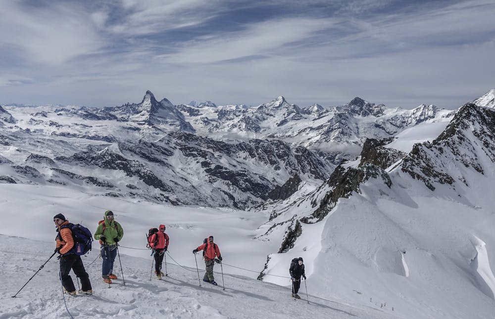
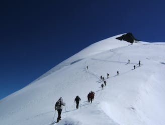
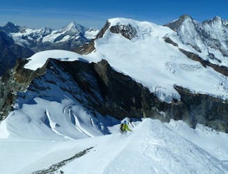
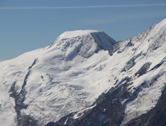
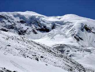
Swiss 4000ers: Strahlhorn, 4190m.
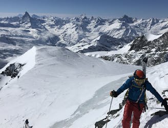
A long journey to a watershed peak between the Saas and Zermatt valleys, with a nearly 3000m descent to finish!
Difficult Ski Touring
- Distance
- 22 km
- Ascent
- 1.3 km
- Descent
- 2.6 km
Climb Mount Strahlhorn (4,190m)
Ski Touring Difficult

Program: A short descent to the Allalin Glacier and a climb past Fluchthorn and Rimpfishhorn to Strahlhorn 4,190 m. Your efforts will then be rewarded by an incredible, long descent over the Adler and Findelen Glaciers down into the busy mountaineering town of Zermatt. (Distance: 7. 5 km; Duration: 4.5 hours; Ascent: 1,300 vertical meters).
Difficult
Serious gradient of 30-38 degrees where a real risk of slipping exists.

Little chance of being seen or helped in case of an accident.
42 m away
A long journey to a watershed peak between the Saas and Zermatt valleys, with a nearly 3000m descent to finish!
Difficult Ski Touring
1.1 km away
A shorter day to yet another fine summit, allowing you lighter packs as you will be returning to the same hut.
Moderate Ski Touring
3.3 km away
One of the easier 4000m peaks in the Alps
Moderate Ski Touring
4 km away
A long but relatively steady ascent up a big remote glacial peak, with great views of the giant Weisshorn nearby.
Severe Ski Touring
4.2 km away
A couple of cols and N facing descents
Difficult Ski Touring
4.5 km away
Traversing this fine and isolated mountain from a beautiful and remote, unguarded mountain hut provides an aesthetic and excellent day.
Difficult Ski Touring
9.7 km away
A complicated and isolated glacial peak with amazing views.
Severe Ski Touring

50 routes · Freeride Skiing · Ski Touring

6 routes · Ski Touring
16 routes · Ski Touring