FATMAP by Strava

Mammut fünf 4000er im Wallis

Saas Fee

The Mischabel Range

Zermatt - Breuil-Cervinia

FIVE 4,000-METER PEAKS VALAIS

Ski Touring Difficult

Distance
96 km
Ascent
11 km
Descent
11 km
Duration
1 day +
Low Point
1.6 km
High Point
4.5 km
Gradient
28˚
Mammut fünf 4000er im Wallis Map

Description

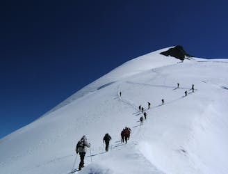
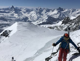
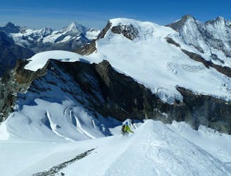
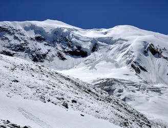
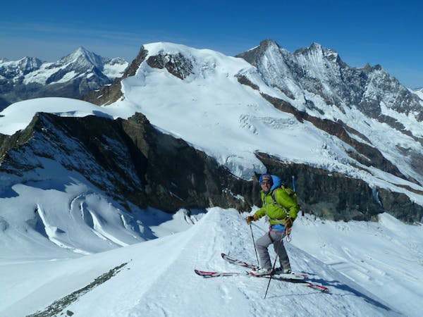
Each day, you will climb a different 4,000-meter peak, from Allalinhorn 4,027 m to Alphubel 4,206 m, Strahlhorn 4,190m und Breithorn 4,164 m to Signalkuppe 4,556 m. - A guided ski tour from Mammut Alpine School. Find out more here:

https://www.mammutalpineschool.com/en/skihochtour-fuenf-4000er-im-wallis/

Difficulty

Difficult

Serious gradient of 30-38 degrees where a real risk of slipping exists.

Remoteness

2 out of 4

Away from help but easily accessed.

Best time to visit

between September and February

Features

  • Alpine
  • Couloir
  • Ski Mountaineering

Equipment required

  • Rope
  • Skins
  • Ice axe
  • Crampons
  • Glacier kit

Similar routes nearby

Guidebooks in this area