108 m away
Bernese Oberland Tour: Konkordia Hut to Finsteraarhorn Hut
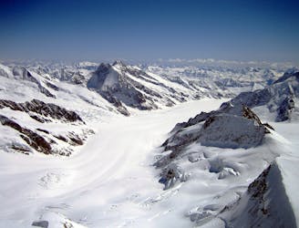
Day 2: Over a pass, descending the far side before reascent to the Wysnollen, 3590m
Moderate Ski Touring
- Distance
- 11 km
- Ascent
- 1.4 km
- Descent
- 1.1 km
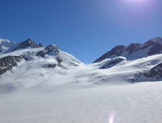
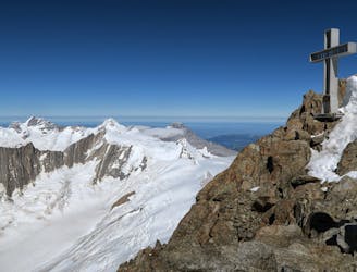
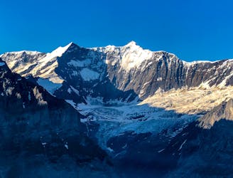
Konkordiahütte - Fiescherhörner - Finsteraarhornhütte
Ski Touring Difficult

This is a popular ski touring route which is generally considered to be difficult. It's remote, it features medium exposure (e2) and is typically done between March and April. From a low point of 2.7 km to the maximum altitude of 4 km, the route covers 17 km, 1773 vertical metres of ascent and 1566 vertical metres of descent. You'll need skins and glacier kit to complete it safely.
Tourenbericht: https://www.suedtirolalpin.com/kurztrips/berner-oberland
www.suedtirolalpin.com
Difficult
Serious gradient of 30-38 degrees where a real risk of slipping exists.

As well as the slope itself, there are some obstacles (such as rock outcrops) which could aggravate injury.
Away from help but easily accessed.
108 m away
Day 2: Over a pass, descending the far side before reascent to the Wysnollen, 3590m
Moderate Ski Touring
141 m away
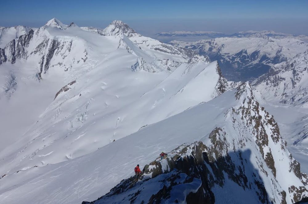
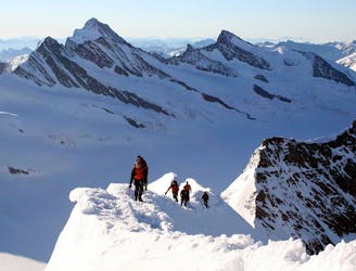
Day 5: Traverse of Kranzberg, 3666m, followed by ascent to the Hollandia Hut, 3235m
Severe Ski Touring
4.5 km away
Day 5: The easiest, though not easy, route to one of the remotest and most coveted 4000m peaks in the Alps. NOTE: THE MITTELALETSCHBIWAK IS NOW A RUIN. It was destroyed by an avalanche in 2019.
Severe Ski Touring
5.3 km away
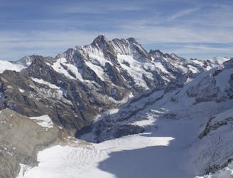
Day 3: The largest summit in the Bernese Oberland and the 15th highest major 4000m peak in the Alps.
Difficult Ski Touring
5.3 km away
Day 4: This is a long distance journey to relocate to beneath the Aletschhorn. NOTE THE OLD BIVI HUT HERE WAS COMPLETELY DESTROYED BY AVALANCHE JAN '19 SO THERE IS NO HUT ANY MORE
Moderate Ski Touring
5.3 km away
Day 4: Over the Grunhornlucke, a short descent then ascent of Trugberg, 3880m
Difficult Ski Touring
5.3 km away
Day 3: A high summit, returning to the same hut. The Gross Wannenhorn, 3906m.
Difficult Ski Touring
5.3 km away
Day 2: Two summits of 4000m that can easily be combined in a single outing.
Difficult Ski Touring
7.3 km away
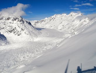
Day 1: A positioning day from the top of the Jungfraujoch train, easily down the glacier then a 500m skin over a pass at 3820m.
Moderate Ski Touring
7.3 km away
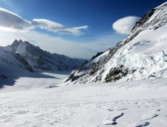
Day 1: The amazing Jungfraujoch railway accessing the biggest glaciated area in Europe and our first ski peak on the way to the hut.
Difficult Ski Touring
5 routes · Ski Touring

16 routes · Ski Touring