987 m away
La Fouly to St Bernard Hospice
The purists approach to linking La Fouly with the Valsorey Hut
Difficult Ski Touring
- Distance
- 11 km
- Ascent
- 1.3 km
- Descent
- 382 m
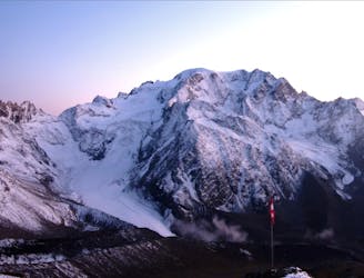
Tête de Ferret: Par la Dotse
Ski Touring Difficult

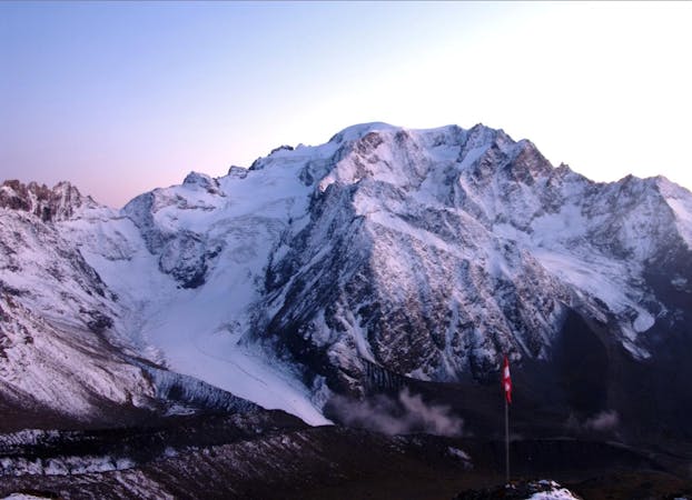
A peak on the border with Italy in the form of a truncated pyramid, which you see as soon as you enter Val Ferret. From the top you have a view to SE of the Italian Val Ferret and the Mont Blanc massif. Towards E there are Mont Vélan and Grand Combin, which invite to further tours.
Difficult
Serious gradient of 30-38 degrees where a real risk of slipping exists.

As well as the slope itself, there are some obstacles (such as rock outcrops) which could aggravate injury.
Away from help but easily accessed.
987 m away
The purists approach to linking La Fouly with the Valsorey Hut
Difficult Ski Touring
6.2 km away
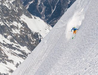
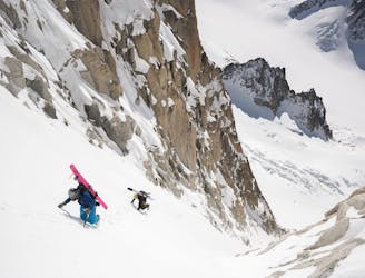
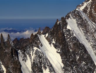
One of the Alps most elegantly exposed steep lines, yet very skiable.
Extreme Ski Touring
6.8 km away
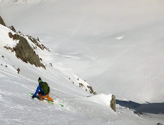
Often overlooked, but a fantasic steep line beneath the Aiguille Chenavier
Extreme Ski Touring
6.9 km away
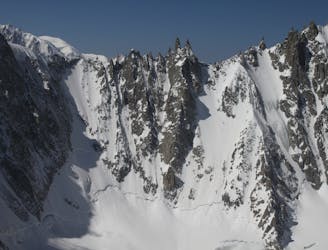
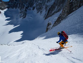
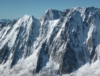
A truly inconic ski face, THE line of the Argentière Basin
Extreme Ski Touring
7.2 km away
A fantastic route which is surely on every steep skier's tick list
Extreme Ski Touring
7.3 km away
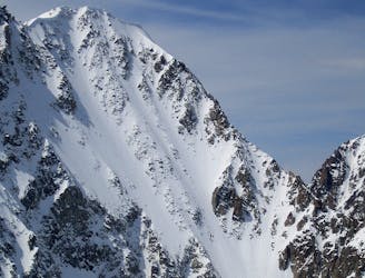
A beautiful wide and open steep ski face, one of the most popular of the Argentière Basin's celebrated North Faces. Shorter than the rest but steep and exposed in the upper half.
Extreme Ski Touring
7.4 km away
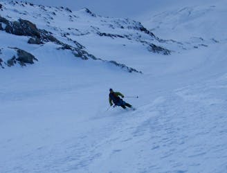
A great introduction to the steep north faces of the Argentière Basin.
Extreme Ski Touring
7.5 km away
One of the best steep faces in the area and a much sought after descent
Extreme Ski Touring
7.6 km away
An inspiring couloir past a bulging tongue of ice.
Extreme Ski Touring
7.8 km away
Yet another big 5.4 in the Argentiere Basin
Extreme Ski Touring

10 routes · Freeride Skiing · Ski Touring
7 routes · Ski Touring