6.8 km away
The Brack (787m)
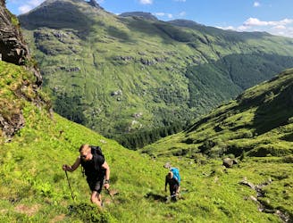
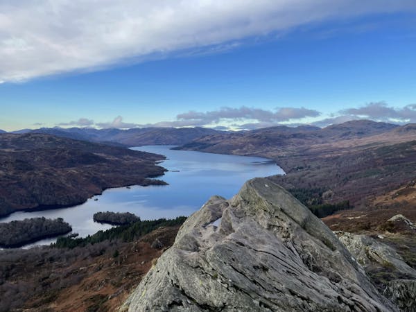
Simple and effective, without sacrificing the view!
Difficult Hiking
- Distance
- 3.7 km
- Ascent
- 755 m
- Descent
- 6 m
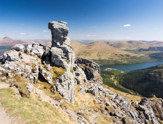
Stob Coire Creagach (Binnein an Fhidhleir)
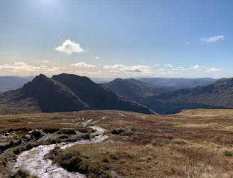
Hiking Moderate

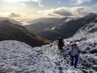
This is a popular hiking route which is generally considered to be moderate. It's not remote, it features medium exposure and is typically done between March and August. From a low point of 178 m to the maximum altitude of 811 m, the route covers 7 km, 849 vertical metres of ascent and 849 vertical metres of descent.
Stob Coire Creagach (Binnein an Fhidhleir)
Moderate
Hiking along trails with some uneven terrain and small hills. Small rocks and roots may be present.

The trail contains some obstacles such as outcroppings and rock which could cause injury.

Close to help in case of emergency.
6.8 km away
Simple and effective, without sacrificing the view!
Difficult Hiking
7.6 km away
A justly popular up one of Scotland's most recognisable mountains
Difficult Hiking
7.6 km away
A big day, a big car park fee and a big load of tourists, but beat that and you'll have fantastic hike on three local area classics!
Difficult Hiking
8.4 km away
Short and stubborn, a great hike nonetheless
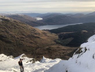
Difficult Hiking
8.4 km away
A relentless ascent but well worth it for this Loch Lomond classic!
Difficult Hiking
12 routes · Hiking