260 m away
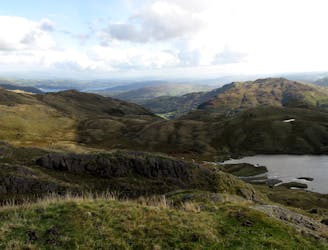
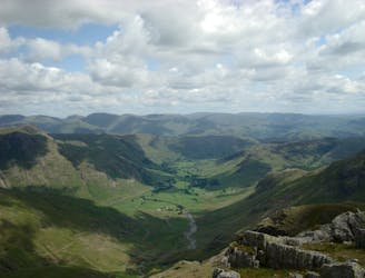
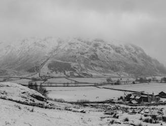
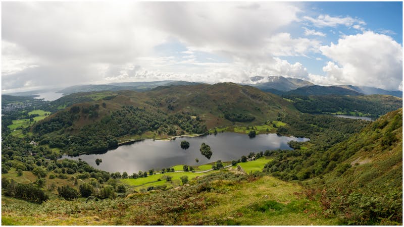
The Fairfield Horseshoe
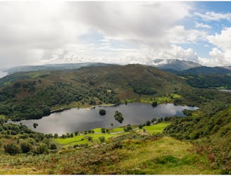
This celebrated round packs a lot into its ten and a half miles, giving easy striding and ever-improving vistas culminating on one of the best-loved peaks in Lakeland.
Difficult Hiking
- Distance
- 17 km
- Ascent
- 1 km
- Descent
- 1 km