FATMAP by Strava

Ambleside to Patterdale

Lake District National Park

Un-trodden in the heart of the Lakes

Hiking Difficult

Distance
14 km
Ascent
1 km
Descent
930 m
Duration
5-6 hrs
Low Point
49 m
High Point
867 m
Gradient
26˚
Ambleside to Patterdale Map

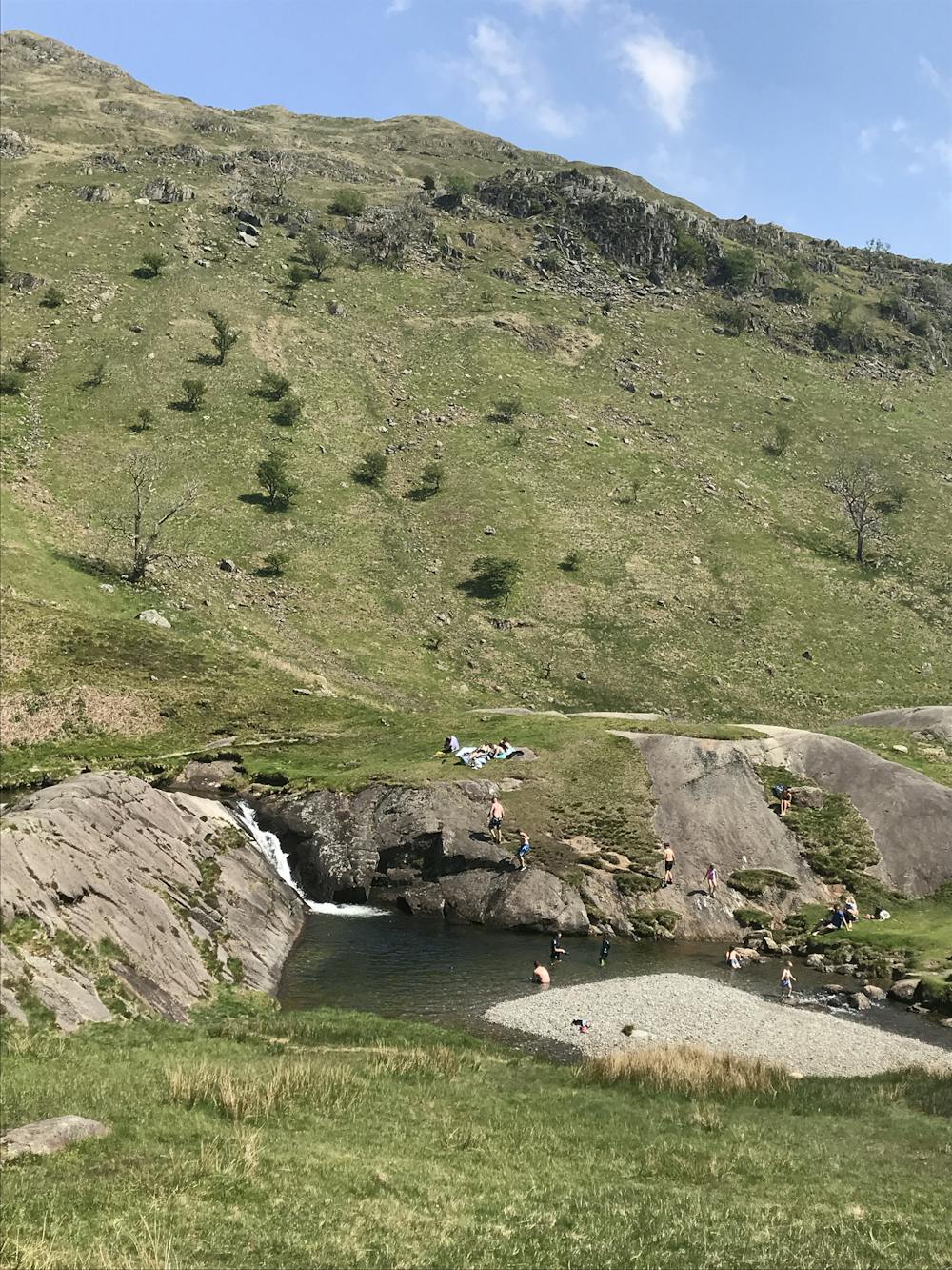
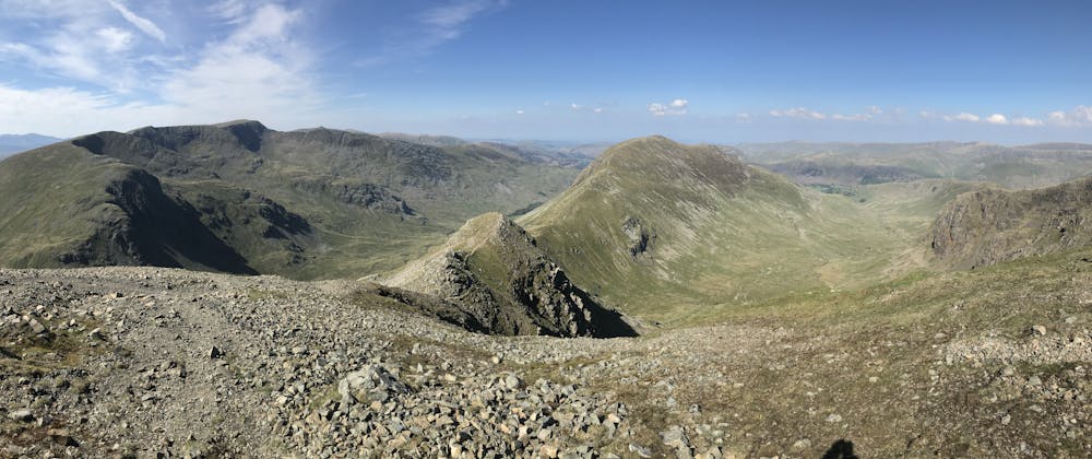
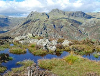
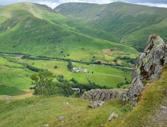
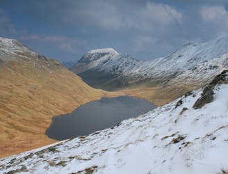
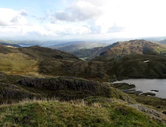
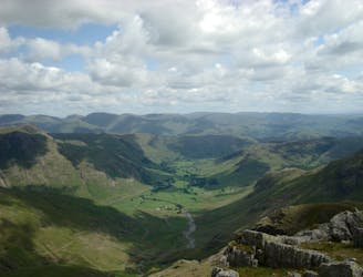
One of the most beautiful valleys in the Lakes, a stone throw from Ambleside, and yet almost totally un-trodden, with no paths to follow for much of the walk. A swim on route adds an extra bonus. Follow paths from Ambleside to Buckstone Jum and an excellent swim, then follow Rydal Beck on diminishing paths and total remoteness to the head of the valley. Take your pick of summits to head for and blast uphill to re-join main paths on the summits. Head over St Sunday for excellent views and rolling descents. To return to Ambleside, follow the road back to Brotherswater and head up and over Dove Crag, and head over the ridge passing High and Low Pike.

Difficulty

Difficult

Hiking trails where obstacles such as rocks or roots are prevalent. Some obstacles can require care to step over or around. At times, the trail can be worn and eroded. The grade of the trail is generally quite steep, and can often lead to strenuous hiking.

Medium Exposure

2 out of 4

The trail contains some obstacles such as outcroppings and rock which could cause injury.

Remoteness

2 out of 4

Away from help but easily accessed.

Best time to visit

between May and September

Features

  • Picturesque
  • Summit Hike
  • Wild flowers
  • Water features

Similar routes nearby

Guidebooks in this area