2.1 km away
Bob Graham Round: 2 Threlkeld to Dunmail
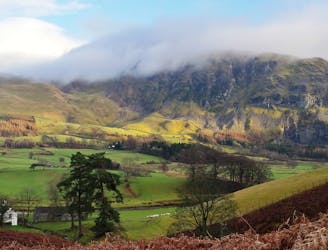
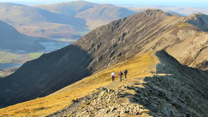
A broad ridge provides easy peak bagging but with a sting of a series of big ascents and descents towards the end.
Difficult Hiking
- Distance
- 22 km
- Ascent
- 1.7 km
- Descent
- 1.6 km

Blencathra is not only one of the oldest mountains in Lakeland, it’s one of the finest too.
Hiking Extreme

Exhibiting a strong spirit of independence, Blencathra is a favourite of young and old alike with myriad routes to its lofty summit where, on a fine day the fellwalker will be rewarded with some of the best views in the district. Complimenting the easier walking routes are two excellent scrambling ridges, one of which has attained classic status - and for good reason; in an area where narrow arêtes are in short supply Sharp Edge is in my opinion the daddy, gifting the scrambler and adventurous walker with the airiest, most sensational tightrope Lakeland has to offer.
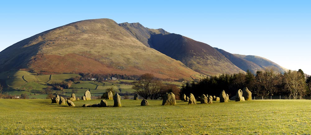
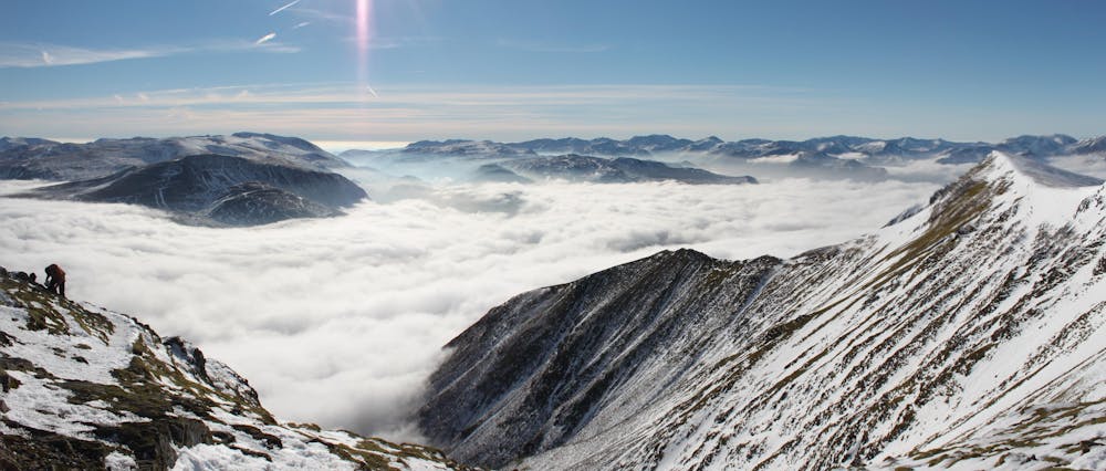
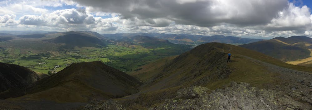
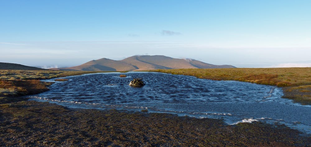
The approach to Sharp Edge couldn’t be more simple and starts from the roadside where a gate gives access to the gentle, bracken fringed path which contours around the lower slopes of the fell. Before long a faint trod forks off to the left gaining the broad back of Scales Fell. Ignore this and keep to the well trodden path which hugs the rim of Mousthwaite Combe with steep slopes dropping off to the right.
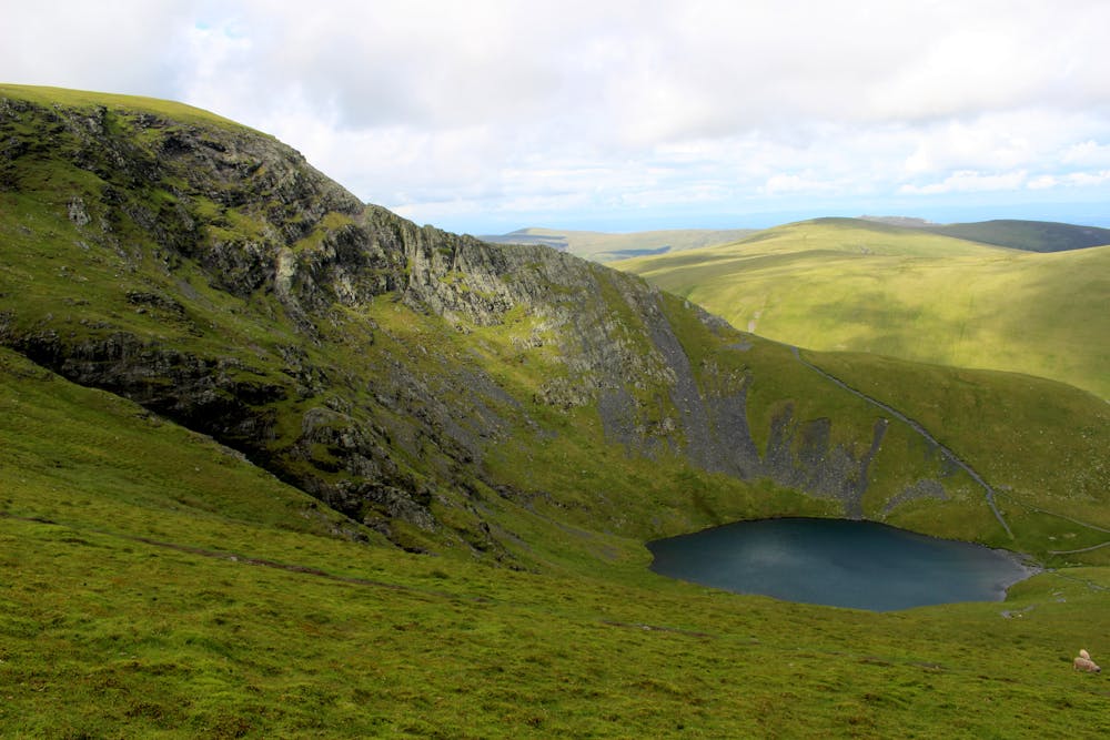
At the head of the combe the walk changes character as we drop into the valley of the River Glenderamakin. Suddenly the busy A66 is forgotten and we enter true hill country with a secretive valley laid out before us and Sharp Edge ahead throwing down an irresistible challenge. Before our scramble begins one more treat awaits as we reach Scales Tarn deeply set within its fine glacial combe. Rest awhile to soak up the atmosphere of this wonderful place and catch your breath, ready for the excitement soon to come.
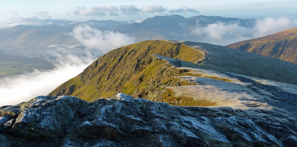
The way ahead is obvious and a short walk leads to the start of Sharp Edge which commences with an easy angled groove. Once on the crest it is simply a case of following the ridge over small pinnacles and a pavement wide level section which, while never technical is exposed and very polished. A bypass path on the right is ultimately more trouble than it’s worth and terminates in a loose scramble where the crest must be regained. A bold step past a leaning pinnacle constitutes what many consider to be the crux though to my mind the final scramble up Foule Crag where the ridge abuts the fellside is both technically more difficult and more exposed, though happily it doesn’t exceed grade 1 so with a steady approach there is nothing to fear in good weather. To get started on this final section a prominent groove to the right leads to more broken ground until Blencathra’s saddleback is attained.
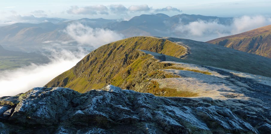
From here a short walk along the grassy ridge (with an optional visit to Atkinson Pike) will deliver you promptly to Hall’s Fell Top, Blencathra’s summit at 2847ft where if you’re lucky you’ll want to linger to enjoy the wonderful and far reaching vista.
A variety of descents are available using any of the southern ridges but in keeping with the mountaineering flavour of the day I recommend Hall’s Fell Ridge which starts right from the summit of the mountain, itself a fun grade 1 scramble where any naughty bits can be avoided on good paths.
At the foot of Hall's Fell excellent paths skirt the toes of the mountain, crossing Doddick Gill and Scales Beck before returning to the start and maybe a well earned pint in the White Horse Inn.
© Nicholas Livesey - UKHillwalking.com, Nov 2011
Extreme
Scrambling up mountains and along technical trails with moderate fall exposure. Handholds are necessary to navigate the trail in its entirety, although they are not necessary at all times. Some obstacles can be very large and difficult to navigate, and the grades can often be near-vertical. The challenge of the trail and the steepness of the grade results in very strenuous hiking. Hikes of this difficulty blur the lines between "hiking" and "climbing".
2.1 km away

A broad ridge provides easy peak bagging but with a sting of a series of big ascents and descents towards the end.
Difficult Hiking
4.2 km away
A less-trodden ascent to Blencathra.
Severe Hiking
4.9 km away
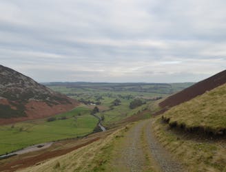
This northernmost summit of the Blencathra range has a hidden scenic corner, the high glacial bowl of Bowscale Tarn.
Moderate Hiking
5.9 km away
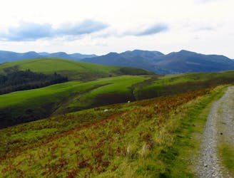
For a completely different day out head round to the hill's wilder northeastern side, where the wide open spaces of the Skiddaw Forest have plenty to offer lovers of remote country.
Moderate Hiking
8.1 km away
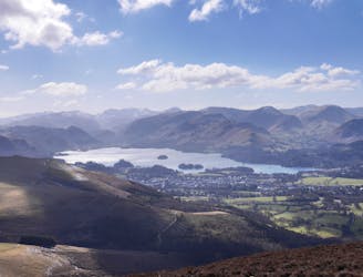
This route provides drastic contrasts, from easy terrain to extremely difficult terrain.
Extreme Hiking
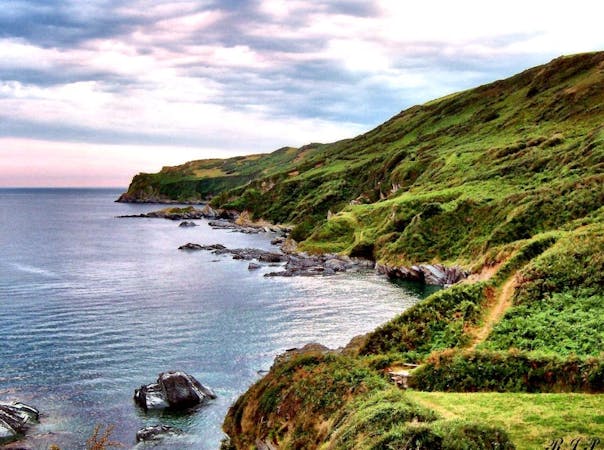
9 routes · Hiking
6 routes · Hiking
5 routes · Hiking