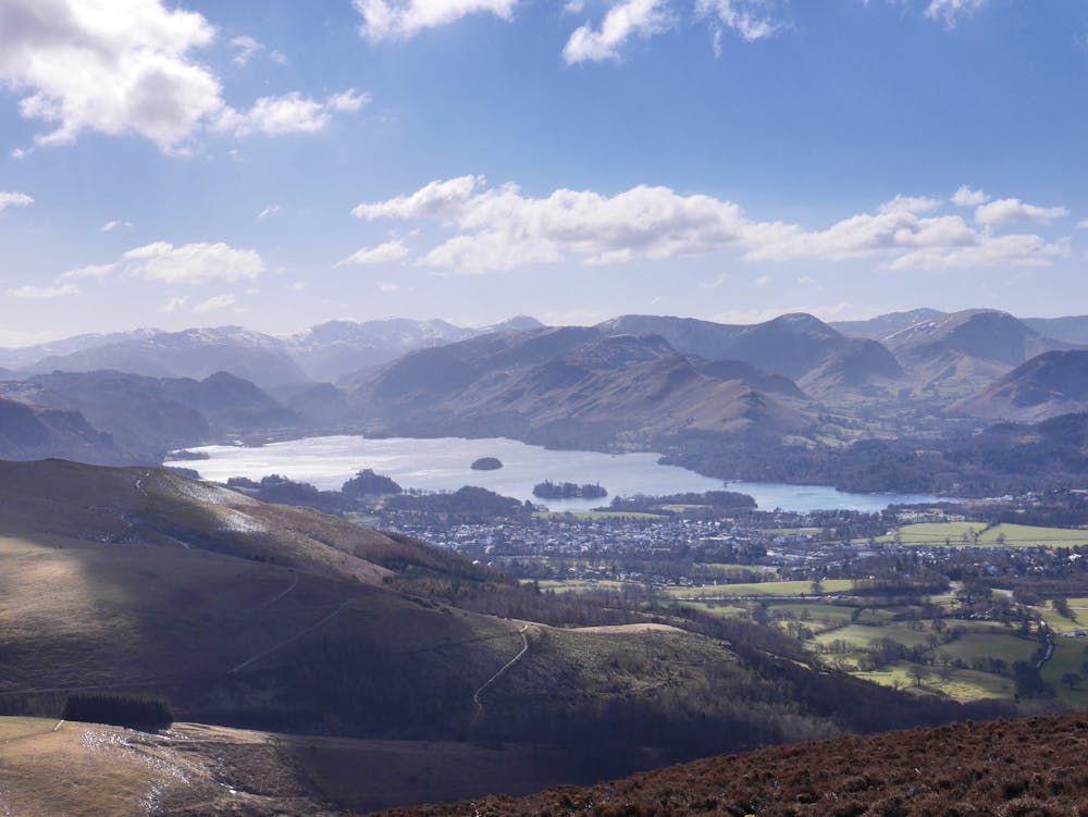
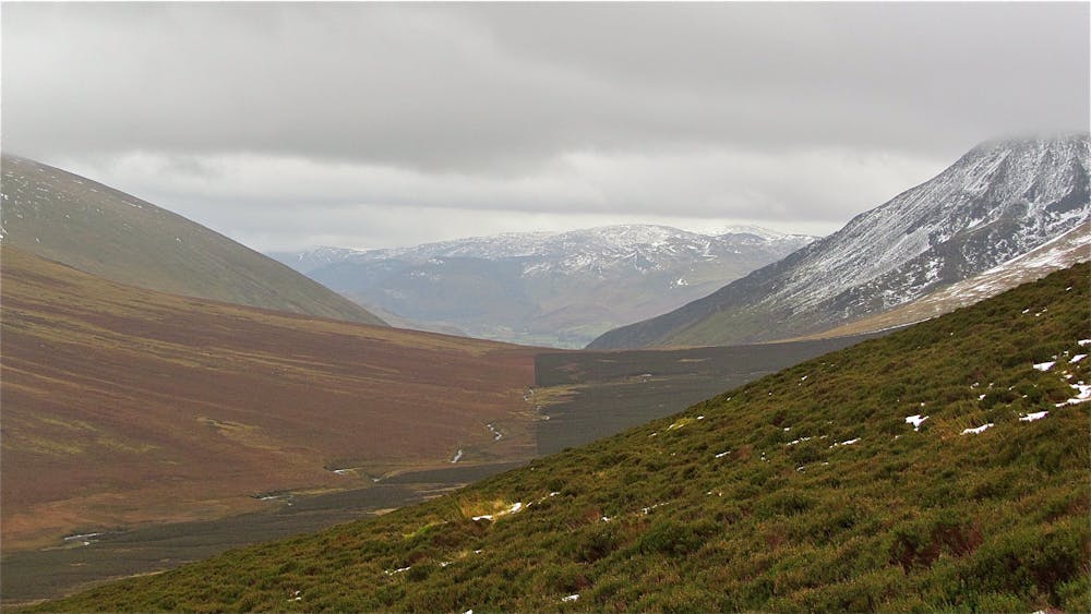
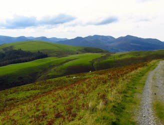
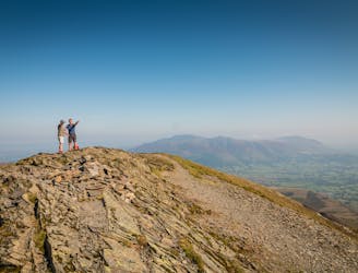
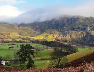
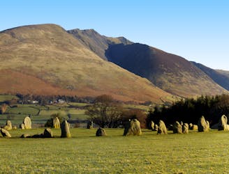
This part is often done at night, particularly on an attempt on the full round - the durations given reflect this.The Bob Graham Round is the classic (and probably easiest) British 24hr challenge and is attempted by around 200 fell-runners each year with around 1 in 3 attempts being successful. Though it may be done in either direction it is currently most commonly attempted clockwise which means that this is the first leg. Though not a long route this leg does cover some rough, pathless ground that may be found hard going especially after rain. Away from the two main tops of Skiddaw and Blencathra this is one of the quietest areas of the Lake District. Be prepared to encounter day-trippers in street shoes; an occasional solitary walker; fit looking runner types or even no-one at all. Done in a clockwise manner the route feels gentle but arriving on the summit of Blencathra you are met with a dramatic view down to the valley below. The drama is heightened by the knowledge that the route to your destination pitches you headlong down one of Lakeland's finest ridges. Try to time your arrival on Blencathra for an hour or so before sunset when the shadows are lengthening in the valley and the sun's rays are casting their last on the summits. Later, when sat supping a pint outside the pub in Threlkeld you can look up at the north slopes of Clough Head, the start of the next section of the round, thankful that you aren't trying to do it all within the 24hr time limit!
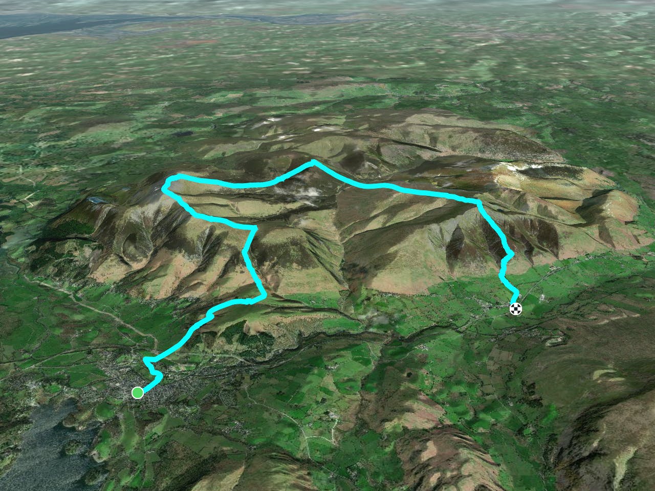
Start at the Moot Hall in Keswick and head for Fitz Park on the other side of the Greta. Leave the park by the northern corner then take the bridleway that climbs past Latrigg to a carpark. From here, follow the motorway of a path to the summit of Skiddaw.
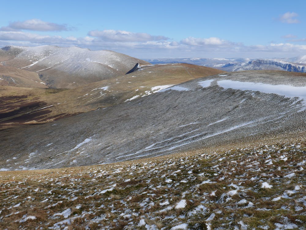
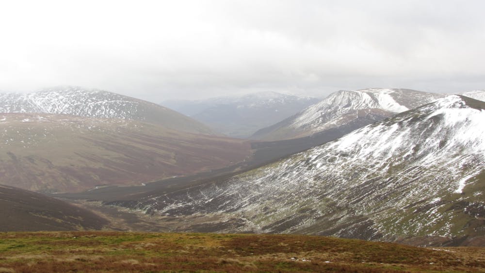
Continue straight on from the summit of Skiddaw then cut down right and cross the fence to gain a path that joins a set of quad-bike tracks. When these begin to bear left, cut to the right on a prominent path which leads over Hare Crag to the Skiddaw House track at a small bridge. From the track crossing follow the beck on the righthand side for a hundred metres or so then head directly for the summit of Great Calva, the path cuts rightwards near the top to gain the south ridge.
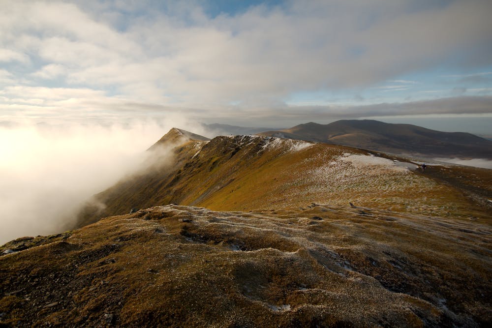
From the south end of the summit plateau through increasingly high heather to gain the bridleway/track. Alternatively, a couple of hundred metres of very rough ground leads to the River Caldew at the big bend in the river. There is a sheepfold on the other bank about 200m from the river (not marked on the OS map). If the river is in spate, then head upstream until the fence crosses the river and use this whilst pretending to be Indiana Jones. Now strike up onto Mungrisedale Common aiming for the cairn marked on the map. The ground is steep at first but eases to provide a steady ascent. You are likely to miss the cairn if your navigation is not accurate. There is a path leading towards Blencathra from the cairn but this fades as the ground begins to rise. Take care not to veer too far to the right, you need to aim for the left end of the summit skyline. Just before the ground steepens there is another sheepfold on the left (again not marked on OS map) and the path fades away. About 200m after the fold, bear right finding the best way through the screes, then in the same line to the summit of Blencathra at the top of Hall’s Fell Ridge.
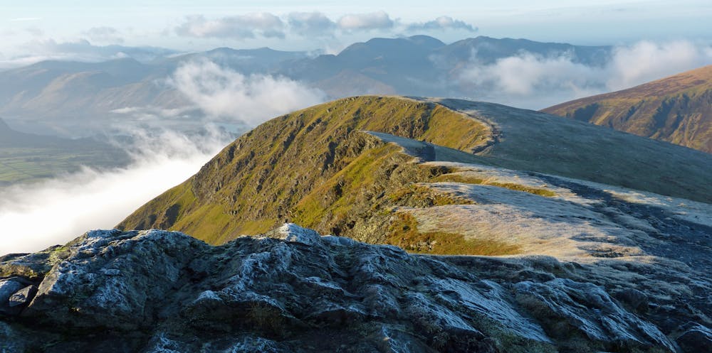
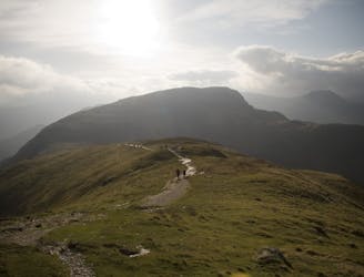
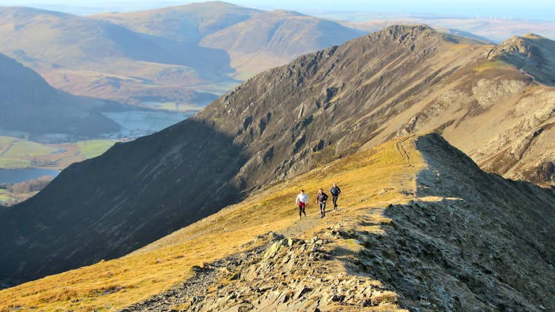
There are two options here. Descend Hall's Fell which starts just a few metres from the summit cairn - there is some exposed scrambling after a couple of hundred metres. Follow the path down the broader lower slopes before bearing right to the fell gate. Or instead, head eastwards until a cairn marks the top of the path down Doddick Fell. At the foot of this head back westwards to gain the fell gate beneath Hall's Fell. Go down through the farm and follow the farm track down to the road which leads down to Threlkeld and the A66.
© Bob - UKHillwalking.com, Oct 2011