4 km away
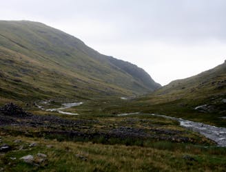
Bob Graham Round: 1 Keswick to Threlkeld
This route provides drastic contrasts, from easy terrain to extremely difficult terrain.
Extreme Hiking
- Distance
- 21 km
- Ascent
- 1.6 km
- Descent
- 1.6 km
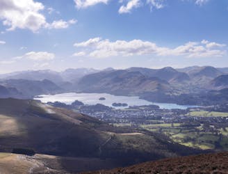
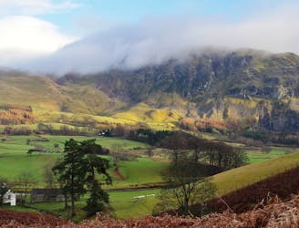
For one of the best short routes in the north Lakes combine the charismatic mini mountain Cat Bells with a ramble along the wooded west side of Derwentwater - perhaps the most picturesque shoreline in England.
Hiking Moderate

For one of the best short routes in the north Lakes combine the charismatic mini mountain Cat Bells with a ramble along the wooded west side of Derwentwater - perhaps the most picturesque shoreline in England. To make this family-friendly trip a little bit extra special try approaching the walk by boat from Keswick; there's a regular timetable of launches year round.
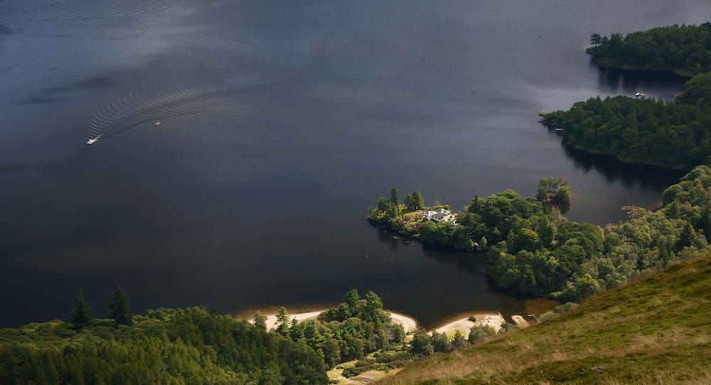
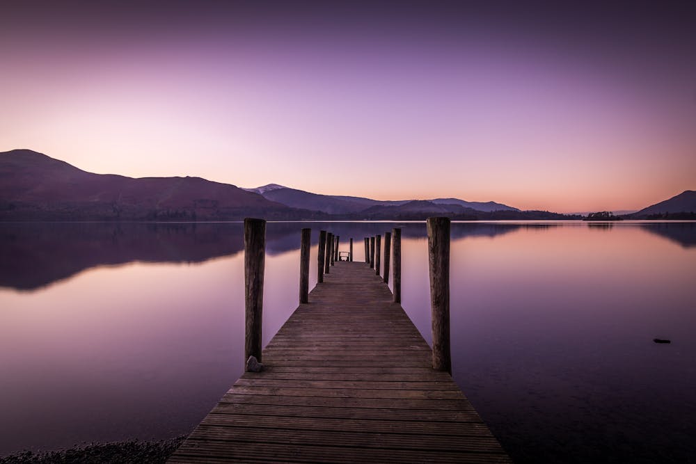
From the landing stage at High Brandelhow follow the footpath north along the lake shore, through beautiful deciduous woods. If you've kids in tow Victoria Bay is a good place to stop for a splash-about. Just before reaching here you pass a wooden sculpture of a giant pair of hands, commissioned in 2002 to mark the 100th anniversary of the National Trust. Brandelhow is the 'birthplace' of the Trust in the Lake District. Continue past the jetty at Low Brandelhow and instead of turning inland here carry on to the little point at Otterbield Bay (because it's there, and lovely). Now the path cuts back on itself, running inland to pass around the bay to reach Hawse End Outdoor Centre. Beyond the centre turn left and walk up though the woods to the minor road at the foot of Cat Bells.
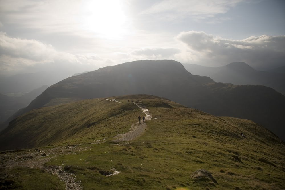
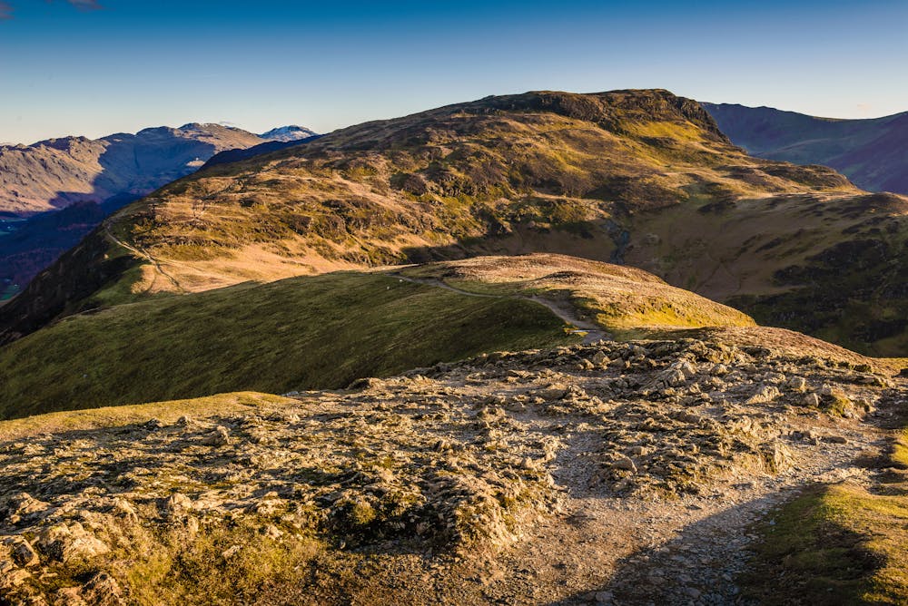
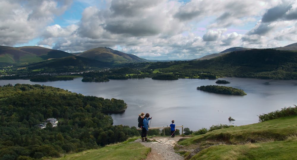
You've a choice of paths to get established on the fell's north ridge, either to the left or the right. Above their initial zigzags both soon rejoin for the steady plod up the ridge, with expansive views over Derwentwater opening out behind you. A short section of scrambly slatey rock leads to an attractive level ridge crest, Skelgill Bank. This soon brings you to the base of Cat Bells' steep summit cone; brief, but quite a slog. If it's a sunny weekend expect some company on top.
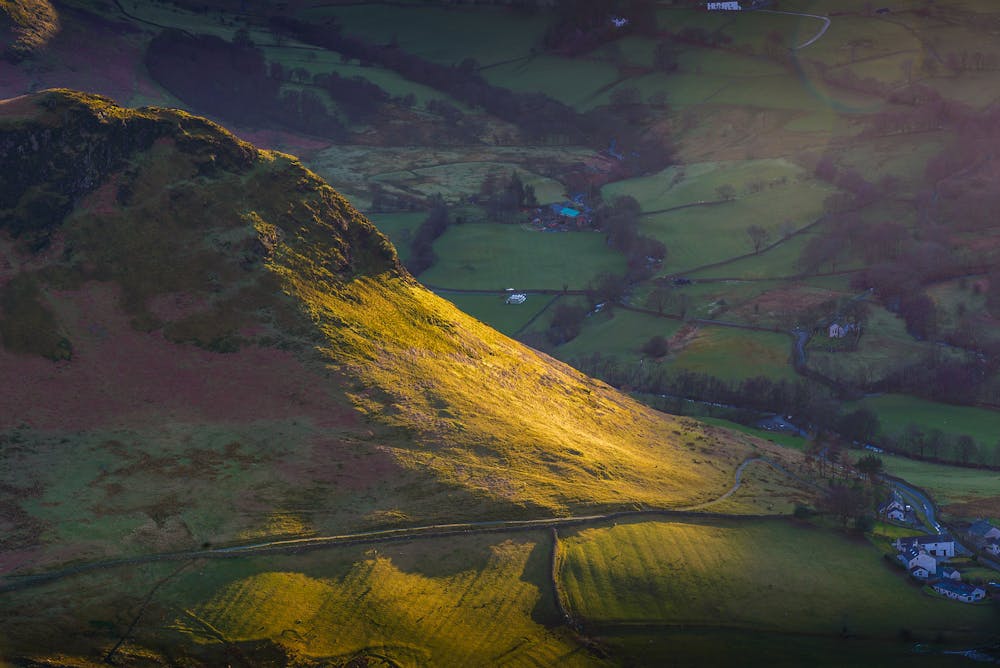
Descend easily south to the col at Hause Gate. Here cut left on a flagstone path for a long diagonal descent into Borrowdale. Once down by the trees cut left on a trail that traverses the hillside to reach the road above Brandelhow Bay. Go north very briefly on the road, then turn off right to descend a path past mine workings down to the lake shore at the High Brandelhow landing stage.
© Dan Bailey - UKHillwalking.com, Aug 2013
Moderate
Hiking along trails with some uneven terrain and small hills. Small rocks and roots may be present.
4 km away
This route provides drastic contrasts, from easy terrain to extremely difficult terrain.
Extreme Hiking
4.6 km away
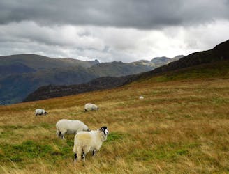
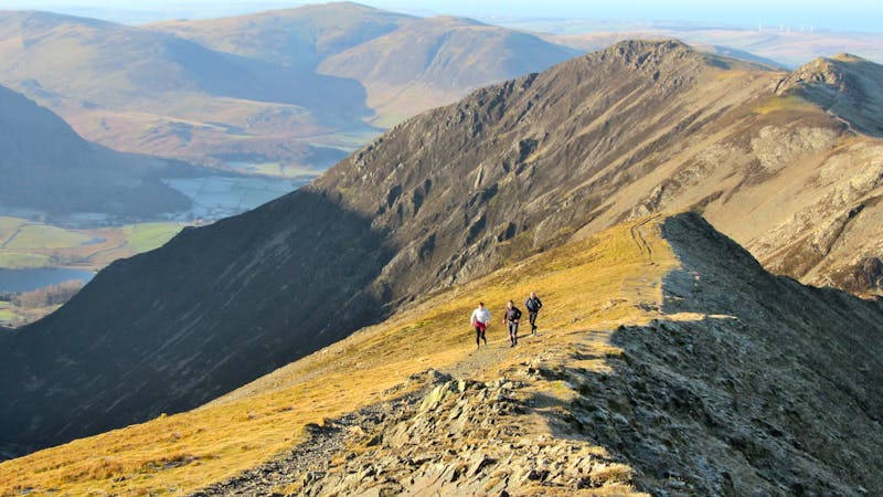
The pleasure found on the hills that cradle Coledale in their lap will satisfy even the greediest of hill gluttons.
Severe Hiking
6.2 km away
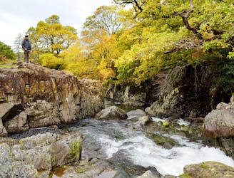
A beautiful walk to an exceptional wild swimming spot
Moderate Hiking
6.7 km away
The easiest of the legs of the Bob Graham Round with half the distance being on roads.
Difficult Hiking
6.7 km away
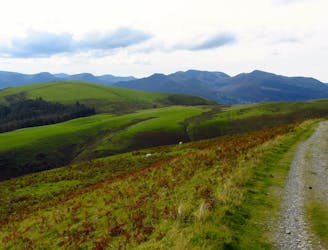
For a completely different day out head round to the hill's wilder northeastern side, where the wide open spaces of the Skiddaw Forest have plenty to offer lovers of remote country.
Moderate Hiking
8.8 km away
This round which tackles the hills enclosing secretive Gasgale Gill is perfect for a shorter day, and after an inauspicious start rewards baggers with three Wainwrights building to a fine climax with a traverse of one of the best walker’s ridges in the entire national park.
Difficult Hiking
9 km away
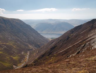
This stern, stony mountain sprawls over a large area, its many impressive corners offering some of the grandest mountain scenery in the Lake District.
Difficult Hiking
9.4 km away
A broad ridge provides easy peak bagging but with a sting of a series of big ascents and descents towards the end.
Difficult Hiking

9 routes · Hiking
6 routes · Hiking

5 routes · Hiking