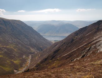
Take the path by the fence that leads northwards. As the fence is left behind the path becomes better defined and leads directly to the cairn of Dale Head. On a clear day you can see much of the route from here, only the Wasdale fells being hidden by the bulk of Great Gable. Follow the path westwards along the ridge before dropping down to a flat area. Take the path leading to the right and soon the summit of Hindscarth is reached.
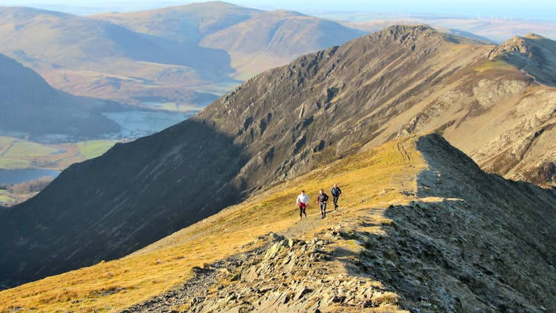
Return the way you came but after about 200m cut down to the right to pick up a path that leads directly to the col below Robinson. Now follow the main path to the summit. From the summit head NW (don't go too far left as the ridge is bounded by very steep ground). The path is surprisingly indistinct at first but soon becomes more prominent as the ridge narrows. Eventually the ridge steepens and there is a series of three (easy) rock steps to negotiate before a small col is reached.
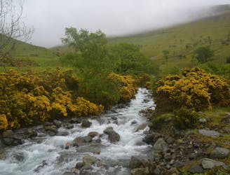
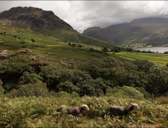
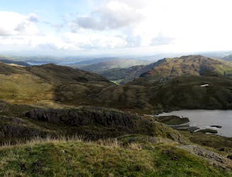
From the col there are two options, either continue along the grassy ridge to High Snab Bank and then drop down to the lane leading to Newlands Church, or drop down to Scope Beck and follow the track in the valley bottom to gain the lane leading to the church. There's no real difference in time or effort. Once on the road, follow it through Little Town and Stair to Portinscale.
In Portinscale take the footbridge over the Derwent then after about 300m take the footpath leading through the fields towards Keswick. The path joins the main road by the bridge over the Greta, turn right and fight through the crowds to reach the Moot Hall.
© Bob - UKHillwalking.com, Oct 2011