4 km away
Bob Graham Round: 1 Keswick to Threlkeld
This route provides drastic contrasts, from easy terrain to extremely difficult terrain.
Extreme Hiking
- Distance
- 21 km
- Ascent
- 1.6 km
- Descent
- 1.6 km
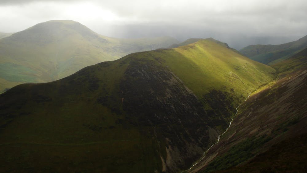
The pleasure found on the hills that cradle Coledale in their lap will satisfy even the greediest of hill gluttons.
Hiking Severe

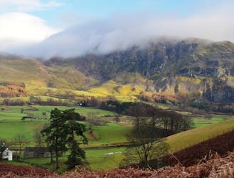
The North Western Fells (along with their Far Eastern counterparts) are somewhat unfashionable in the grand scheme of Lakeland hill bashing; a strange state of affairs considering the shapely profile they present to Keswick bound travellers on the A66. I had been guilty of ignoring them for years until my conscience finally got the better of me and I threw off my Blencathra goggles! I was glad I did though, as the pleasure found on the hills that cradle Coledale in their lap will satisfy even the greediest of hill gluttons, but don’t take my word for it, go and see for yourself!
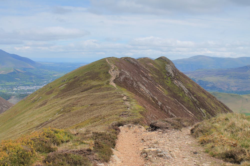
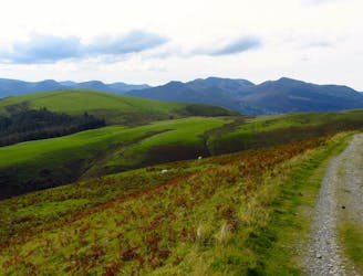
A good place to leave the motor (if you have one and there is space) is a small car park just outside Braithwaite up the Whinlatter road where you’ll find a handy path leading up onto the open fell. After a little bit of hard graft you’ll soon be striding across the smooth turf of Kinn. It’s a good idea to enjoy the sedate nature of the walking here as the beautiful peak in front of you is Grisedale Pike which is steeper than it looks and your next destination.
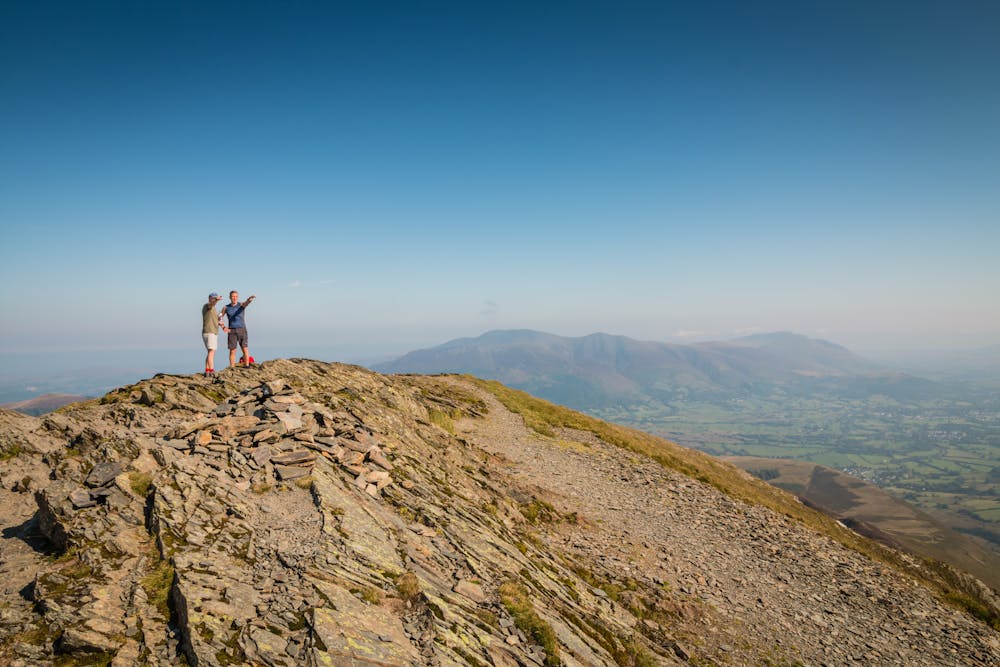
Now we’re talking, worth the effort wasn’t it? From Grisedale Pike’s compact summit the rest of your day can be surveyed; daunting or inspiring? You decide! Not strictly on the round but too good to miss is Hopegill Head with the onward march following the rim of the seldom trodden Hobcarton Valley by way of an unnamed intervening height.
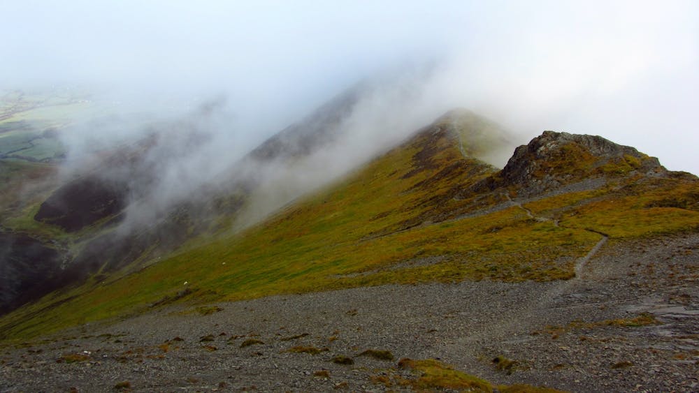
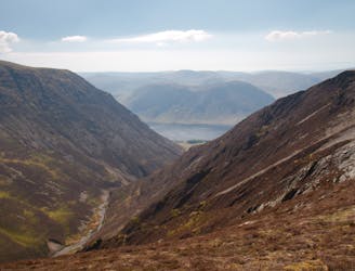
Hopegill Head’s breezy top is a real summit and so fine you’ll want to linger long and maybe even make an ‘out and back’ trip to Whiteside, the call of which can be difficult to resist. Don’t overdo it though; there is still much to be done! Next stop Eel Crag (properly named Crag Hill) which lies across Coledale Hause. Descend roughly SE and over the conspicuous bump of Sand Hill until the busy Coledale Hause is underfoot. From here there are two ways of tackling your next hill but this route takes the gentle option and follows Liza Beck to a crossroads on the col which separates Grasmoor and Eel Crag. Turn left and make your way easily to Eel Crag’s plateau-like summit where a superb view of the Scafells can be enjoyed.
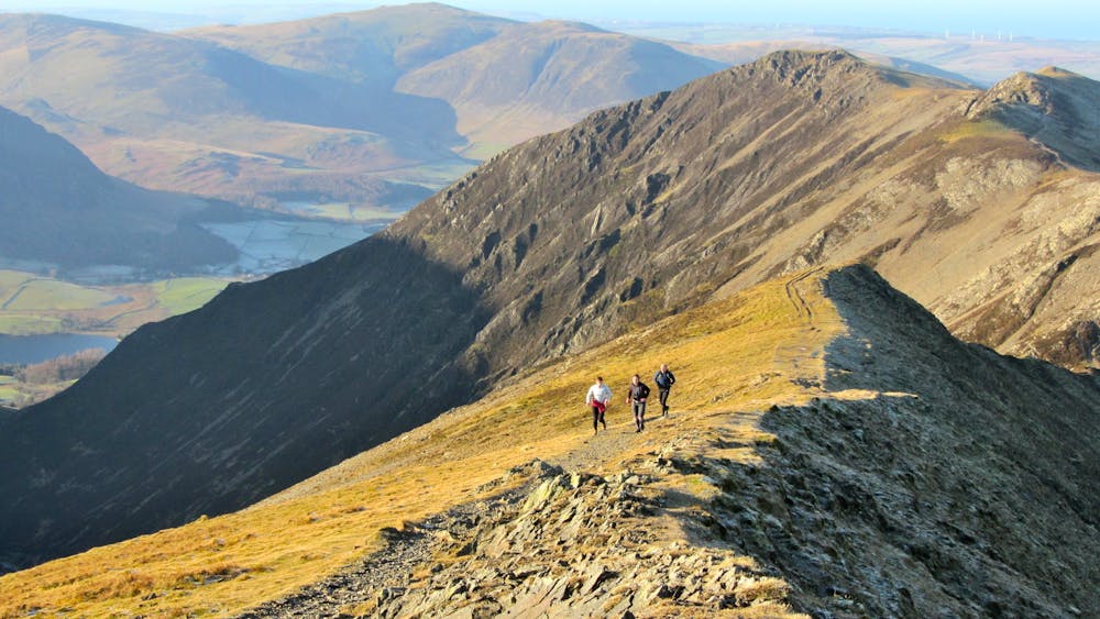
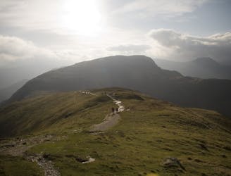
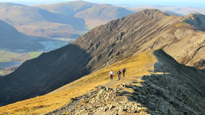
Make the scrambly descent of Eel Crag and embark on one and a half miles of stunning ridge walking, bagging a couple of Wainwrights on the way and coming to rest on a third, the superb knobbly top of Causey Pike.
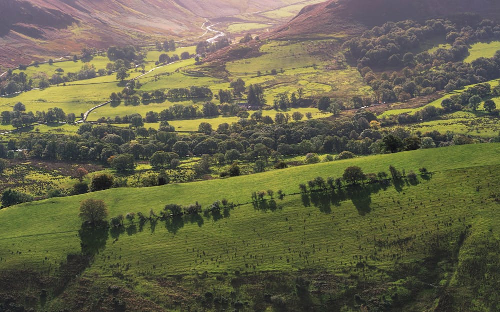
The way off Causey Pike is obvious but airy, though with sure feet there is nothing to fear. Before long the angle relents and a gentle stroll through heather leads to the minor top of Rowling End, the descent of which is also steep in places. At the road a couple of short miles deliver you back to Braithwaite, where no doubt you’ll be keen to sample all the Royal Oak has to offer!
© Nicholas Livesey - UKHillwalking.com, Nov 2011
Severe
Hiking challenging trails where simple scrambling, with the occasional use of the hands, is a distinct possibility. The trails are often filled with all manner of obstacles both small and large, and the hills are very steep. Obstacles and challenges are often unexpected and can be unpredictable.
4 km away
This route provides drastic contrasts, from easy terrain to extremely difficult terrain.
Extreme Hiking
4.6 km away
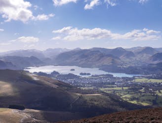
For one of the best short routes in the north Lakes combine the charismatic mini mountain Cat Bells with a ramble along the wooded west side of Derwentwater - perhaps the most picturesque shoreline in England.
Moderate Hiking
5.8 km away
For a completely different day out head round to the hill's wilder northeastern side, where the wide open spaces of the Skiddaw Forest have plenty to offer lovers of remote country.
Moderate Hiking
7.1 km away
This round which tackles the hills enclosing secretive Gasgale Gill is perfect for a shorter day, and after an inauspicious start rewards baggers with three Wainwrights building to a fine climax with a traverse of one of the best walker’s ridges in the entire national park.
Difficult Hiking
9.9 km away
A broad ridge provides easy peak bagging but with a sting of a series of big ascents and descents towards the end.
Difficult Hiking

9 routes · Hiking
6 routes · Hiking

5 routes · Hiking