
2.5 km away
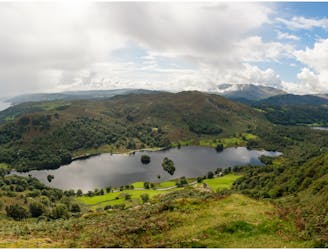
Helm Crag
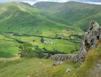
A short family-friendly walk from Grasmere's Town Head, taking in a beautiful valley and an easy ridge to a classic Lakeland micro-summit, which feels much higher than its on-paper altitude suggests.
Moderate Hiking
- Distance
- 8.4 km
- Ascent
- 432 m
- Descent
- 449 m