1.6 km away
Bowscale Fell via Bowscale Tarn
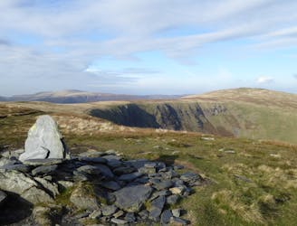
This northernmost summit of the Blencathra range has a hidden scenic corner, the high glacial bowl of Bowscale Tarn.
Moderate Hiking
- Distance
- 4.7 km
- Ascent
- 289 m
- Descent
- 461 m
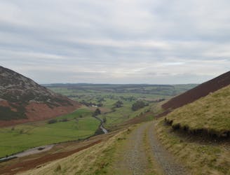
Mosedale - Great Lingy Hut - High Pike - Carrock Fell - Mosedale
Hiking Moderate

This is a popular hiking route which is generally considered to be moderate. It's remote, it features medium exposure and is typically done all year round. From a low point of 216 m to the maximum altitude of 657 m, the route covers 14 km, 572 vertical metres of ascent and 572 vertical metres of descent.
Mosedale - Great Lingy Hut - High Pike - Carrock Fell - Mosedale
Moderate
Hiking along trails with some uneven terrain and small hills. Small rocks and roots may be present.

The trail contains some obstacles such as outcroppings and rock which could cause injury.
Away from help but easily accessed.
1.6 km away
This northernmost summit of the Blencathra range has a hidden scenic corner, the high glacial bowl of Bowscale Tarn.
Moderate Hiking
4.2 km away
A less-trodden ascent to Blencathra.
Severe Hiking
6 km away
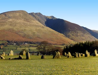
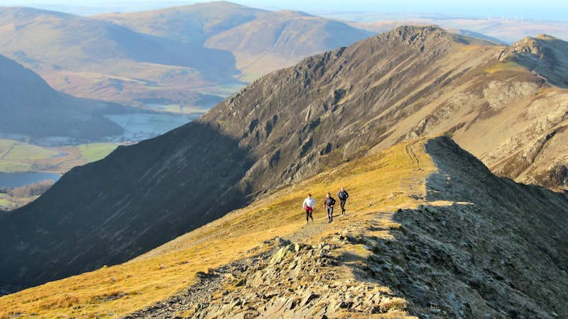
Blencathra is not only one of the oldest mountains in Lakeland, it’s one of the finest too.
Extreme Hiking
7.3 km away
A broad ridge provides easy peak bagging but with a sting of a series of big ascents and descents towards the end.
Difficult Hiking
8.3 km away
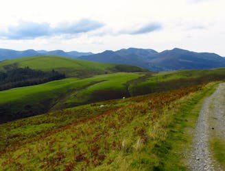
For a completely different day out head round to the hill's wilder northeastern side, where the wide open spaces of the Skiddaw Forest have plenty to offer lovers of remote country.
Moderate Hiking

9 routes · Hiking
6 routes · Hiking

5 routes · Hiking