516 m away
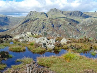
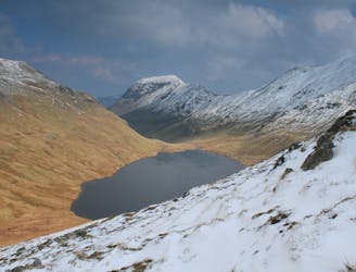
Bowfell and Crinkle Crags
This Cumbrian crowd-pleaser is an oldie, but a goodie.
Severe Hiking
- Distance
- 14 km
- Ascent
- 956 m
- Descent
- 924 m
Dungeon Ghyll bridge, Stickle Ghyll, Jacks Rake, Pike of Stickle, Loft Crag, Dungeon Ghyll, Side Gates, Lingmoor Fell, Blea Tarn, Side Gates, Dungeon Ghyll bridge
Hiking Difficult

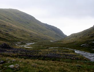
This is a popular hiking route which is generally considered to be difficult. It's remote, it features high exposure and is typically done between February and November. From a low point of 91 m to the maximum altitude of 713 m, the route covers 15 km, 1084 vertical metres of ascent and 1084 vertical metres of descent.
Dungeon Ghyll bridge, Stickle Ghyll, Jacks Rake, Pike of Stickle, Loft Crag, Dungeon Ghyll, Side Gates, Lingmoor Fell, Blea Tarn, Side Gates, Dungeon Ghyll bridge
Difficult
Hiking trails where obstacles such as rocks or roots are prevalent. Some obstacles can require care to step over or around. At times, the trail can be worn and eroded. The grade of the trail is generally quite steep, and can often lead to strenuous hiking.

Some trail sections have exposed ledges or steep ascents/descents where falling could cause serious injury.

Away from help but easily accessed.
516 m away
This Cumbrian crowd-pleaser is an oldie, but a goodie.
Severe Hiking
527 m away
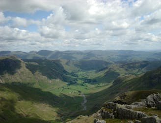
This classic route has it all and is justly popular but don’t let the crowds put you off; wait until later in the day and there’s a good chance you’ll have it to yourself!
Extreme Hiking
3.9 km away
The short route described here is ideal either as a half-day family adventure, or a quick blast between showers.
Easy Hiking
5.6 km away
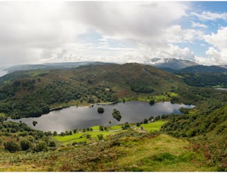
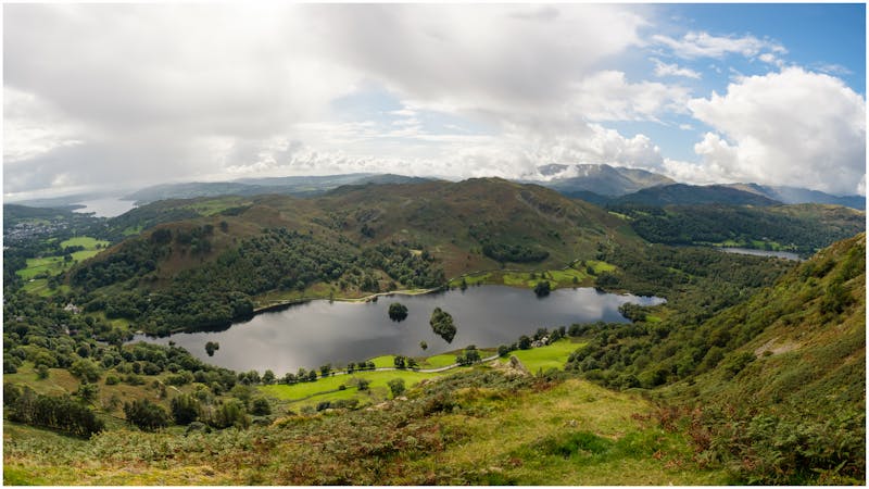
A short family-friendly walk from Grasmere's Town Head, taking in a beautiful valley and an easy ridge to a classic Lakeland micro-summit, which feels much higher than its on-paper altitude suggests.
Moderate Hiking
6.3 km away
An excellent walk taking in an unusual combination of hills, and full of interest all the way.
Moderate Hiking
6.6 km away
The second half of this route takes in much of the roughest ground in the Lake District and you need the fell craft of a goat to keep up a good pace.
Extreme Hiking
7.2 km away
Circumnavigate a beautiful little lake and visit one of the Lake District's most famous manmade landmarks.
Moderate Hiking
7.4 km away
This stern, stony mountain sprawls over a large area, its many impressive corners offering some of the grandest mountain scenery in the Lake District.
Difficult Hiking
8.2 km away
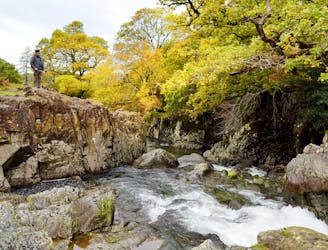
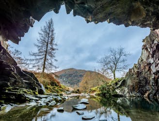
A beautiful walk to an exceptional wild swimming spot
Moderate Hiking
8.6 km away
This celebrated round packs a lot into its ten and a half miles, giving easy striding and ever-improving vistas culminating on one of the best-loved peaks in Lakeland.
Difficult Hiking

9 routes · Hiking

5 routes · Hiking
5 routes · Hiking

7 routes · Hiking