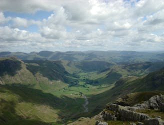
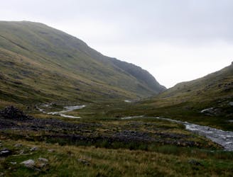
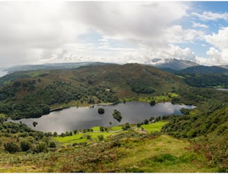
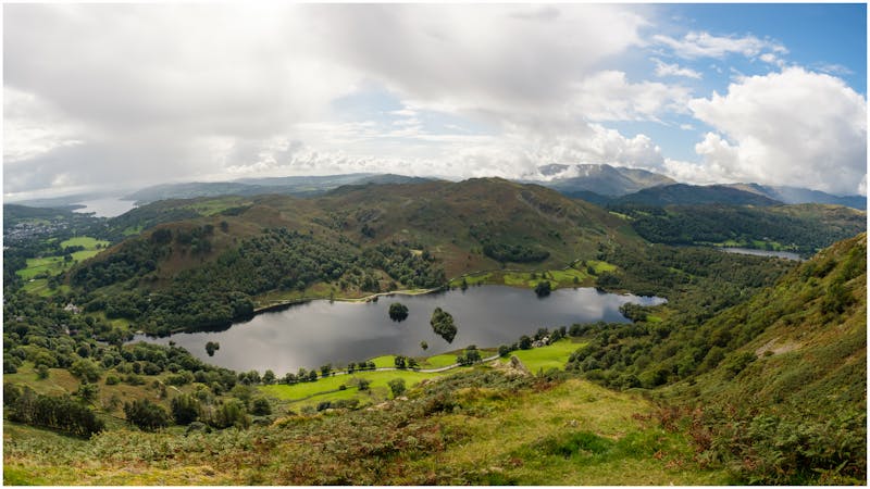
FATMAP by Strava

Pike O'Stickle

Lake District National Park

Great Langdale Beck bridge - Stickle Ghyll - Pike O'Stickle - Loft Crag - Dungeon Ghyll - Great Langdale Beck bridge

Hiking Easy

Distance
7.1 km
Ascent
620 m
Descent
620 m
Duration
2-3 hrs
Low Point
91 m
High Point
697 m
Gradient
18˚
Pike O'Stickle Map

This is a popular hiking route which is generally considered to be easy. It's remote, it features medium exposure and is typically done all year round. From a low point of 91 m to the maximum altitude of 697 m, the route covers 7.1 km, 620 vertical metres of ascent and 620 vertical metres of descent.

Description

Great Langdale Beck bridge - Stickle Ghyll - Pike O'Stickle - Loft Crag - Dungeon Ghyll - Great Langdale Beck bridge

Difficulty

Easy

Walking along a well-kept trail that’s mostly flat. No obstacles are present.

Medium Exposure

2 out of 4

The trail contains some obstacles such as outcroppings and rock which could cause injury.

Remoteness

2 out of 4

Away from help but easily accessed.

Best time to visit

all year round

Features

  • Picturesque
  • Dog friendly
  • Water features
  • Family friendly

Similar routes nearby

Guidebooks in this area