117 m away
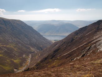
Bob Graham Round: 5 Honister to Keswick
The easiest of the legs of the Bob Graham Round with half the distance being on roads.
Difficult Hiking
- Distance
- 17 km
- Ascent
- 719 m
- Descent
- 994 m
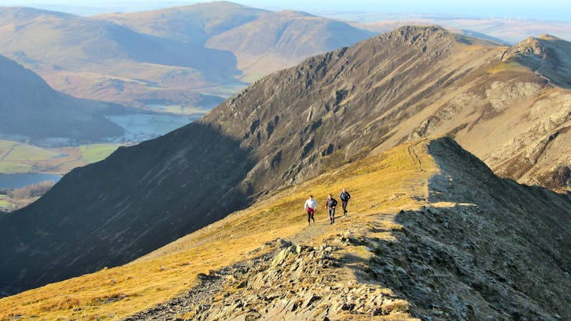
Honister Slate Mine - Grey Knotts - Brandreth - Pillar - Honister Slate Mine
Hiking Severe

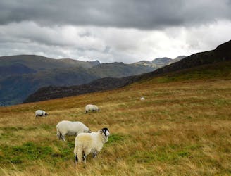
This is a popular hiking route which is generally considered to be severe. It's very remote, it features high exposure and is typically done between April and October. From a low point of 280 m to the maximum altitude of 891 m, the route covers 16 km, 1239 vertical metres of ascent and 1239 vertical metres of descent.
Honister Slate Mine - Grey Knotts - Brandreth - Pillar - Honister Slate Mine
Severe
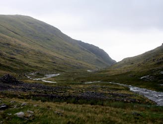
Hiking challenging trails where simple scrambling, with the occasional use of the hands, is a distinct possibility. The trails are often filled with all manner of obstacles both small and large, and the hills are very steep. Obstacles and challenges are often unexpected and can be unpredictable.

Some trail sections have exposed ledges or steep ascents/descents where falling could cause serious injury.
Little chance of being seen or helped in case of an accident.
117 m away
The easiest of the legs of the Bob Graham Round with half the distance being on roads.
Difficult Hiking
2.8 km away
This stern, stony mountain sprawls over a large area, its many impressive corners offering some of the grandest mountain scenery in the Lake District.
Difficult Hiking
3.9 km away
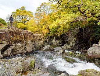
A beautiful walk to an exceptional wild swimming spot
Moderate Hiking
6.7 km away
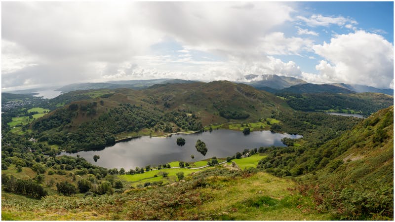
For one of the best short routes in the north Lakes combine the charismatic mini mountain Cat Bells with a ramble along the wooded west side of Derwentwater - perhaps the most picturesque shoreline in England.
Moderate Hiking
7.4 km away
An exciting loop taking in both Scafell and Scafell Pike
Severe Hiking
7.4 km away
This is a fantastic circuit around the head of Wasdale on generally quiet fells, Great Gable being the obvious exception, with equally fantastic views both towards Lakeland and out across the Irish Sea.
Difficult Hiking
8.8 km away
Climb several notable Lake District Peaks in one day: Yewbarrow, Red Pike, Scoat Fell and Pillar.
Extreme Hiking
9.7 km away
This Cumbrian crowd-pleaser is an oldie, but a goodie.
Severe Hiking
9.7 km away
This round which tackles the hills enclosing secretive Gasgale Gill is perfect for a shorter day, and after an inauspicious start rewards baggers with three Wainwrights building to a fine climax with a traverse of one of the best walker’s ridges in the entire national park.
Difficult Hiking

9 routes · Hiking
6 routes · Hiking

5 routes · Hiking

18 routes · Alpine Climbing · Hiking
5 routes · Hiking

7 routes · Hiking