174 m away
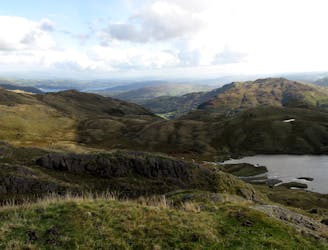
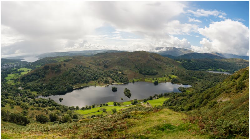
Rydal Cave and Water Loop
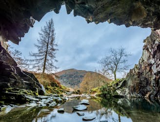
Circumnavigate a beautiful little lake and visit one of the Lake District's most famous manmade landmarks.
Moderate Hiking
- Distance
- 4.1 km
- Ascent
- 109 m
- Descent
- 111 m
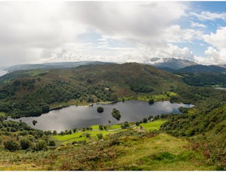
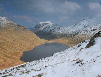
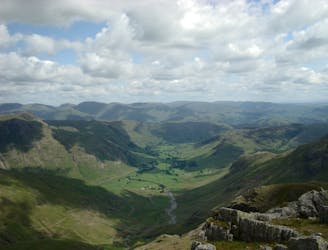
Rydal - Loughrigg - Lingmoor - Silver How - Grasmere
Hiking Moderate

This is a popular hiking route which is generally considered to be moderate. It's not remote, it features low exposure and is typically done between February and November. From a low point of 53 m to the maximum altitude of 463 m, the route covers 20 km, 1184 vertical metres of ascent and 1177 vertical metres of descent.
Rydal - Rydal Caves - Loughrigg Fell - Elterwater - Lingmoor Fell - Lingmoor Fell Tarn - Burlington Slate Mine - Silver How - Grasmere
Moderate
Hiking along trails with some uneven terrain and small hills. Small rocks and roots may be present.

The path is on completely flat land and potential injury is limited to falling over.
Close to help in case of emergency.
174 m away
Circumnavigate a beautiful little lake and visit one of the Lake District's most famous manmade landmarks.
Moderate Hiking
1.8 km away
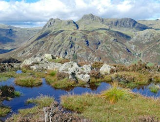
This celebrated round packs a lot into its ten and a half miles, giving easy striding and ever-improving vistas culminating on one of the best-loved peaks in Lakeland.
Difficult Hiking
3.9 km away
The short route described here is ideal either as a half-day family adventure, or a quick blast between showers.
Easy Hiking
4.9 km away
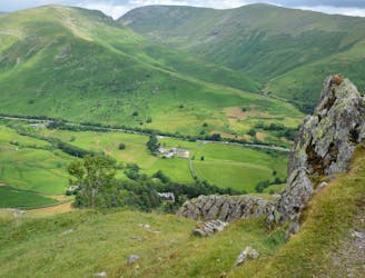
A short family-friendly walk from Grasmere's Town Head, taking in a beautiful valley and an easy ridge to a classic Lakeland micro-summit, which feels much higher than its on-paper altitude suggests.
Moderate Hiking
6.1 km away
An excellent walk taking in an unusual combination of hills, and full of interest all the way.
Moderate Hiking
6.7 km away
The second half of this route takes in much of the roughest ground in the Lake District and you need the fell craft of a goat to keep up a good pace.
Extreme Hiking
7 km away
This classic route has it all and is justly popular but don’t let the crowds put you off; wait until later in the day and there’s a good chance you’ll have it to yourself!
Extreme Hiking
7.9 km away
This Cumbrian crowd-pleaser is an oldie, but a goodie.
Severe Hiking
9.4 km away
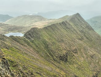
Overwhelming popularity cannot diminish the spectacular class of England’s finest ridge walking horseshoe, a circuit of the chiseled crests cupping the Red Tarn cove.
Severe Hiking

5 routes · Hiking
5 routes · Hiking

7 routes · Hiking