20 m away
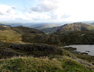
Old Man of Coniston
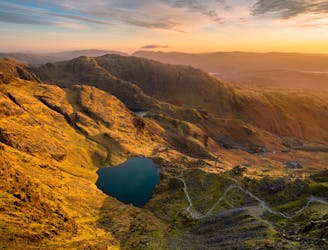
Hike one of the Lake District's most iconic mountains and pass a spectacular crag en route
Difficult Hiking
- Distance
- 7.9 km
- Ascent
- 586 m
- Descent
- 586 m
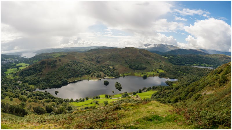
Walna Scar - Levers Water - Black Sails - Wetherlam - Prison Band - Swirl How - Great Carrs - Grey Friar - Brim Fell - Goats Water - Banishead Tarn - Walna Scar
Hiking Moderate

This is a popular hiking route which is generally considered to be moderate. It's remote, it features medium exposure and is typically done all year round. From a low point of 225 m to the maximum altitude of 795 m, the route covers 18 km, 1049 vertical metres of ascent and 1049 vertical metres of descent.
Walna Scar - Levers Water - Black Sails - Wetherlam - Prison Band - Swirl How - Great Carrs - Grey Friar - Brim Fell - Goats Water - Banishead Tarn - Walna Scar
Moderate
Hiking along trails with some uneven terrain and small hills. Small rocks and roots may be present.

The trail contains some obstacles such as outcroppings and rock which could cause injury.
Away from help but easily accessed.
20 m away
Hike one of the Lake District's most iconic mountains and pass a spectacular crag en route
Difficult Hiking
8.7 km away
The short route described here is ideal either as a half-day family adventure, or a quick blast between showers.
Easy Hiking
9.1 km away
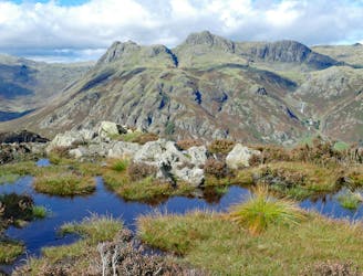
Taking in the major fells that ring the head of Eskdale, this round includes many of the highest, most interesting and most popular peaks in England, allowing the walker to fully enjoy this wonderful corner of the Lake District.
Severe Hiking
9.1 km away
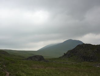
This Cumbrian crowd-pleaser is an oldie, but a goodie.
Severe Hiking
9.5 km away
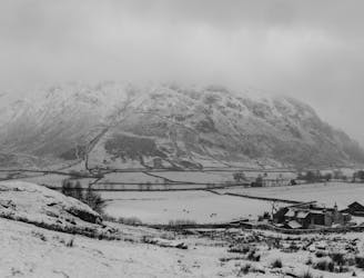
This classic route has it all and is justly popular but don’t let the crowds put you off; wait until later in the day and there’s a good chance you’ll have it to yourself!
Extreme Hiking
5 routes · Hiking

7 routes · Hiking