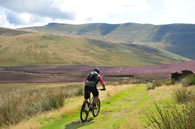
FATMAP by Strava

Whinlatter Forest Altura Trail South Loop

Lake District National Park

A purpose-built fun singletrack trail that is slightly easier than the North Loop and would make a good progression for riders wanting to challenge themselves after conquering the Quercus Trail.

Mountain Biking Difficult

Distance
6.3 km
Ascent
207 m
Descent
207 m
Duration
0-1 hrs
Low Point
311 m
High Point
506 m
Gradient
Whinlatter Forest Altura Trail South Loop Map

A pleasant climb leads to a midway option of a fun, flowing descent littered with berms and rolling jumps, or the continuation of the climb to the top of Hospital Fell Ridge. From here there are great views across the Northern Peaks of the Lake District and an even longer, fun-filled, fast-flowing descent down sweet singletrack.

Difficulty

Difficult

Mostly stable trail tread with some variability featuring larger and more unavoidable obstacles that may include, but not be limited to: bigger stones, roots, steps, and narrow curves. Compared to lower intermediate, technical difficulty is more advanced and grades of slopes are steeper. Ideal for upper intermediate riders.

Similar routes nearby

Guidebooks in this area