90 m away
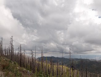
Mount Lemmon
Epic backpacking route from base to summit.
Severe Hiking
- Distance
- 65 km
- Ascent
- 3.1 km
- Descent
- 3.1 km
An achievable loop with one steep climb.
Hiking Difficult

Looking for a medium-length hike with a bit of climbing, but not too much? Look no further!
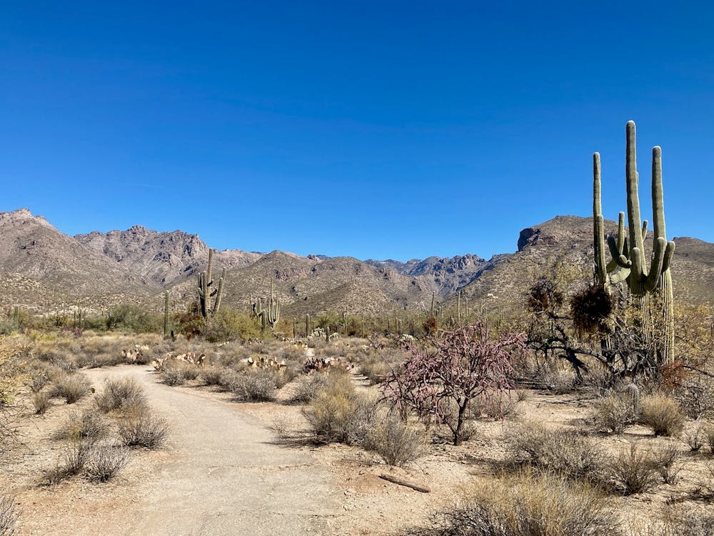
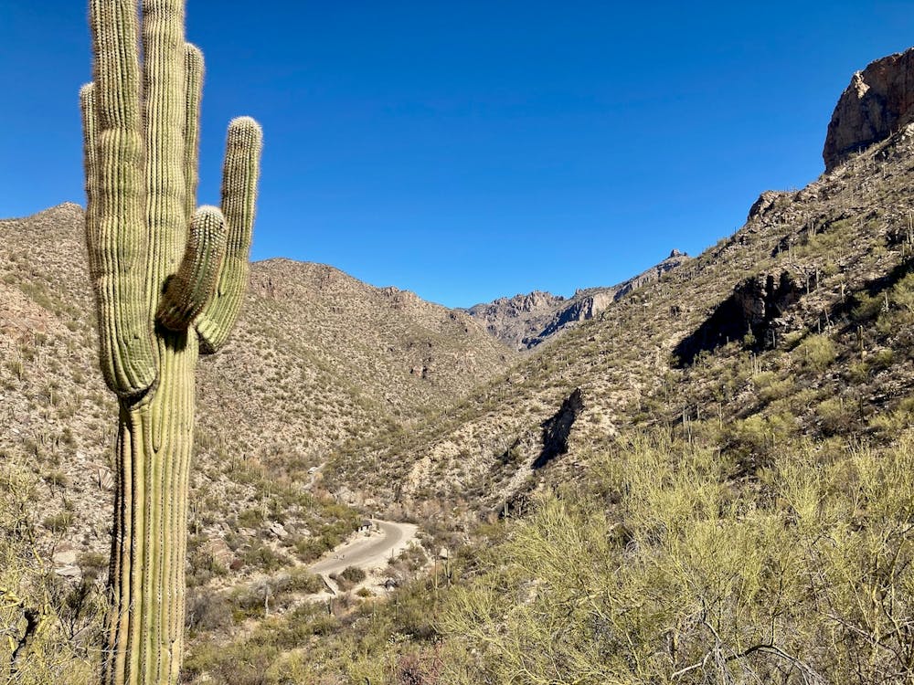
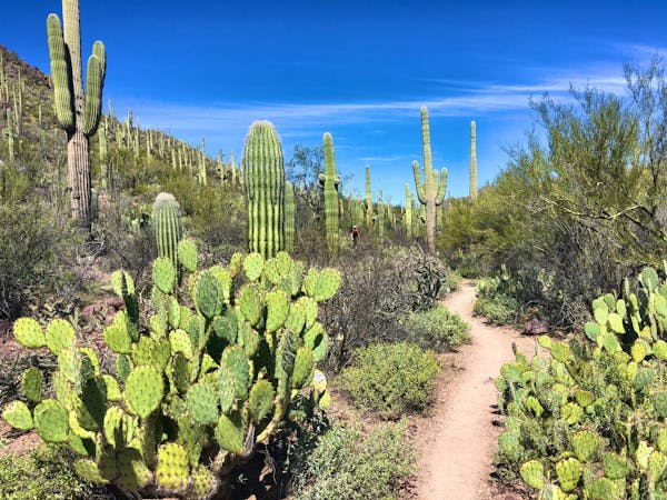
This 4.4-mile loop in the Sabino Canyon trail system follows the Esperero Trail to the Rattlesnake Trail, connects to the Phoneline Trail, and then follows Phoneline back down to the road, and the road back to the trailhead. Along the way, you'll gain about 728 vertical feet, most of which comes during the climb to the Phoneline Trail.
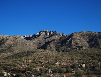
The loop as mapped begins by following the mellow Esperero Trail out from the trailhead, paralleling the road. When the trail crosses the road and begins climbing into the foothills, the hike begins in earnest. You'll have to clamber up rocks and ledges, but the views continue to get more and more beautiful the deeper into the mountains you go.
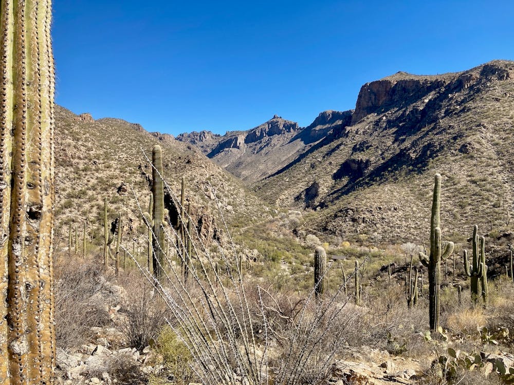
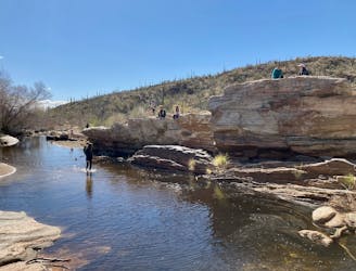
Take a right on the Rattlesnake trail; otherwise, you'll just keep walking into the Wilderness. Rattlesnake loops you back down to the main road, which you'll then cross to make for Phoneline. Before you get there, you'll have to cross a stream bed that's prone to flash floods. At the time of this writing, the crossing has been washed away, so you'll have to fend for yourself and follow this map. Just try to pick up the connector trail on the other side.
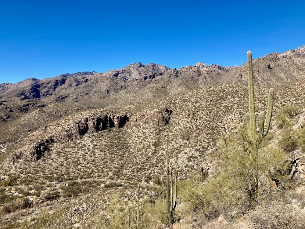
The Phoneline Tie trail climbs steeply up the mountainside, switchbacking back and forth on a narrow, rocky singletrack. This is the main climb of the day, and you'll feel it! Thankfully, it's over pretty quickly, and you'll find yourself on the main Phoneline Trail. A little more climbing, then it's all downhill back to the trailhead.
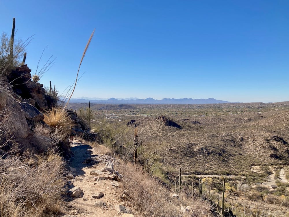
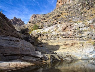
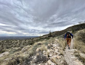
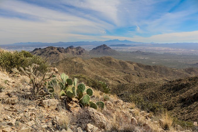
Phoneline slowly descends along a narrow mountain ridge, providing stunning views of Tucson below. After gradually making your way back down the mountain, follow the road or a trail paralleling it back out to the trailhead.
Difficult
Hiking trails where obstacles such as rocks or roots are prevalent. Some obstacles can require care to step over or around. At times, the trail can be worn and eroded. The grade of the trail is generally quite steep, and can often lead to strenuous hiking.

Some trail sections have exposed ledges or steep ascents/descents where falling could cause serious injury.

Away from help but easily accessed.
90 m away
Epic backpacking route from base to summit.
Severe Hiking
92 m away
A short but scenic loop to a surprising "lake" in the desert.
Moderate Hiking
115 m away
A beautiful set of waterfalls in the Sonoran Desert.
Moderate Hiking
8.8 km away
One of the most accessible major peaks in the Catalinas.
Severe Hiking
9.6 km away
This underused trail follows a historic route to a stunning overlook in the Catalinas.
Difficult Hiking
10 routes · Hiking
6 routes · Hiking

32 routes · Mountain Biking · Hiking · Road Biking

10 routes · Alpine Climbing · Canyoning · Hiking