8.8 km away
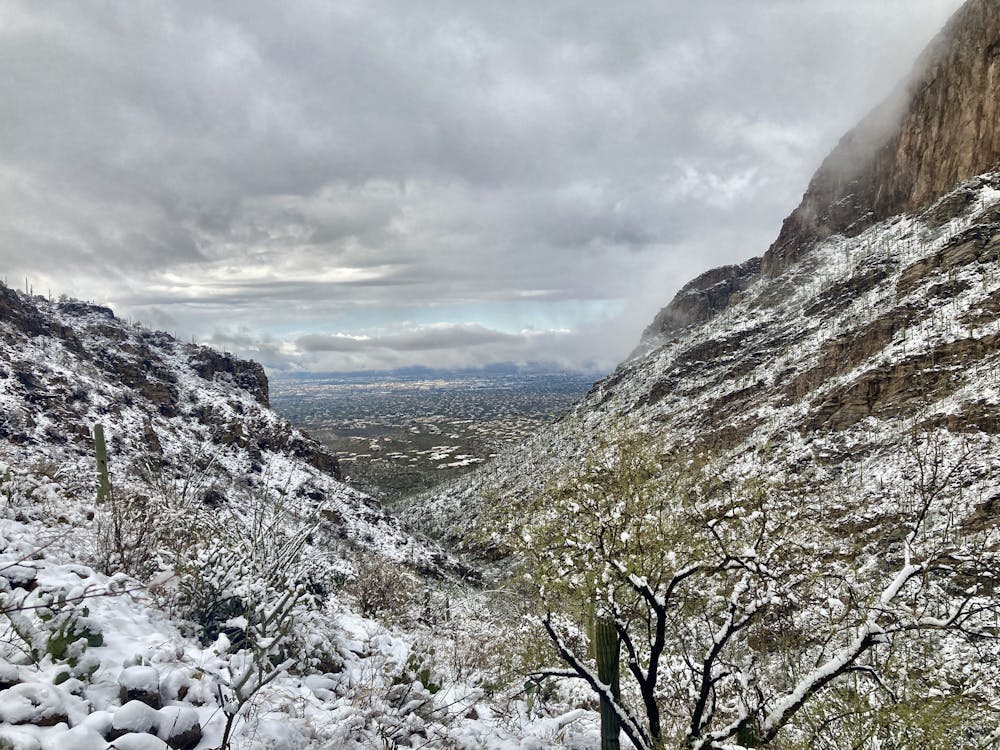
Sabino Canyon: Esperero -> Rattlesnake -> Phoneline Loop
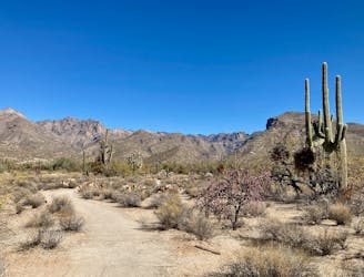
An achievable loop with one steep climb.
Difficult Hiking
- Distance
- 7 km
- Ascent
- 222 m
- Descent
- 222 m
One of the most accessible major peaks in the Catalinas.
Hiking Severe

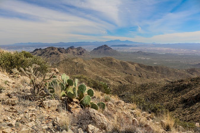
"At approx. 5 miles each way, Mt. Kimball is the most accessible major peak in the Catalinas," writes brianb on HikeArizona.com. Other peaks in the Catalinas rise much higher and are much more remote, making them difficult to hike base-to-summit in a single day. But even though you can tackle Mount Kimball in 10 miles round trip, don't think that the hike is easy: you'll have to climb 4,206 feet of elevation to reach the 7,258-foot summit!
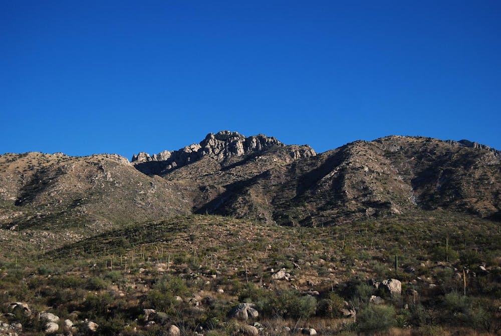
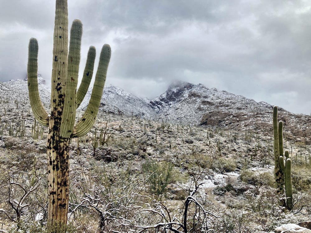
This route to the summit follows the popular ascent up the Finger Rock Trail. While the trail starts off quite flat, it quickly steepens—you have a ton of elevation to gain, after all. As you climb toward the summit, you'll enjoy beautiful views down into the canyon below.
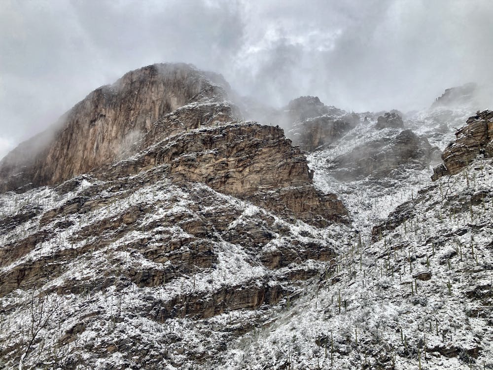
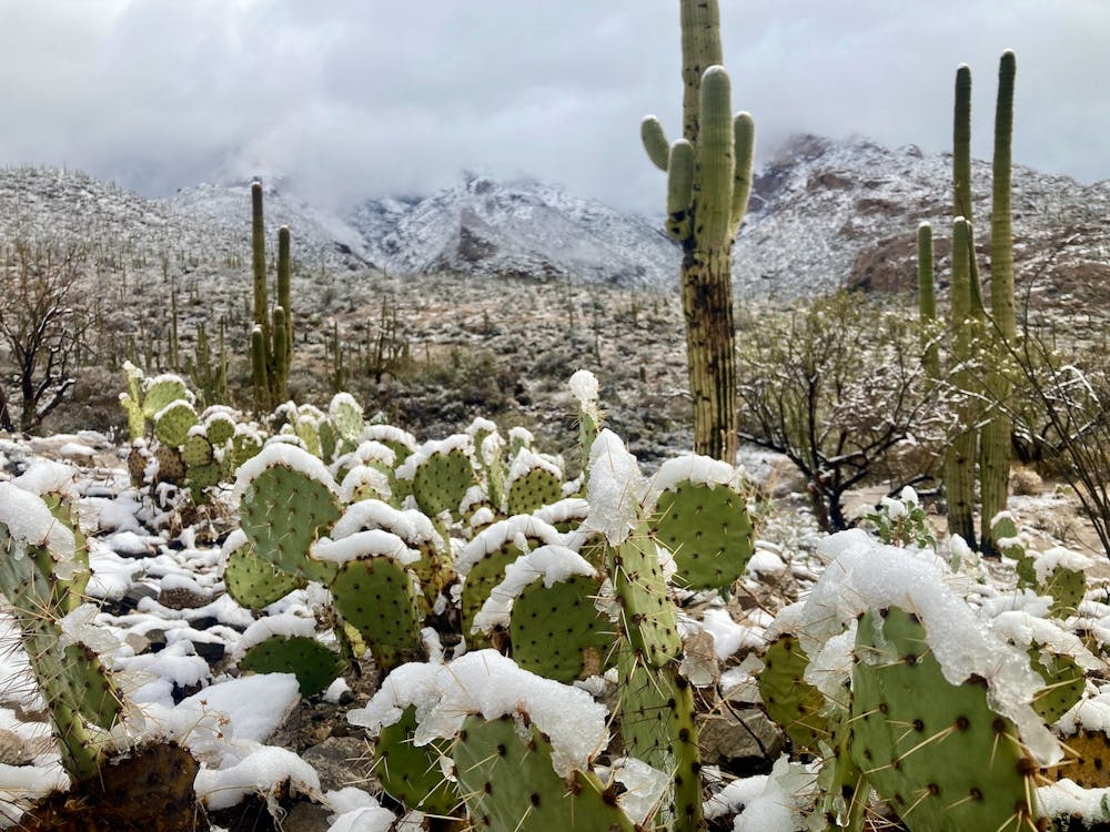
As you climb, you'll leave the dry desert environment behind and climb into a lush forest landscape. "Only as you climb higher do thicker vegetation and forests begin to appear," according to Andinstaloco on SummitPost.org. This unusual landscape makes Mt. Kimball, like most of its neighbors, a "sky island."
The summit of Mount Kimball features a small ledge, which "offers a stunning 180 degree view of the northwest side of the Catalinas - which is the prettiest and most dramatic view in the range, in my opinion," according to brianb. "Well worth the trip!"
Sources: https://hikearizona.com/decoder.php?ZTN=287 https://www.summitpost.org/mt-kimball/153654
Severe
Hiking challenging trails where simple scrambling, with the occasional use of the hands, is a distinct possibility. The trails are often filled with all manner of obstacles both small and large, and the hills are very steep. Obstacles and challenges are often unexpected and can be unpredictable.

The trail contains some obstacles such as outcroppings and rock which could cause injury.

Little chance of being seen or helped in case of an accident.
8.8 km away
An achievable loop with one steep climb.
Difficult Hiking
8.8 km away
Epic backpacking route from base to summit.
Severe Hiking
8.8 km away
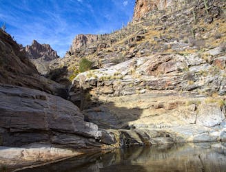
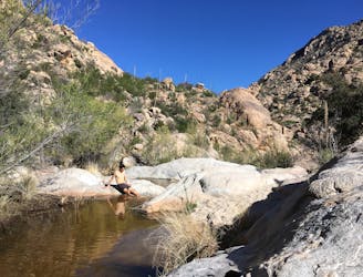
A short but scenic loop to a surprising "lake" in the desert.
Moderate Hiking
8.9 km away
A beautiful set of waterfalls in the Sonoran Desert.
Moderate Hiking
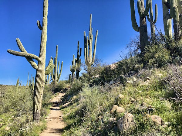
9.7 km away
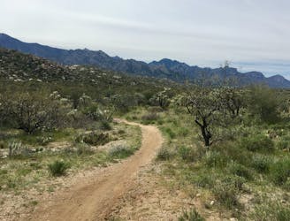
Hike one of Tucson's most renowned stretches of singletrack.
Difficult Hiking
9.8 km away
Hike to a seasonal collection of beautiful pools and waterfalls.
Difficult Hiking
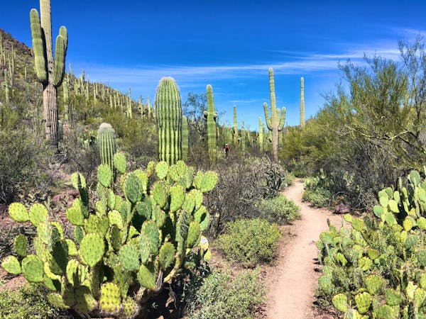
9.8 km away
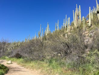
An ultra-popular loop hike with beautiful stream crossings and towering saguaro cacti.
Easy Hiking
9.9 km away
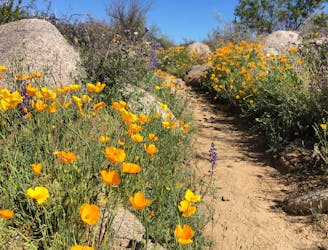
Experience the brilliance of poppies in the springtime on the Sutherland Trail.
Moderate Hiking
10 routes · Hiking
4 routes · Hiking
6 routes · Hiking

32 routes · Mountain Biking · Hiking · Road Biking

10 routes · Alpine Climbing · Canyoning · Hiking