343 m away
Village Bicycle Loop
A beginner-friendly bike tour of the South Rim with campground access, restrooms, and drinking water available.
Easy Road Biking
- Distance
- 8.4 km
- Ascent
- 90 m
- Descent
- 90 m
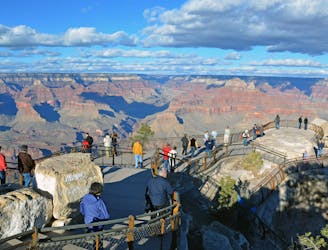
Road ride along the South Rim of the Grand Canyon.
Road Biking Moderate

This ride follows the main road along the South Rim of the Grand Canyon. It’s a well-paved, two-lane highway with narrow or nonexistent shoulders, and is often busy with large vehicles. Therefore, it’s only recommended for cyclists who are comfortable with high traffic, or during less busy times. Early morning is generally good, or during the lower-traffic months of November to March, if weather allows. Snow and ice can be present during this time.
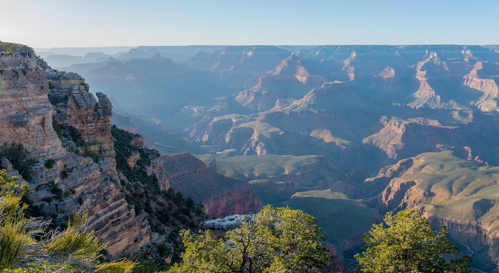
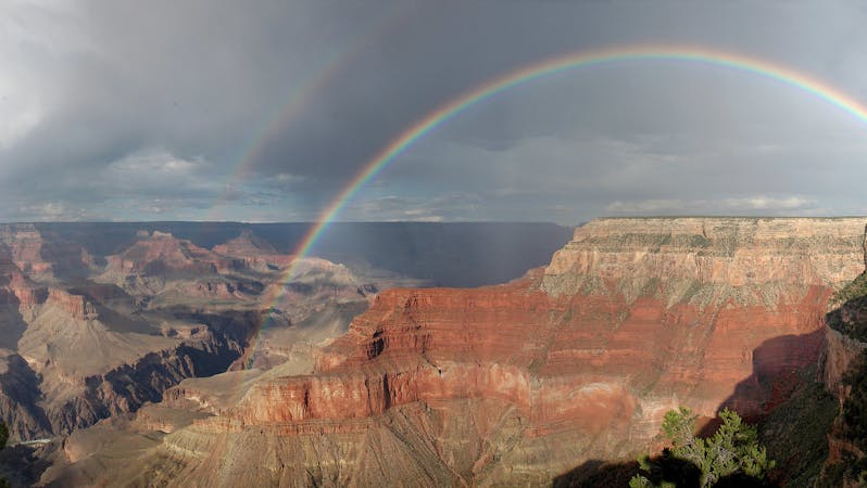
If you enjoy cycling in unique locations, however, this route is well worth it. Tracing the rim of the Grand Canyon, the entire ride is above 7,000 feet elevation and includes many dramatic overlooks. In addition, wildlife sightings like elk and mule deer are not uncommon. The terrain is undulating but lacks any especially steep or long hills. The workout may still seem intense for those unaccustomed to altitude, however.
The ride is mapped here as a one-way from the visitor center to Desert View. Both locations have ample parking and services including food, water, and park information. There are no reliable services in between, however. Note that riding as a one-way requires a vehicle shuttle. The park does have free buses that can carry bikes, but they do not service this route.
Sources: https://www.nps.gov/grca/learn/news/upload/sr-pocket-map.pdf
Moderate

Close to help in case of emergency.
343 m away
A beginner-friendly bike tour of the South Rim with campground access, restrooms, and drinking water available.
Easy Road Biking
343 m away
An easy, family-friendly bike ride between the South Rim Visitor Center and Yaki Point.
Easy Road Biking
3.5 km away
Cycle along the rim of the Grand Canyon on a paved path that’s closed to cars.
Easy Road Biking
9.1 km away
A developed Greenway Trail connecting the town of Tusayan to the South Rim Visitor Center.
Easy Road Biking
8 routes · Mountain Biking · Road Biking