2 km away
Echo Mountain Loop
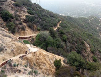
Historic path to a ruined resort and one of the best views over Pasadena, plus the waterfalls of Rubio Canyon.
Difficult Hiking
- Distance
- 9.1 km
- Ascent
- 557 m
- Descent
- 557 m
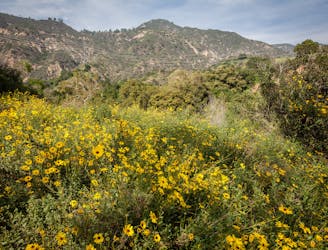
A hidden gem far from the bustle of Pasadena!
Hiking Moderate

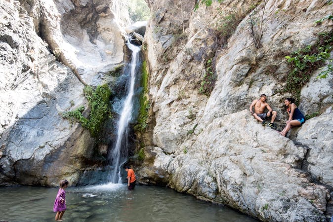
Millard Canyon is part of the Angeles National Forest and is accessible via a relatively short hike from the Millard Canyon Campground. Going all the way up it to Millard Falls is highly recommended, and is only about 2 miles round trip.
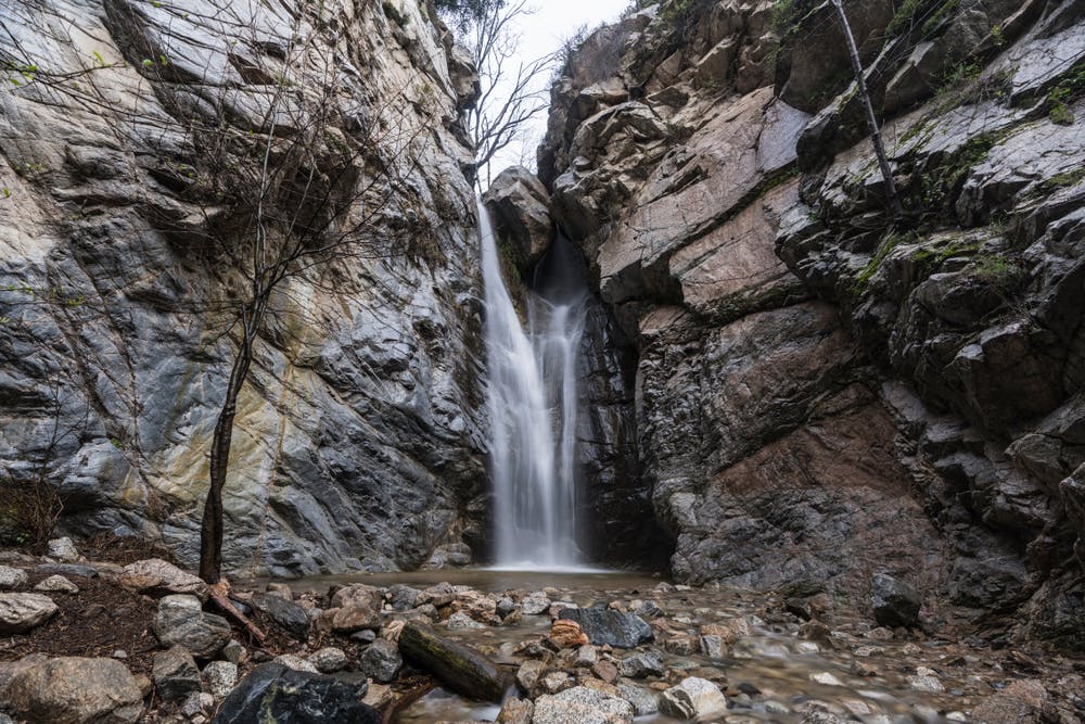
The trail follows Millard Creek through a shaded canyon, and the hiking involves some rocky terrain and a couple of river crossings, so sturdy footwear is recommended. Upon arriving at Millard Falls you'll be beneath a stunning 50-foot waterfall that cascades over a rocky cliff into a tranquil pool below. The waterfall is particularly impressive during the wetter months, typically from late fall to early spring, when there's more water flowing.
As well as the falls, the rocky walls of the canyon and the lush trees which line it are beautiful. It's a peaceful and serene environment, providing a welcome escape from the hustle and bustle of the city.
This is a great little hike, but be aware that the trailhead parking area can fill up quickly on weekends, so arriving early is recommended.
Moderate
Hiking along trails with some uneven terrain and small hills. Small rocks and roots may be present.

The trail contains some obstacles such as outcroppings and rock which could cause injury.
Away from help but easily accessed.
2 km away
Historic path to a ruined resort and one of the best views over Pasadena, plus the waterfalls of Rubio Canyon.
Difficult Hiking
2 km away
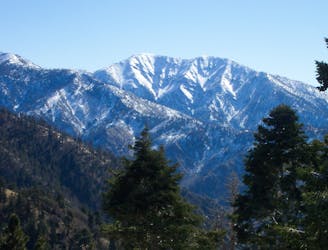
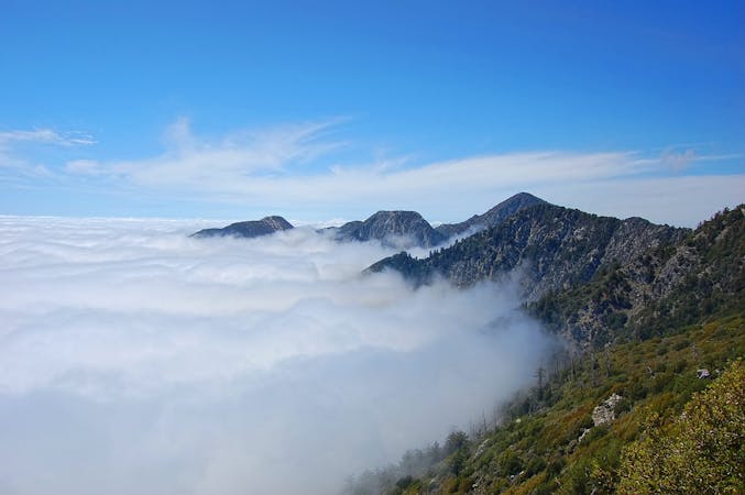
Incredibly scenic uphill journey linking multiple overlooks in the San Gabriel Mountains.
Difficult Hiking
5.6 km away
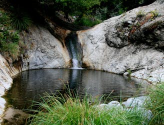
Hike down a forested canyon to find multiple waterfalls and small swimming holes.
Moderate Hiking
6.2 km away
Very popular hike to one of LA-area's favorite waterfalls.
Moderate Hiking
17 routes · Hiking
12 routes · Hiking
9 routes · Hiking
10 routes · Hiking