3 m away
Pauley Creek -> Second Divide Shuttle
A ride combination of lesser-ridden trails to keep you off the beaten path.
Severe Mountain Biking
- Distance
- 33 km
- Ascent
- 555 m
- Descent
- 1.8 km
A shuttle run of epic proportions, dropping thousands of feet from a mountain top down to a river bottom.
Mountain Biking Severe

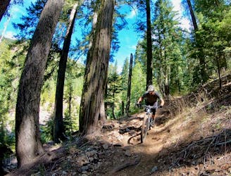
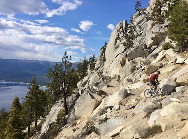
The Downieville Downhill is a classic shuttle run of epic proportions! Over the course of 15 miles the trail drops over 4,000 feet of net elevation. Running from the top of a mountain ridge down to the banks of the Yuba River, this epic trail has been a classic ride for decades. In fact, the trail and the town of Downieville are host to a long running race/festival dubbed the “Downieville Classic.”
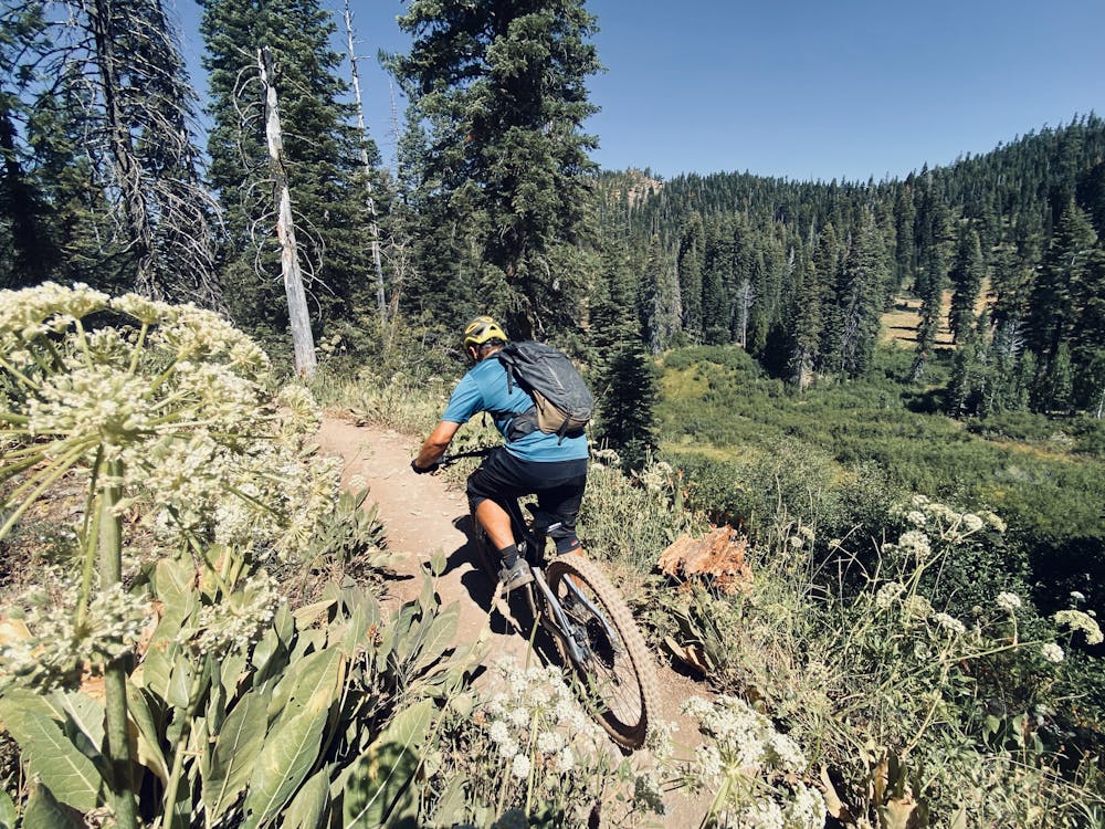
The shuttle (hit up Yuba Expeditions for shuttles and rental bikes) drops riders at the top of Packer Saddle. From there, the route follows a few different trails including Sunrise, Butcher Ranch, Third Divide, Upper First Divide, and Lower First Divide. However, the route is relatively easy to follow with a good map.
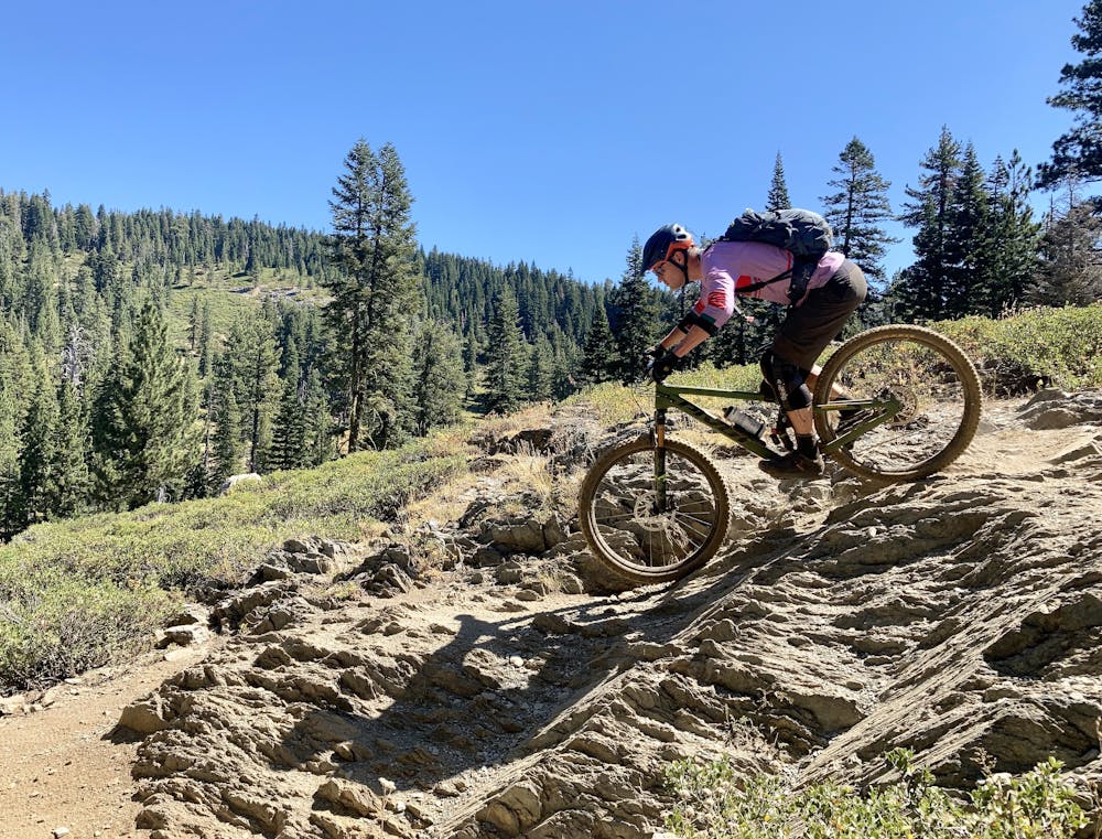
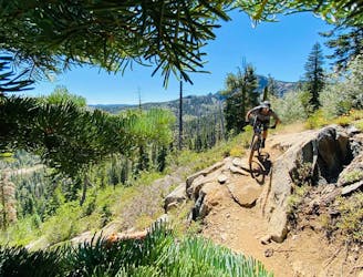
Sunrise is a fast, flowy descent with well-built corners. The character of the ride changes quickly as it drops into the ultra-gnarly Butcher Ranch. Butcher is hands-down the most technical portion of the route, with massive rock gardens and challenging features.
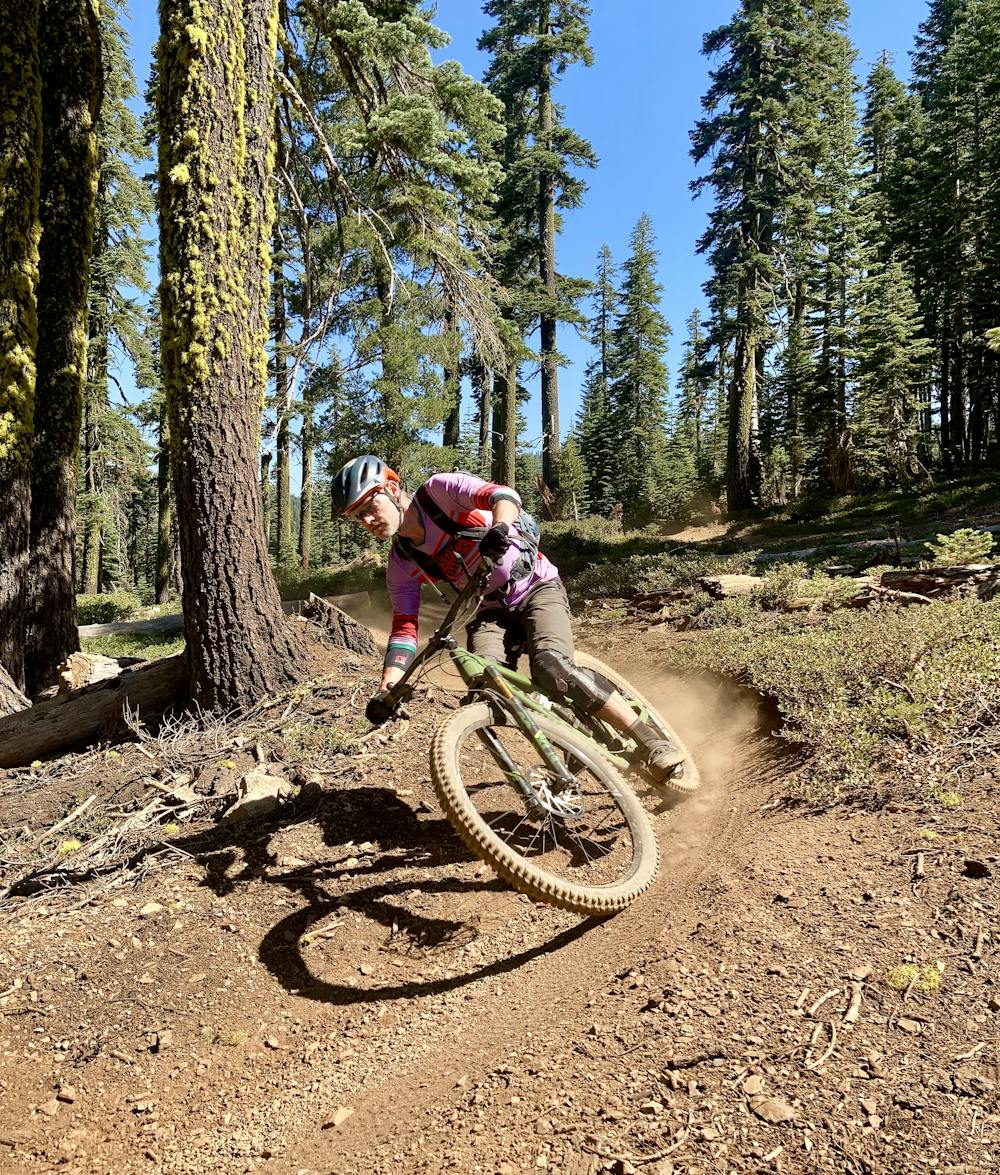
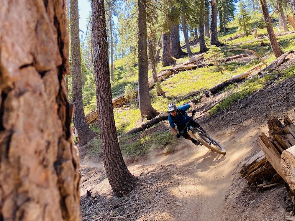
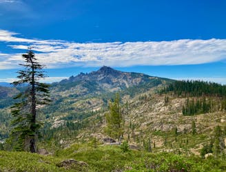
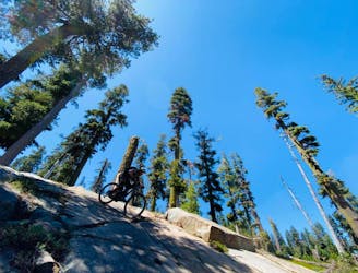
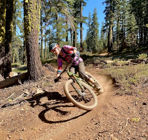
Once through Butcher, the rest of the ride is gravy. Largely comprised of buff bench cut singletrack, the trail flows down the side of a narrow valley with a mountain stream coursing through the valley bottom below. Thanks to long sight lines and buff trail, riders can hit extremely high speeds on this narrow singletrack—but stay aware of other trail users!
While a couple of brief climbs punctuate the descent, they’re over almost as soon as they’ve begun, allowing you to get back to the delectable downhill ripping.
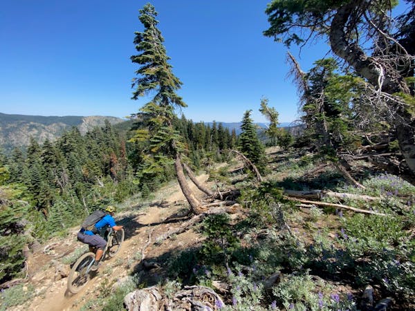
Downieville, California is home to over 500 miles of bike legal singletrack, so numerous alternate routes abound. Stick to the classic route for an easy ride to town, or choose an alternate trail and head deeper into the backcountry—the choice is yours!
Severe
Widely variable, narrow trail tread with steeper grades and unavoidable obstacles of 15in/38cm tall or less. Obstacles may include unavoidable bridges 24in/61cm wide or less, large rocks, gravel, difficult root sections, and more. Ideal for advanced-level riders.

Some trail sections are extremely exposed where falling will almost certainly result in serious injury or death.

Little chance of being seen or helped in case of an accident.
3 m away
A ride combination of lesser-ridden trails to keep you off the beaten path.
Severe Mountain Biking
3 m away
A longer, more difficult variant of the Downieville Classic.
Severe Mountain Biking
3 m away
An epic shuttle route from Packer Saddle.
Severe Mountain Biking
8.8 km away
Mount Elwell point-to-point shuttle beginning in Lakes Basin.
Severe Mountain Biking

25 routes · Mountain Biking

10 routes · Mountain Biking
4 routes · Mountain Biking

10 routes · Mountain Biking
5 routes · Mountain Biking

24 routes · Mountain Biking
7 routes · Mountain Biking

5 routes · Mountain Biking

20 routes · Mountain Biking